First post: Myttinge / Rindö Adventure in Stockholm County
This is the first post on my photoblog, so let me set a few things straight. When I go exploring with my camera, the central goal of my picturing is to reproduce my journey as accurately as possible. To that extent, the only time my D90 comes off auto is when the camera’s having trouble making a picture like my eye sees it, and my eyes don’t tend to stare closely at flowers or see the world in black and white. If you are looking for a hipster art blog, go somewhere else. Everything is in chronological order, and I try to comment only as much as necessary to glue a story together. Ok lets go..
My day started at 0830 when I took a two minute bus ride to the ferry terminal at Nacka Strand.
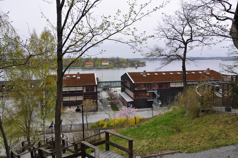
It was overcast and gross out but the weather was supposed to improve by midday.
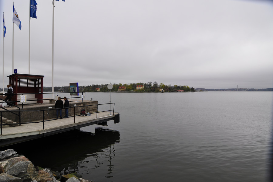
The ferry I took to Vaxholm was operated by Waxholmsbolaget, which is unfortunately not part of SL and thus precludes the use of my transit card. The ride was over an hour long and cost around $15.
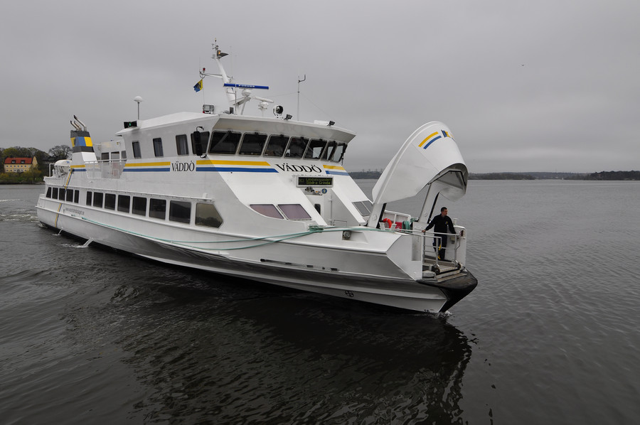
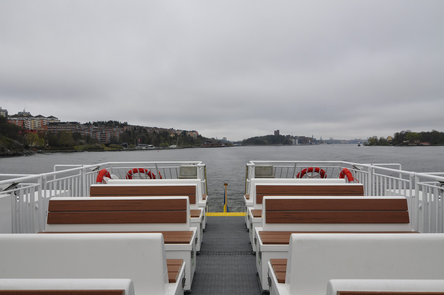
Here we are approaching Vaxholm
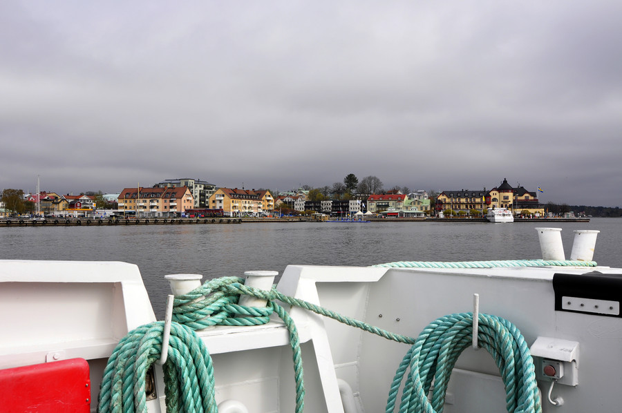
While it seems to blend into the mainland, the castle behind the right crewmember’s head is actually on a small island which sits in-between Vaxholm on the left and Rindö on the right. I was ultimately headed for Myttinge, but the only way to get there from Vaxholm is by ferry hopping via Rindö (requiring three boats in total from home).
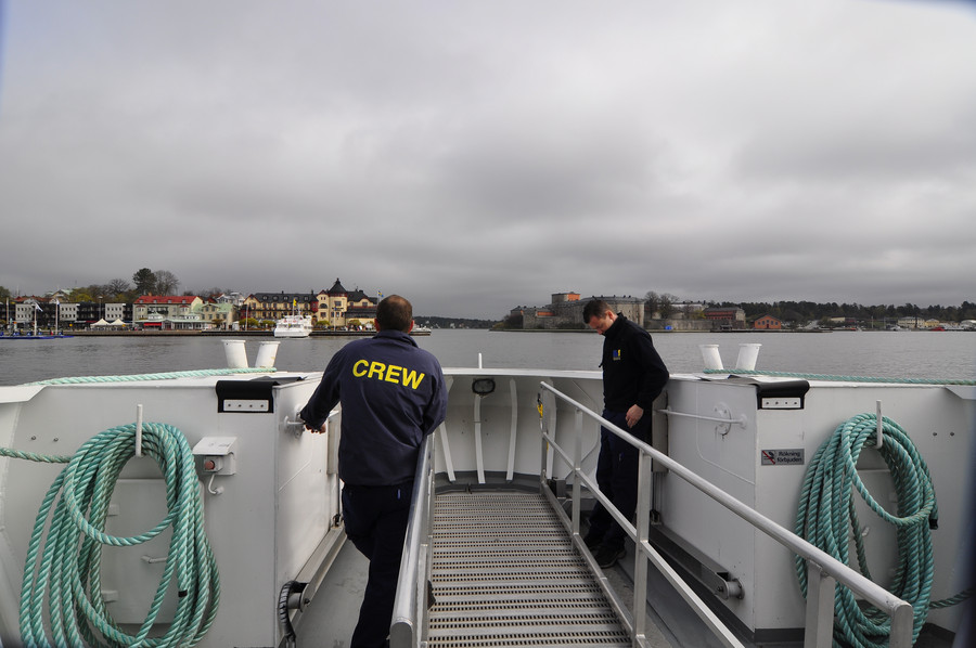
Making the quick trip from Vaxholm to Rindö.
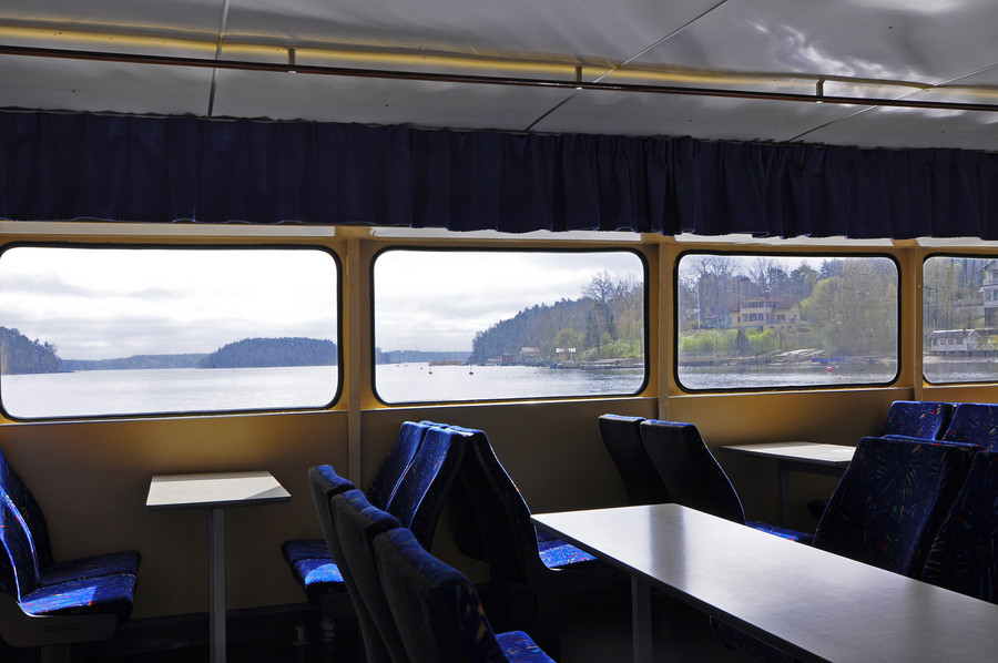
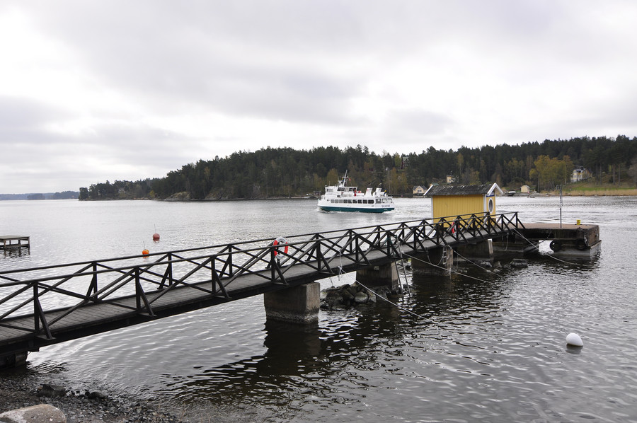
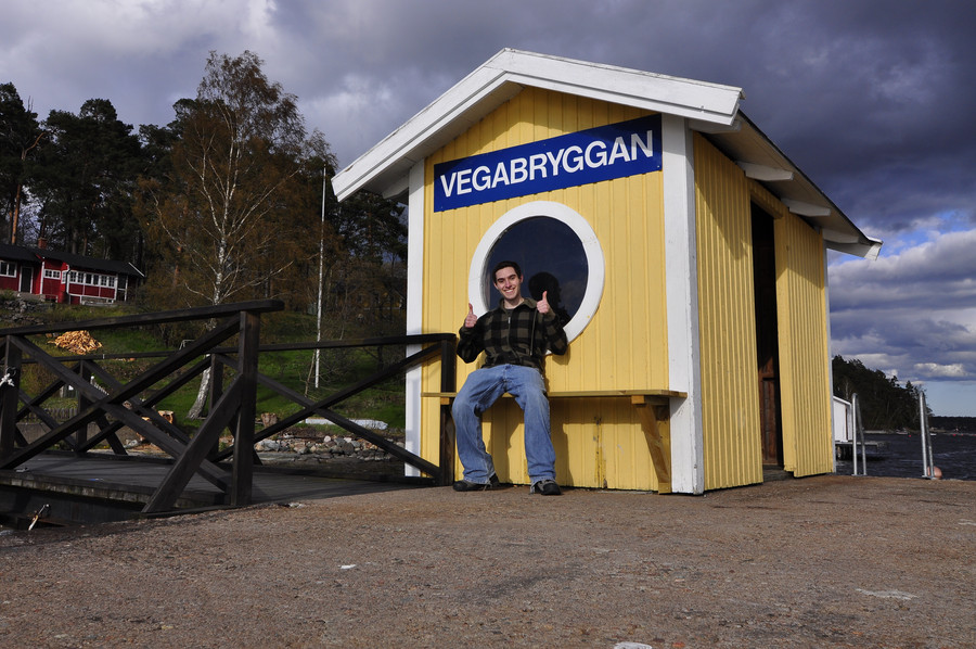
I got off at Vegabryggan, a small dock at the end of a quiet residential street. It’s at Rindö’s midway point, and I had to walk to from there to the eastern end of the island to catch the final boat to Myttinge.
I like the thoughtful touch on the trashcan.
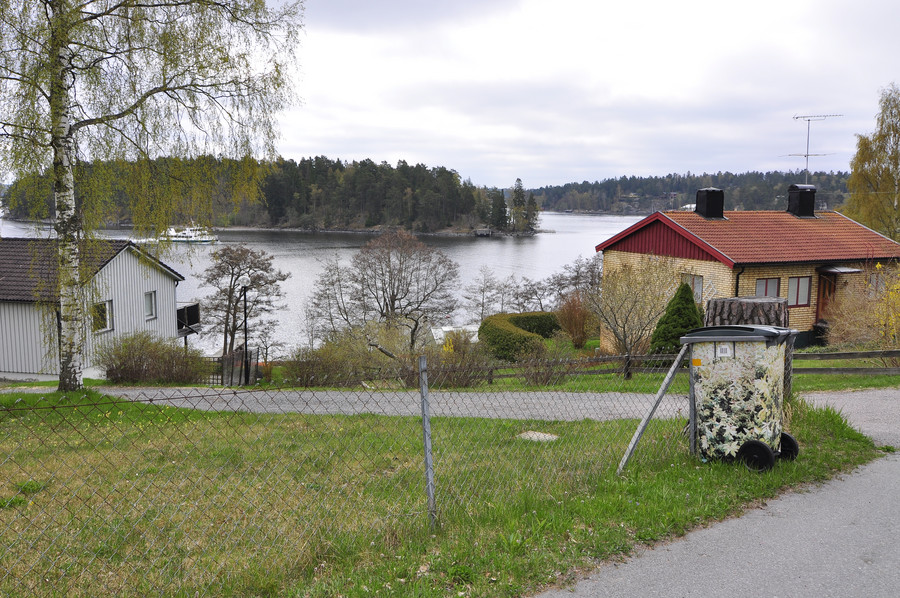
It’s a very beautiful place, and quiet at that. Most of the time I felt like I was there by myself.
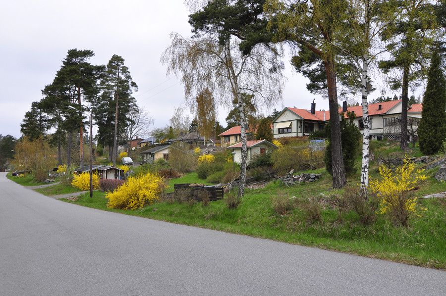
Thought of Dad and made a quick video:
Picture of me.
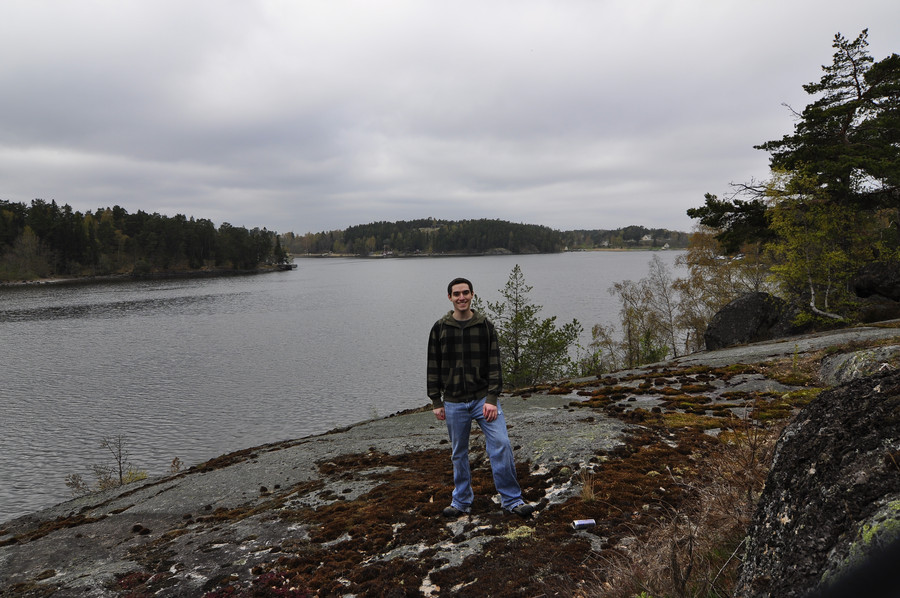
In the background you can see what looks like a lighthouse, and I decided to stop by and investigate.
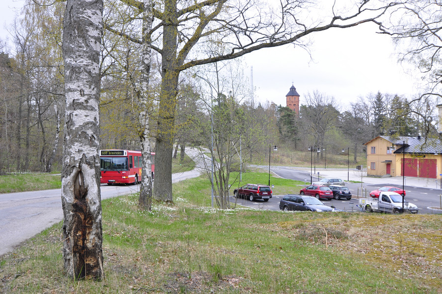
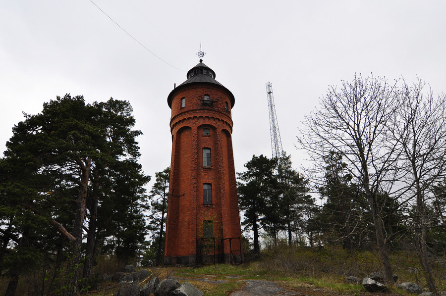
The lighthouse sits maybe a hundred meters from the road on a little hill, and it seemed abandoned to me. The windows in the front (not shown) are broken, and there is a padlock on the door. I found out later it’s actually a water tower (or used to be).
Just mulling about the tower hill I saw this thing:
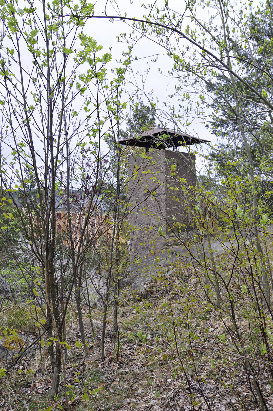
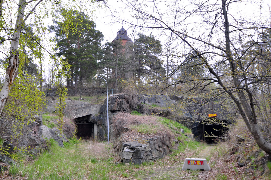
It’s clearly a large airvent for something underground, and I wanted to see what for. I walked down the street a little ways and found a tunnel entrance.
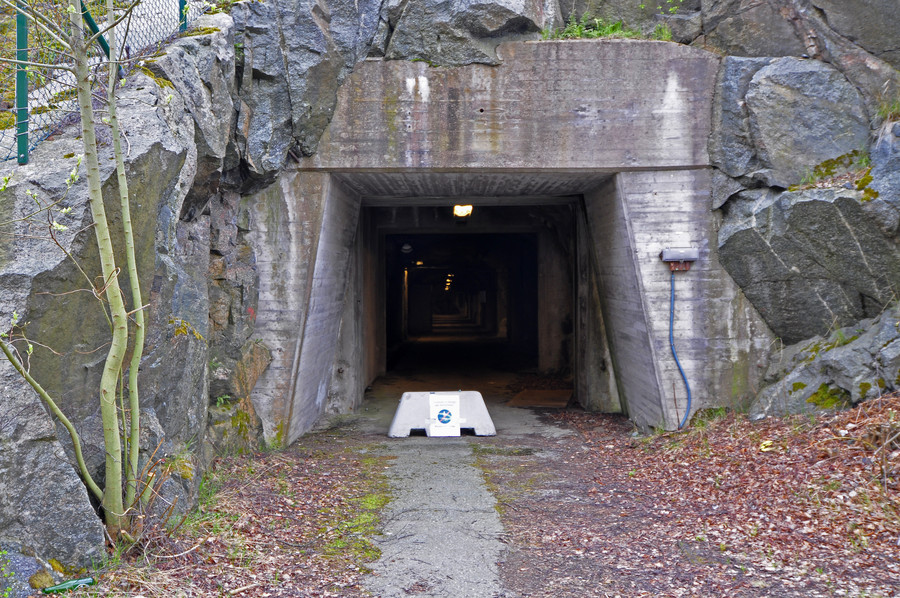
This got me really excited, and I immediately thought about walking inside but was initially too nervous. It’s just eerie, and the sign outside says you aren’t supposed to go in. I walked away on a path behind some empty buildings. I realize this is extremely boring story telling when I read it back, but I’m not very eloquent or exciting and don’t claim to be lols. I’m just trying to glue the pictures together for the sake of my own memory, and don’t intend anyone to actually read this.
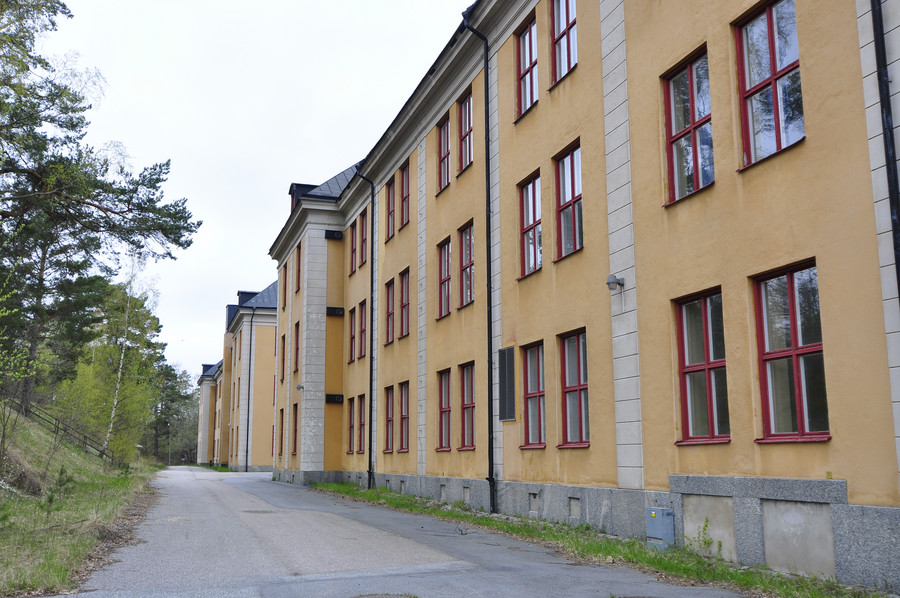
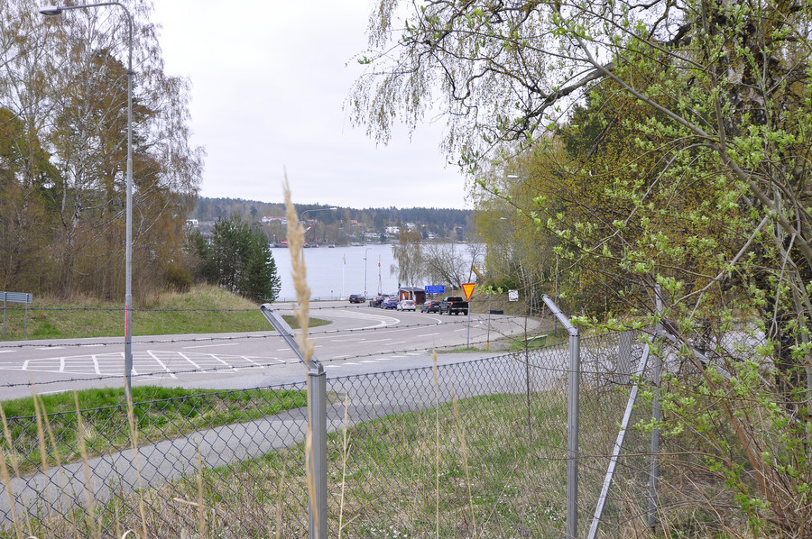
So anyway, I’m walking behind these buildings in the direction of the main street I was originally walking on before I detoured into this school yard where I found the tunnel. The further I walked away the more I knew in the back of my head that I wanted to go inside, but I didn’t really have the courage. Then I came to a chainlink fence, separating me from the ferry to Myttinge. This whole walk across Rindö only took maybe 30 minutes, it’s not that big.
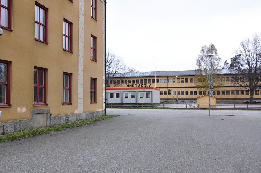
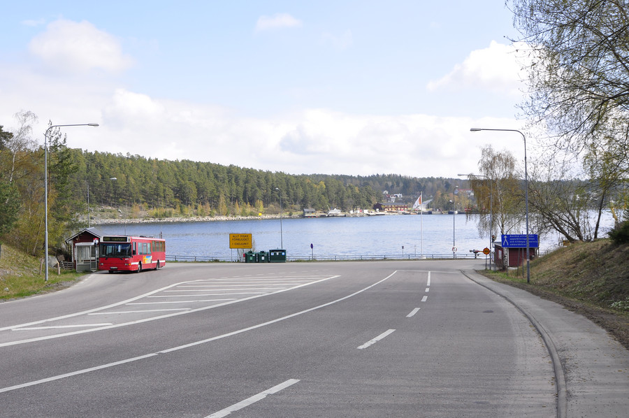
With the fence in my way I had to turn back and get on the main road again anyway, so I had a second chance to walk by the tunnel again. You can see I’m walking on the grounds of an elementary school, but it was 10am on Saturday and nobody was there. I mean really, Rindö is a ghost town. The only vehicle I saw in motion was that red bus that drove back and forth between each end of the island, and every time I glanced inside I never saw anyone in there. Feeling secluded gave me more confidence.
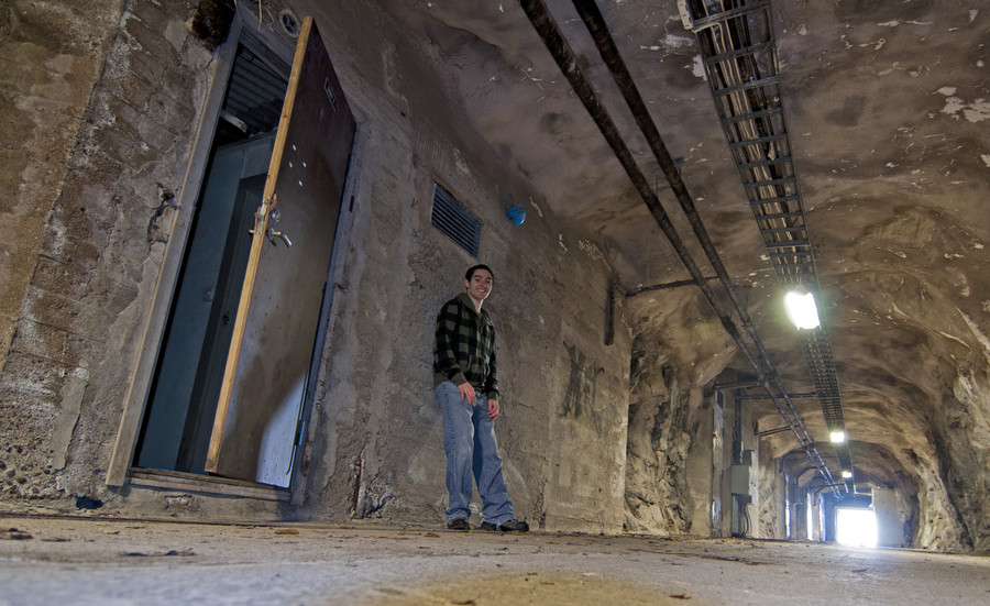
There were many doors inside that were all shut and locked, like this one.
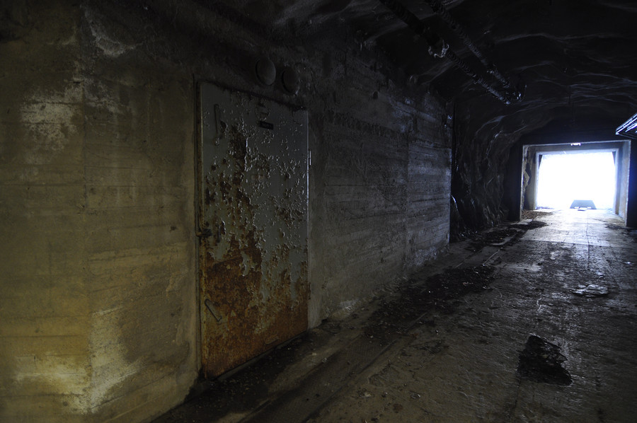
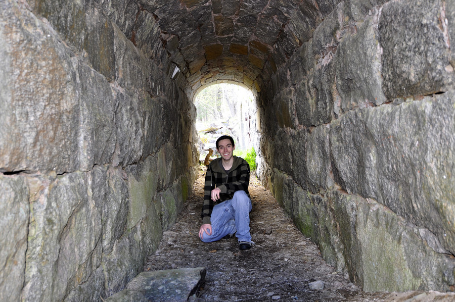
This clearly used to be used for something military related, but I have only done a cursory web search so far. I imagine that today it’s just used as a pedestrian tunnel to walk straight through the tower hill instead of walking around it by road. In any case it was damp and echoey.
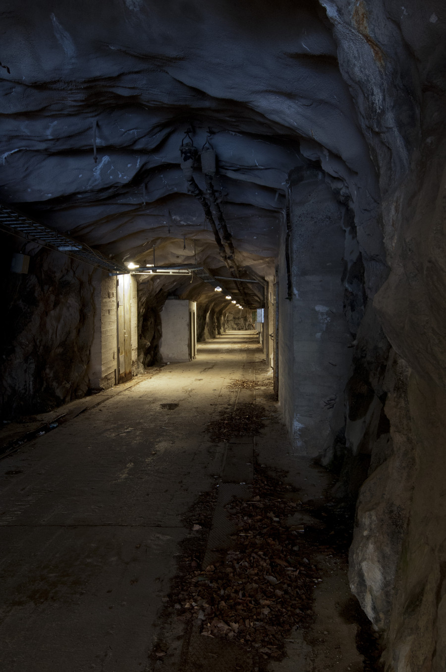
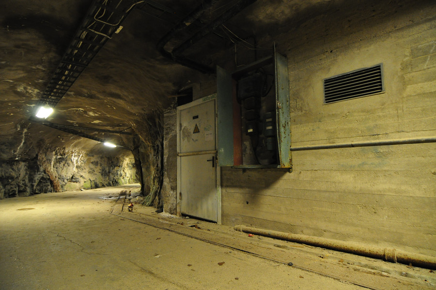
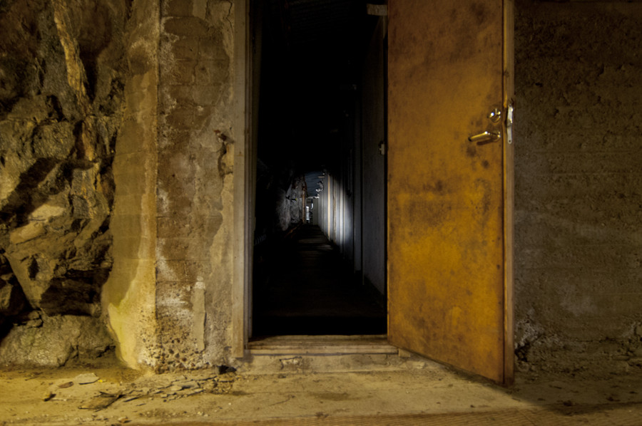
There was one door, and only one door, which was adjar. I opened it up and took a photo in flash, then quickly walked away. It was a pitch black corridor and scary. All the photos I took in here have long exposure times, and I had to brace my camera against the walls/ground to keep it steady enough. It was much darker in there than these pictures make evident, and I felt tense the whole time.
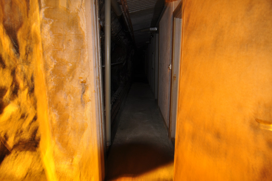
I walked around the bend and continued out the other side.
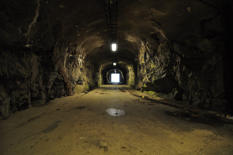
Here I’m on the other side of the tower hill, and you can see how there are two tunnels. The one on the left is boarded up, the one on the right is where I came through. All the doors in the hallway were facing the inner side, so I imagine there were long corridors behind them connecting with the other tunnel. I walked back through the way I came to get a chance at more pictures.
Btw the gps coordinates for the tunnel entrance in the below photo are 59.3936880, 18.4341785
I actually brought my maglight with me in anticipation of ending up somewhere dark, cuz i hella think ahead yo. I put the camera on my backpack on the ground and took this long exposure with my flashlight shining down. I really wish I had the balls to walk down there, but even with my flashlight I just couldn’t do it.
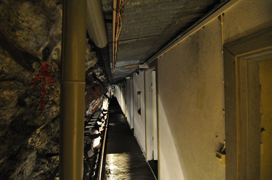
I mean really, this was the most exciting thing I came across in the entire 9 hour day I spent out there exploring. It was nagging in the back of my mind all day for how much I wanted to just walk down there and explore the closed tunnel and see what artifacts I could find, but I was by myself and was afraid of zombies.
Here’s the best picture I took.
I also took a short video.
It gives a more realistic sense of the lighting situation.
Quick note about photoshop and how I use it. The following image is the jpeg developed by my camera. The white balance is clearly fucked up.
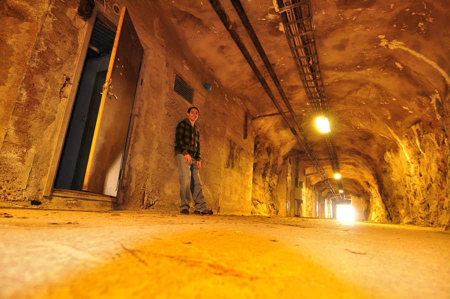
And two seconds later, magic. The thing is, the first photo is closer to reality than the second. The white balance in real life was fucked up, because the lights in the ceiling were in fact yellow. Going with what I said at the beginning of this post, my pictures here aim to recreate my adventure as accurately as possible. Most photo retouching I do is only to further these times where I know better than the camera, so I would forego the correction in the latter image and post the yellow one instead.
I’ve stripped the pictures of exif information in an effort to make them smaller, but I will let you know of any egregious photoshop lies.
After all the tunnel excitement, I walk down to the dock for the last hop across the channel to Myttinge.
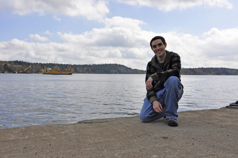
I’ve shown lots of discretion on posting self shots, there are way more in my folder than I’d like anyone to know about. That yellow boat is the car ferry that goes back and forth between here and Myttinge all day, and like all car ferries off the island, the fare is free. I was delightfully surprised when the crewmember told me this, and he just said that Stockholm has apparently decided it’s in the interest of society to provide connections to this island. I swear the population of Rindö is probably no more than 1000, it’s downright epic they have a bus service and boats.
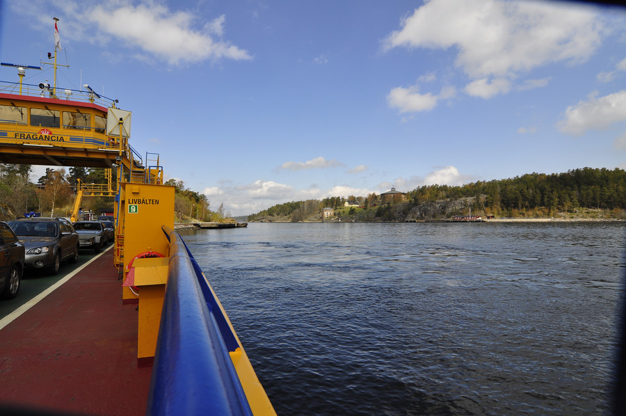
Taking the ferry across.
Straight from the camera [SFTC]. Sometimes you just get these perfect shots.
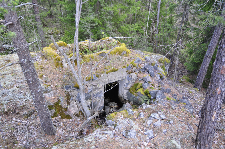
Ok so here is my first WWI artifact from Myttinge. This one is exciting because it wasn’t in my GPS, I just completely stumbled upon it randomly with luck. I’m not exactly sure what it is. It was like a mini burried pillbox, but not tall enough to stand inside of. That door is maybe one meter tall. While I can tell temperature by metric now I still think in feet, but I will always say meters to sound European. 🙂
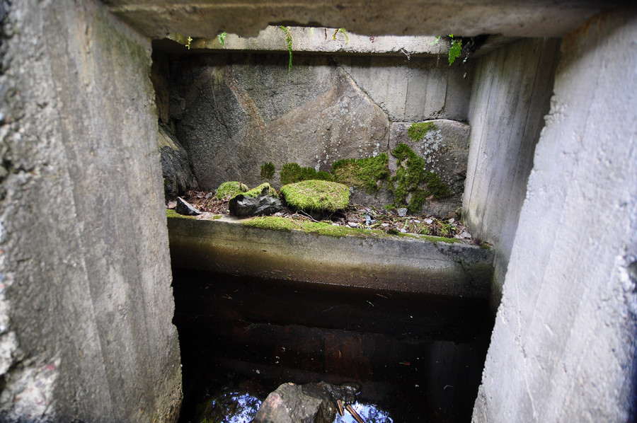
Looking inside, you can see there’s a skylight but not much else. I’m not sure how big it is to the left because the water prevented me from poking my head inside.
The GPS coordinates for this find are 59.3988949, 18.4453415.
Every time I found something interesting I took a picture with my cellphone so I could harvest the GPS data later.
So here’s the deal about this trip. The night before I took a list of coordinates from from the svenska wikipedia page and created a Google KML file out of it, which you can load in Google Maps. I wish it were more exotic than it sounds, but I was essentially just trekking through the forest with Maps on my phone. That’s what made it so exciting when I found things I wasn’t looking for, like the tunnel on Rindö and this bunker I’ll show you later.
Here is a picture of me standing on a rock.
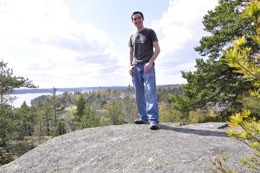
So basically, I’m not going to venture all the way out to the middle of nowhere and then not have any pictures to prove I was at such and such a place. I take a lot of pictures of myself standing in front of shit. Sometimes it’s to mark a scenic location like above, and sometimes it’s just to show “and here I was walking down this path…”
Since I’m by myself I have to set my camera on top of something and use the timer, which often times is a lot harder than you might think. It’s kind of like an art form that takes lots of practice to get good results, and even though I do have lots of practice I still often end up with this:
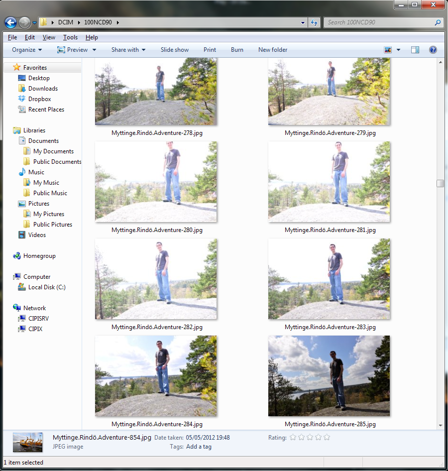
I kept getting fucked because the clouds were moving fast and every time I set the timer the light would change within the 10 seconds and expose wrongly. But I’m not ashamed to show it–behind every picture I’ve cherry picked for this post there’s probably one or two more that didn’t turn out right. I’m really not a great photographer… I took over 800 photos on this one day, and most of them are garbage. Anywho, now you know my dirty secret. Moving along now.
Yep some round thing.
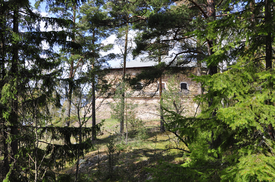
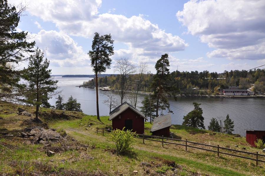
Very beautiful view. The GPS coordinates for this and the circle thing are 59.3995962, 18.4422960.
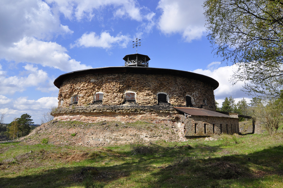
Dunno what it is/was.
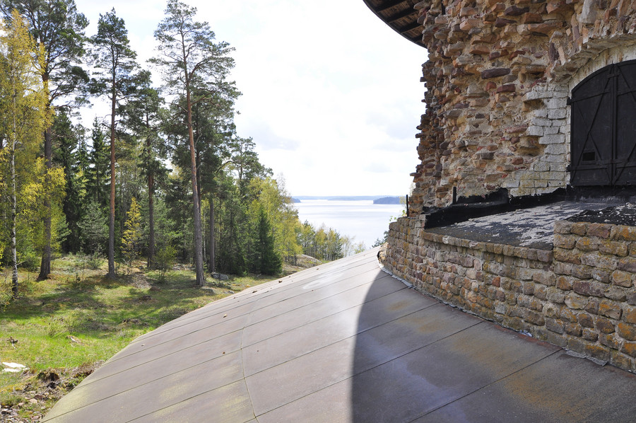
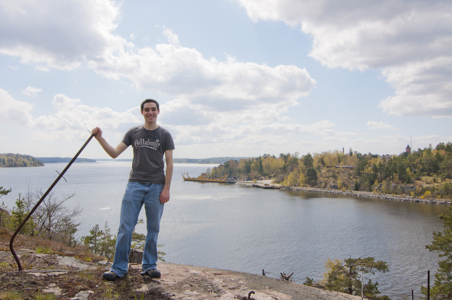
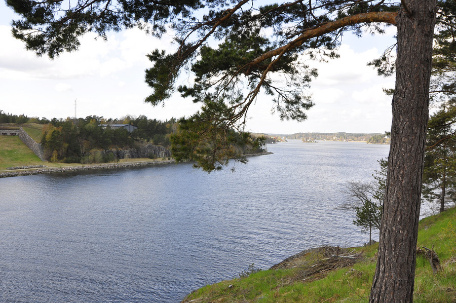
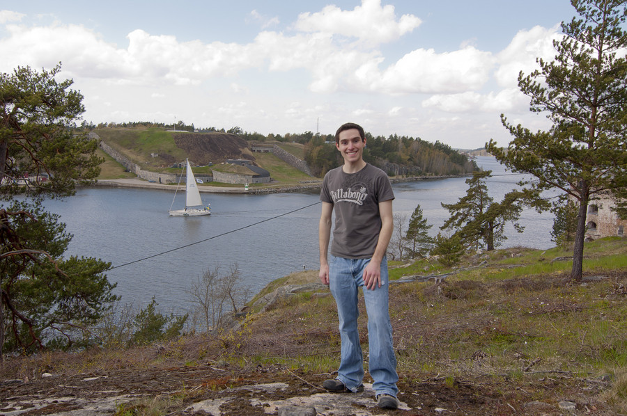
Those last three photos were full of lies, just staying true to my word that I’d let you know 😉
Ok so here was the first preprogrammed location I came across, 7:e batteriet. Coordinates are here: 59.4020685, 18.4399101
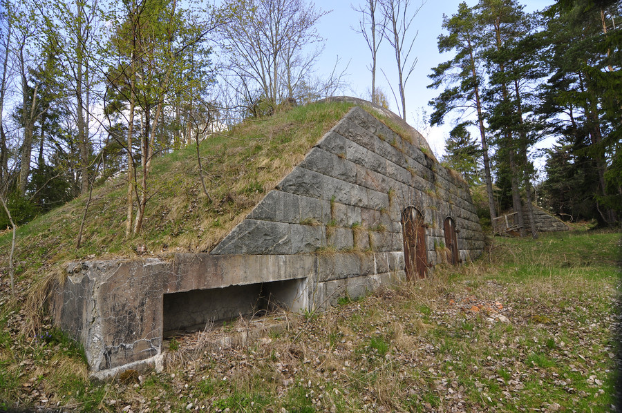
It seemed very much on someone’s property, and there was very much cars in their driveway. I didn’t want to dwell in their backyard so only one photo for now.
Walking through the forest to my next objective, SFTC (straight from the camera yes this is my signature new acronym).
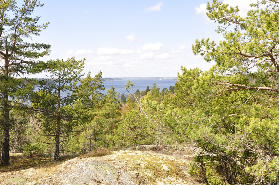
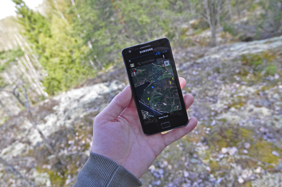
Behind the scenes.
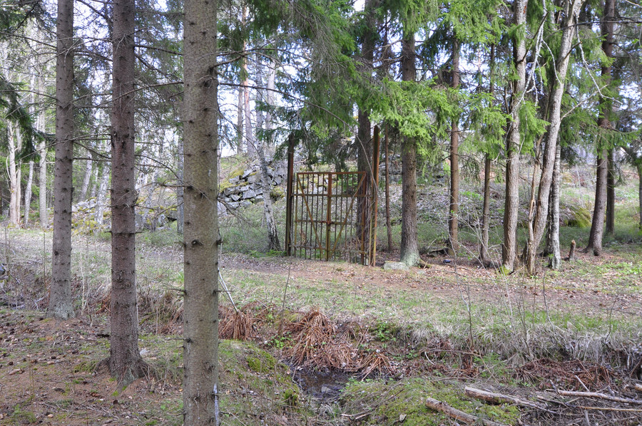
Ok so this was my second exciting surprise of the day. I was about halfway in-between two of my pushpins when I stumbled upon something uncharted and fascinating. I mean this was really really awesome, just walking through the forest and then coming upon some rusted ass gate to nowhere. I felt like I found this place, like I accomplished it.
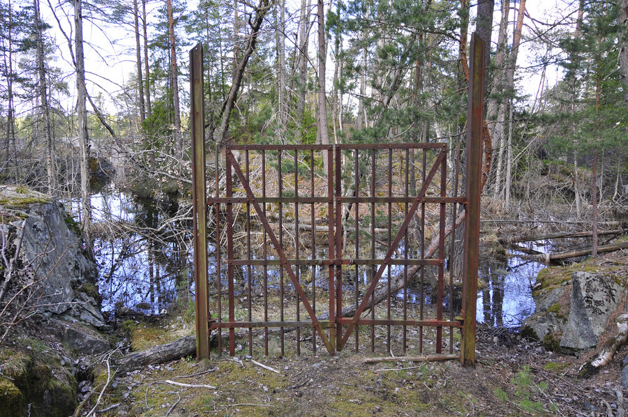
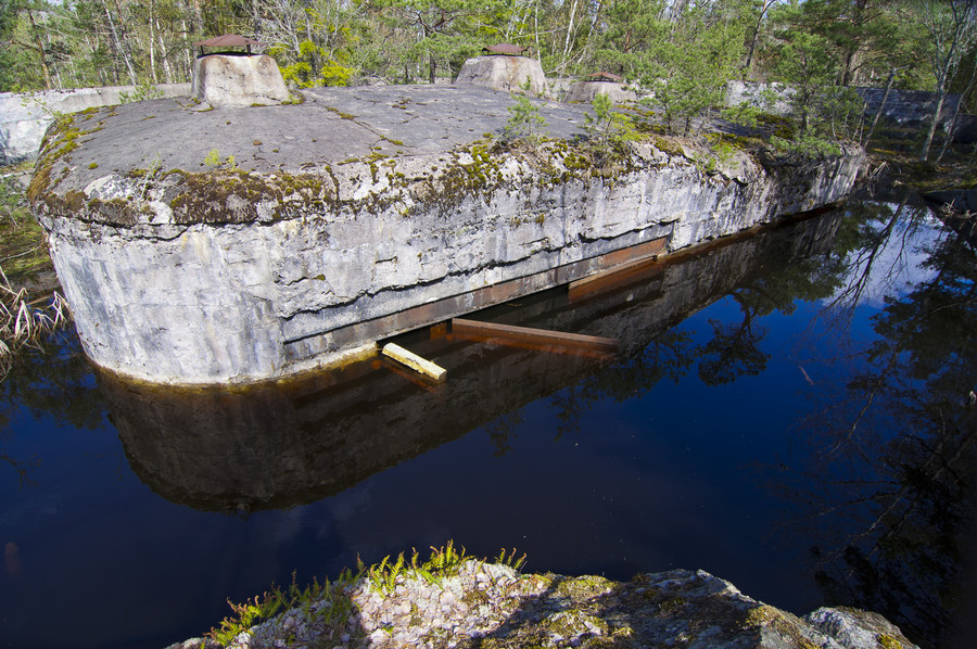
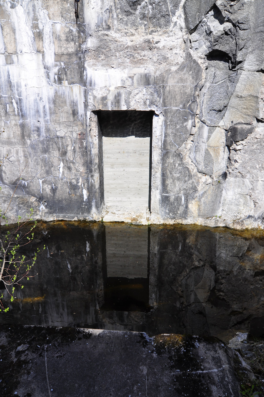
It’s no hidden secret, but since it wasn’t on my phone it was a great present of luck. Basically, the bunker is entirely underwater. I’m not sure what this officially is, but the gps coordinates are 59.4056316, 18.4456651.
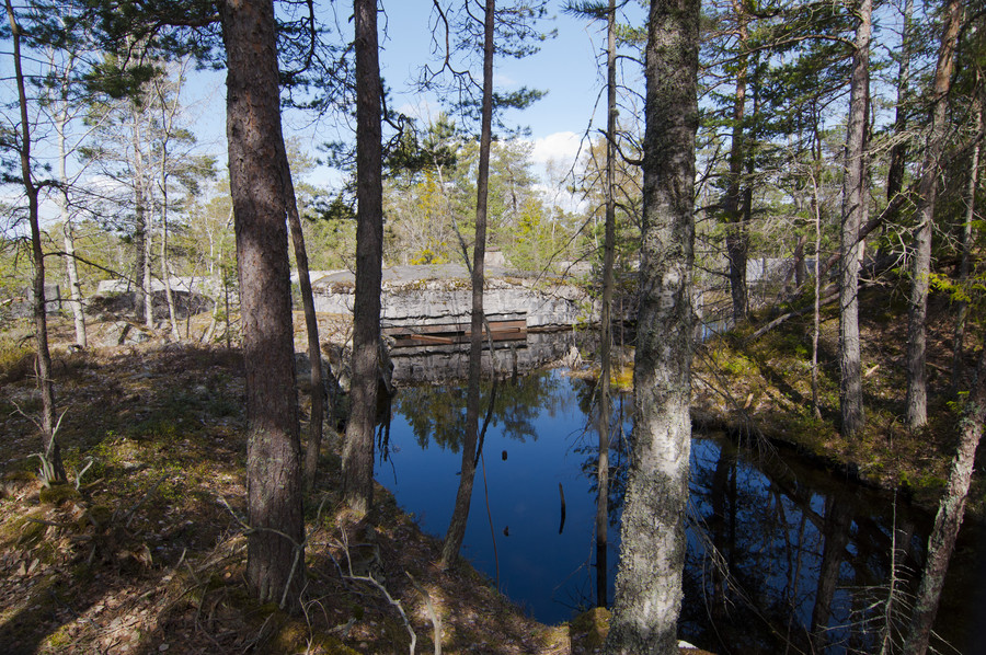
You can see the top of the big heavy doors, which give an indication how deep this pool is. Those doors are probably 8 feet tall, and was the only bunker I found all day that wasn’t welded shut (damn gub’mint). Really just an awesome thing to find. Coordinates are here: 59.4056316, 18.4456651.
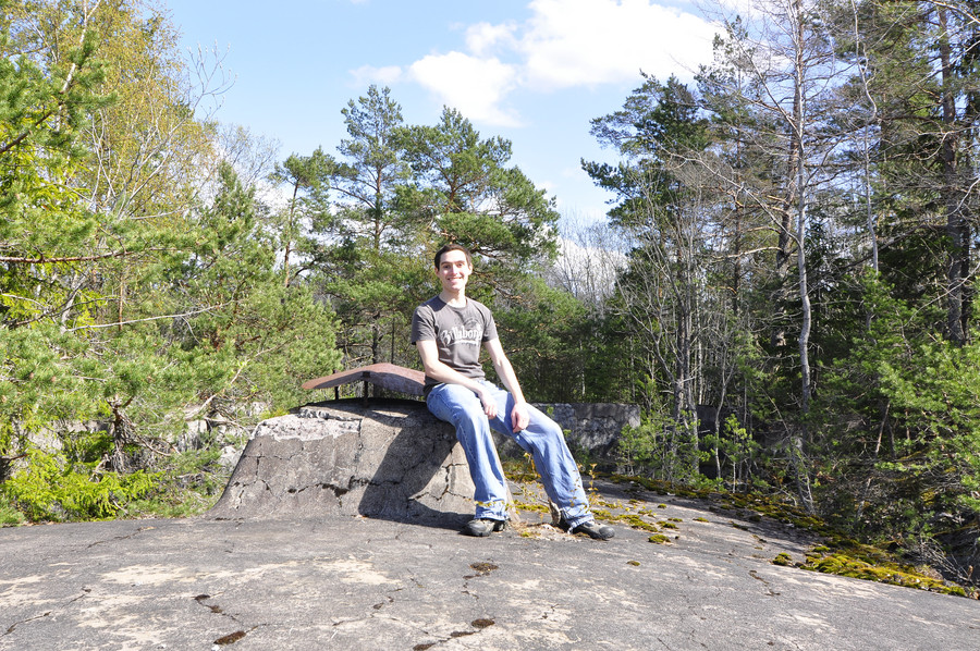
Obligatory picture proof of my existence at this location.
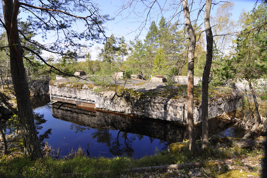
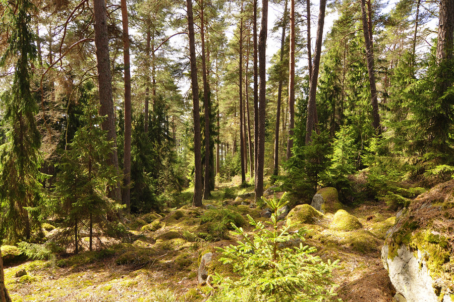
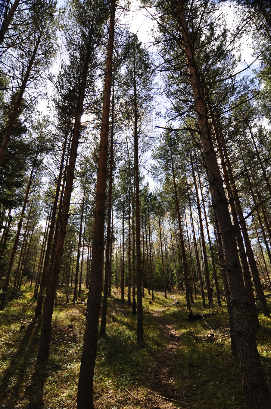
Trees
Ok now we’re at Vretafortet (5:e batteriet), with GPS coordinates 59.4047959, 18.4530732.
This is the biggest fort on Myttinge, and easily seen by satellite. It’s hard to convey the size without actually walking around it, but take my word it’s about the size of my highschool gym building.
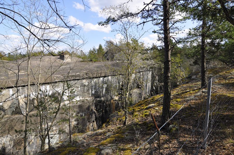
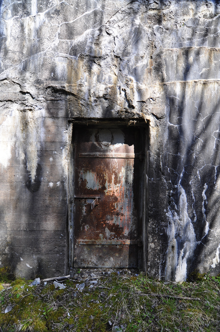
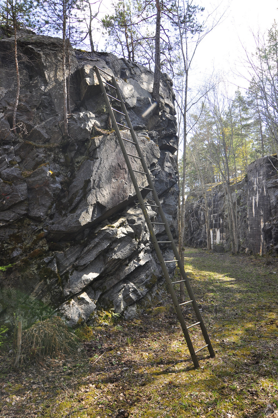
The roof is as high as the surrounding forest’s ground level, but it’s sunken into a huge pit. There are what I imagine to be storerooms carved into the outer walls as seen below.
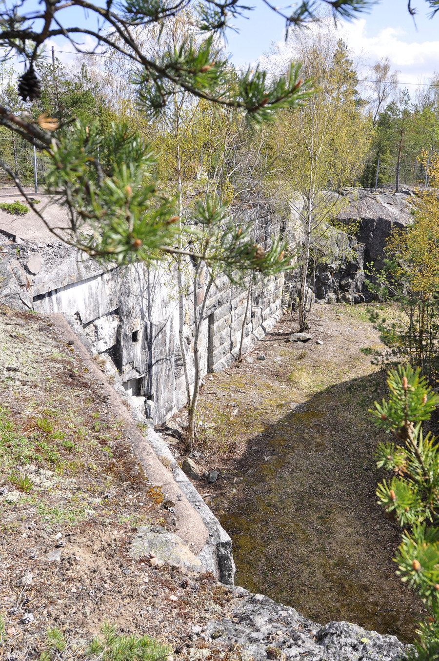
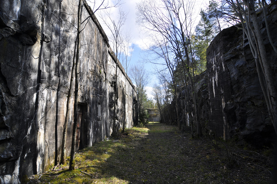
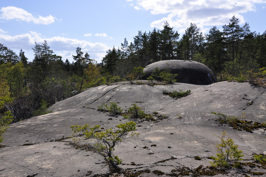
Then there was this friendly ladder leaning conspicuously against the side in the very back. It really wasn’t hard getting up; I left my backpack on the ground though and put my camera around my neck. At the top rung it’s difficult because it’s basically just steep smooth rock about as long as your body, which you have to drag yourself up before it plateaus.
Epic
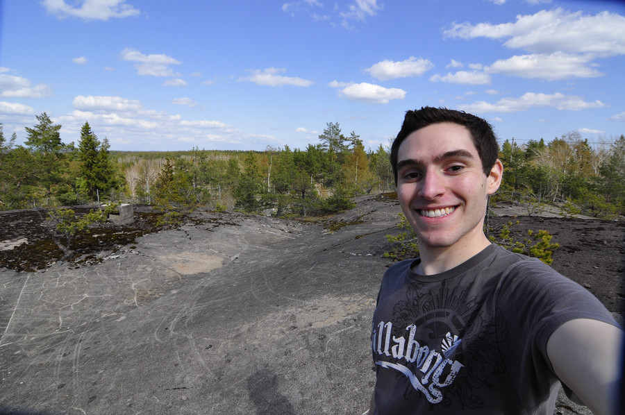
After that, I walked out down the path leading from the main entrance. There was an abandoned building and shed.
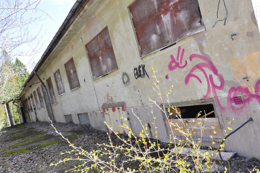
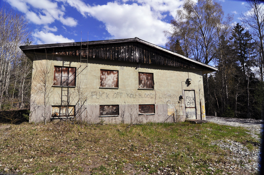
Cue number two for things I desperately want to explore if not for being too scared to do so by myself. Here was my best effort, which I got by video. For some reason shooting the video makes it less scary, I think because you have to concentrate on the screen and it’s distracting. Taking pictures would require me to stand still for seconds in the dark bracing the camera against something; no thanks. Btw, 59.403858, 18.453324.
There was some hatch nearby which was sadly filled with water.
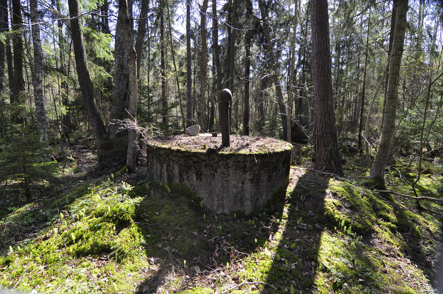
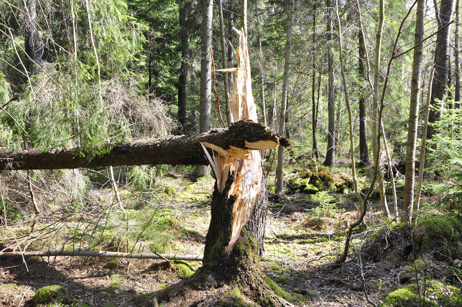
This was quite peculiar… an otherwise healthy tree just seemed to have fallen over for no reason. The main purpose of inserting this picture here is to convey the passage of time. I was walking…
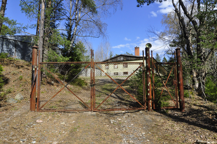
… to a rusted gate. All of these sites seemed to have the same type of gate, and there was something about it I liked. Maybe because there was no fence around it, it’s just like a doorway to someplace forgotten. I’m really tired and just rambling now.
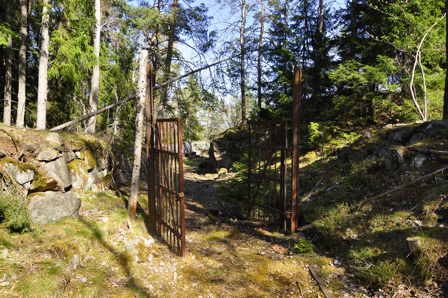
Behind the gate lies 4:e batteriet, with GPS coordinates 59.4055426, 18.4549634.
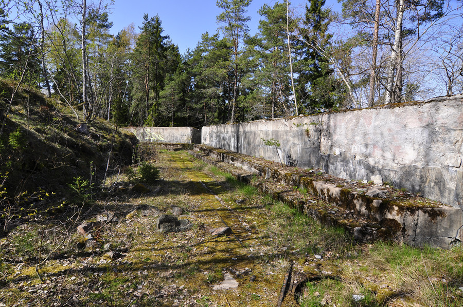
Me standing where a cannon probably once did.
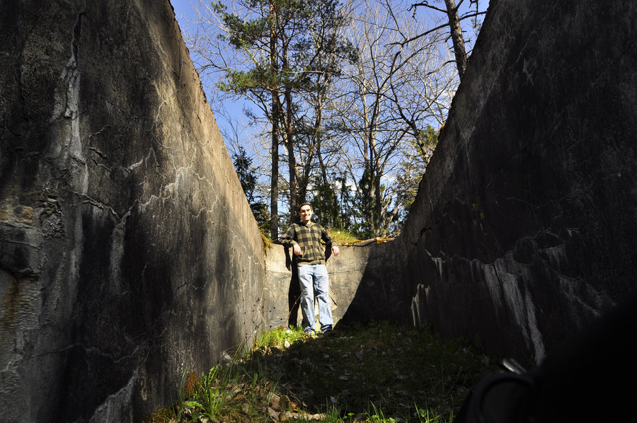
Why did the government have to cement everything closed 🙁
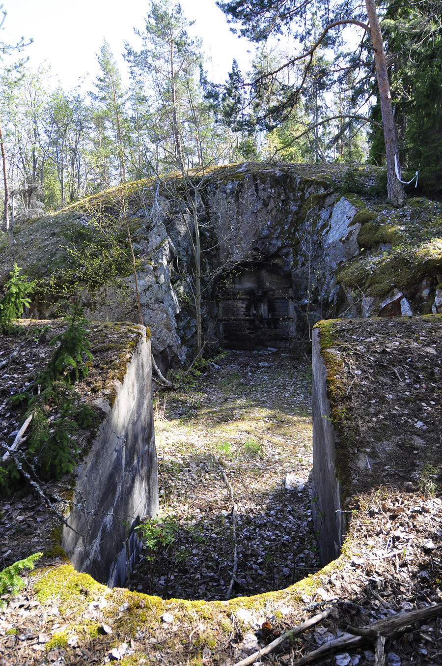
This one turned out quite colorful, SFTC.
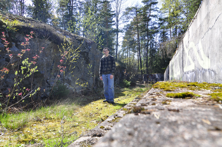
I just love those gates. I posed in front of every gate at every place.
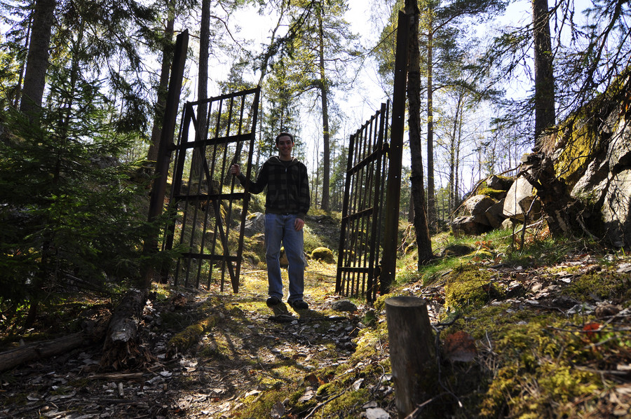
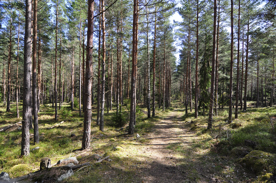
Another one of those “oh ya so I was walking through the forest..”
This one was stupid. GPS coordinates 59.3992813, 18.4595545, it’s nothing but this single wall that’s surrounded by a large box of razor wire chain link fence… that is left wide open. Like I really didn’t understand this one at all, boring.
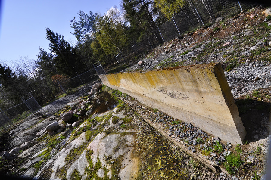
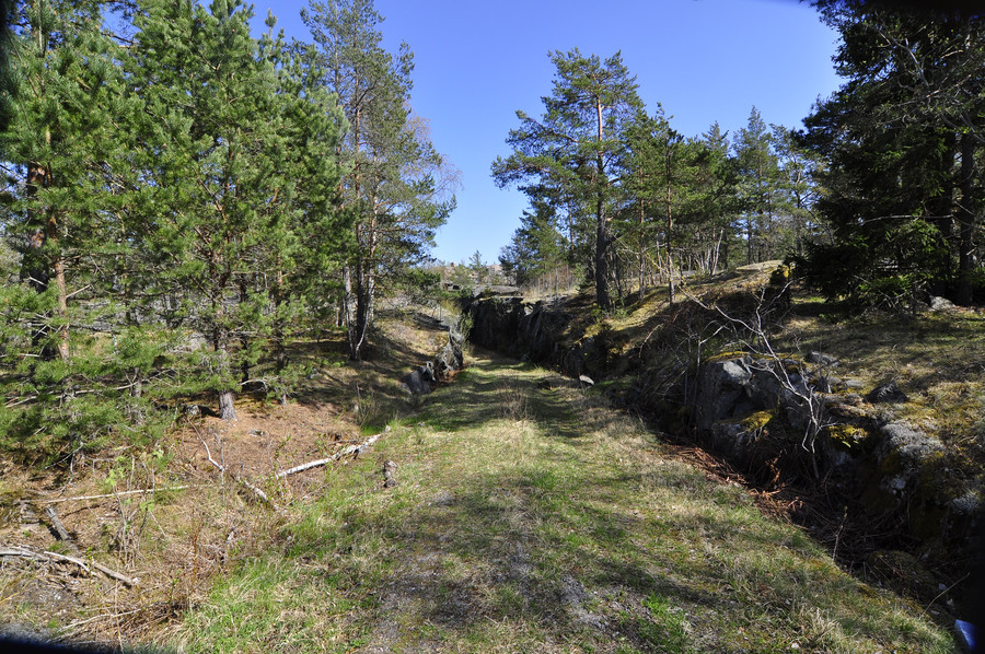
But right nearby was the obvious sign of a pathway to a bunker, and it turned out to be a rather large one.
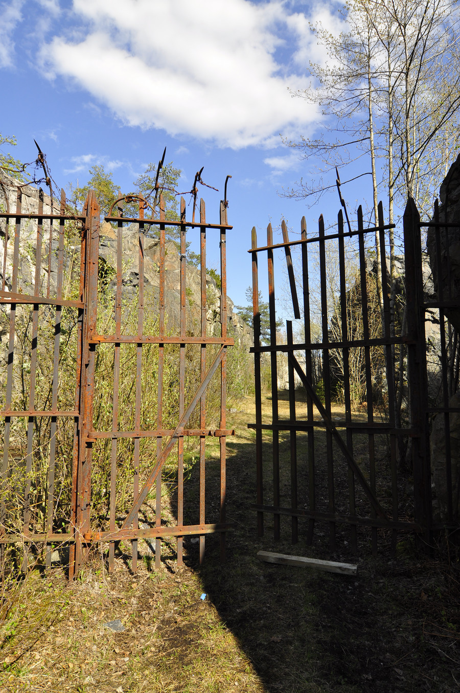
These were the best gates I found all day.
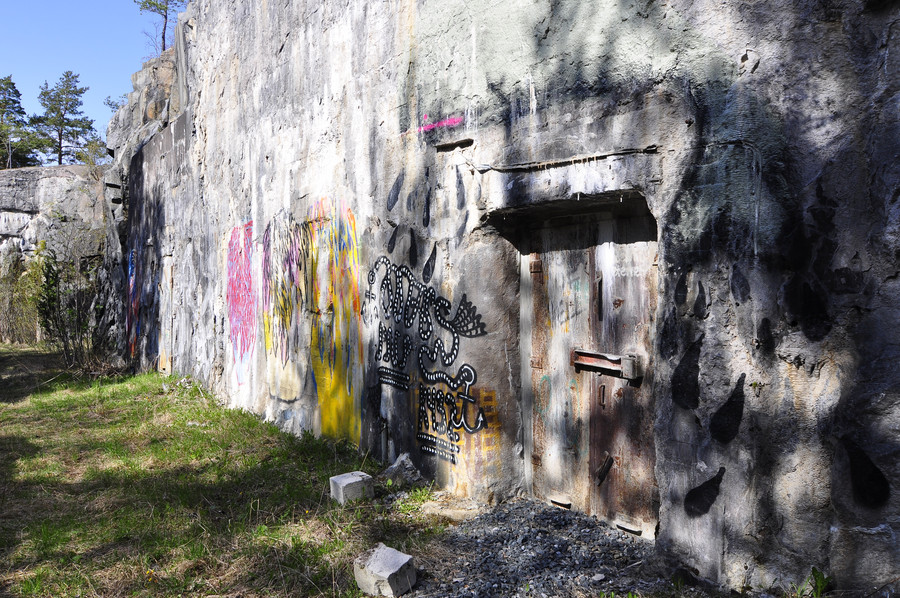
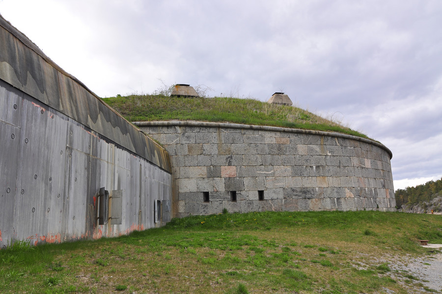
This is Myttingefortet (3:e batteriet), GPS of entrance pathway 59.3990923, 18.4601206. This is about as big or possibly bigger than the other fort I climbed onto the roof of.
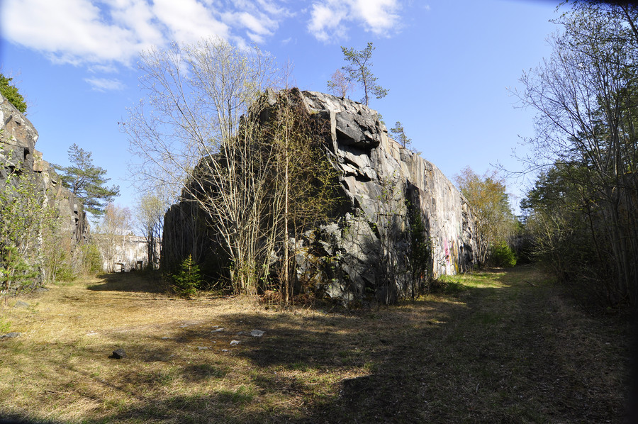
This was the only one to have some graffiti on the side. I’m sure a lot of people would find it defacing, but I feel it adds character.
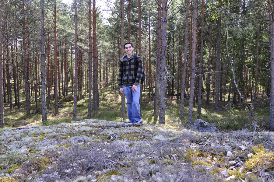
And then I was like standing and there were like these trees and stuff.
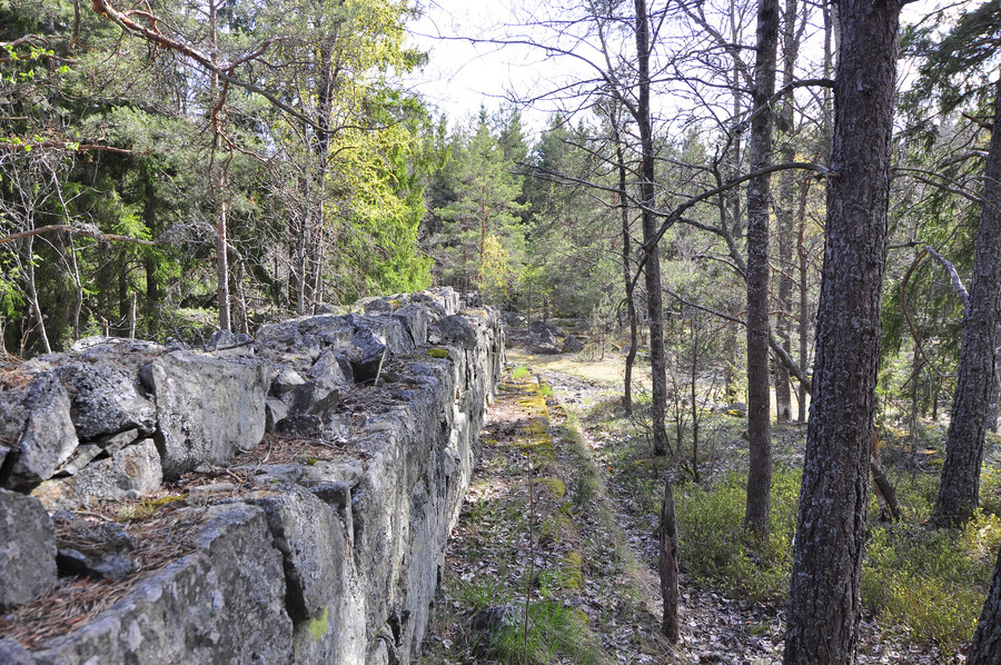
Random wall along the trail. GPS Coordinates 59.3963912, 18.4642322.
Also a delicious gate, that really does go to nowhere. There is no fort or anything so idk what that thing is thinking being there.
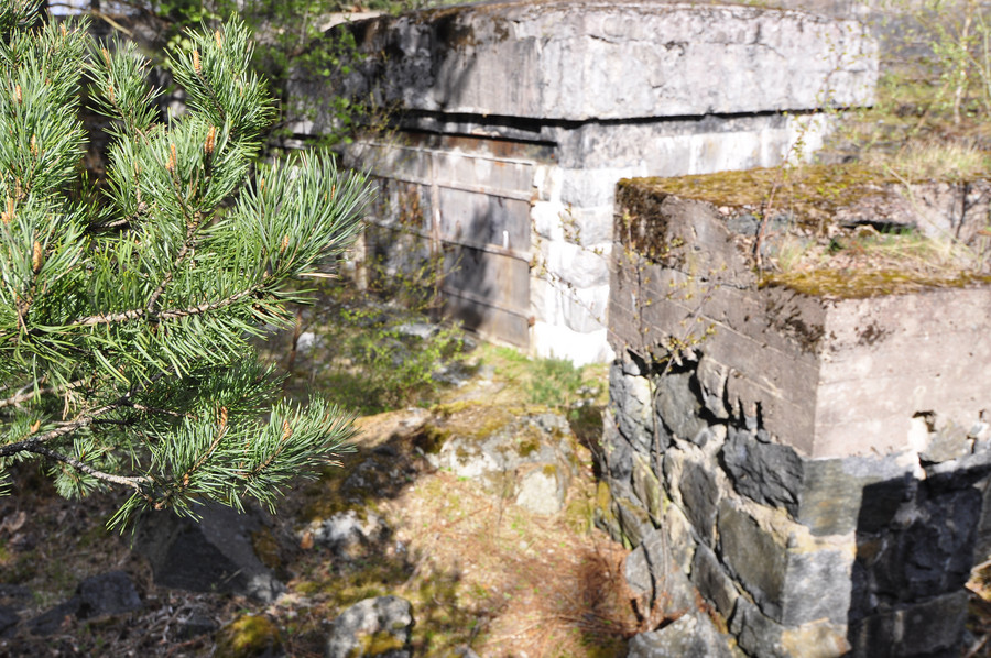
Here is 2:a batteriet (or is it supposed to be 2:e?), GPS coordinates 59.395582, 18.464651:
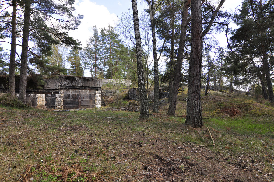
I think it’s a beautiful mix of nature and decay.
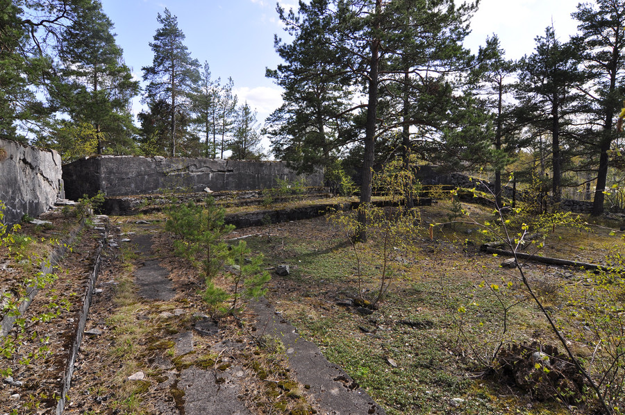
This was my singular attempt at taking a photo whose composition was preconceived with a tinge of effort. Enough of that now.
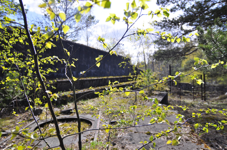
Okok my eyes don’t focus exactly like that… but I was honestly getting bored at this point. These things were fun at first, but by the 10th one it was just not exciting anymore. Actually, the one thing I remembered about this location was that it was next to a car road, and I subsequently saw the first humans walking in over 5 hours. It really pissed me off that these people think they can just walk in the forest wherever they want and disrupt my solitude.
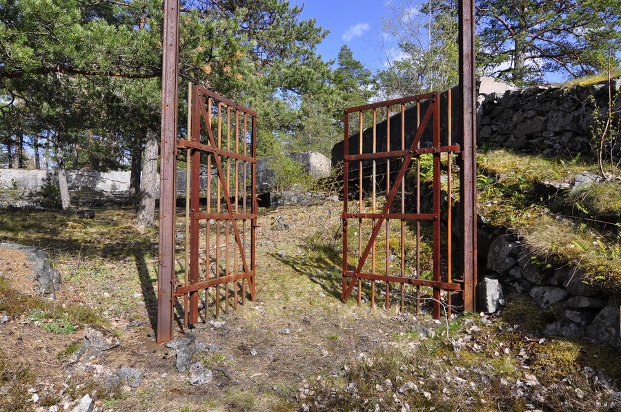
Oh yes this one had another gate of course, I had to post it but saved you from the version with me in it.
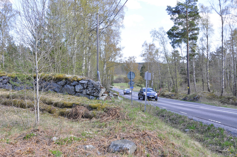
Cars to remind me I’m not anyplace exciting.
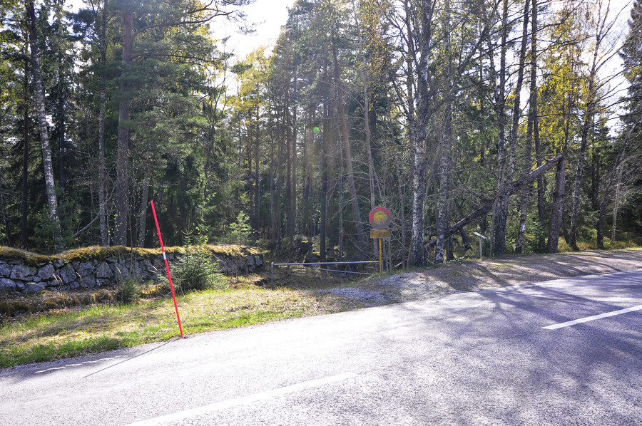
And the path continued on the other side of the road. OH ya, so about this path I’m walking on. Originally my plan was to just hike straight through the forest to each pushpin on my map by way the crow flies, and that suited me well in the beginning because I magically stumbled upon that underwater place that wasn’t on my map. However, I came to realize that all of these places were connected by an unpaved path through the forest that wasn’t on google or any other maps.
It took the fun out of my adventure because I wasn’t really being adventurous anymore, just walking down some road instead of plowing through the forest trying to find things. But like I said I was bored and my feet were killing me, and by this point it was merely a mission to collect gps coordinates so I could declare “been there done that” and strike this place off my list without feeling like I regretfully missed anything.
This is rather interesting, it’s looking down the inside of a tree trunk. It sort of reminded me of that monster that ate jabba the hut.
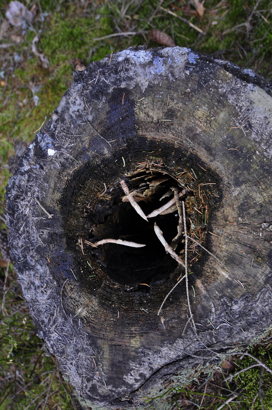
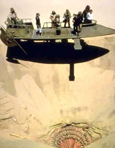
yes thank you wikipedia, this thing
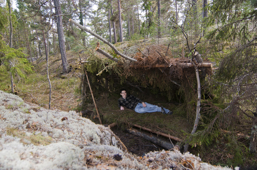
Ok this was epic, I found this bed made of pine branches in the middle of nowhere. Like the wilderness survival merit badge on steroids… I never got that merit badge, fuck boyscouts. 🙂
Anywho somebody definitely slept here, there was fresh firewood next to it. GPS coordinates of this top class destination A++ would go again are 59.3925211, 18.4604321.
Here’s the last place of interest on Myttinge, 1:a batteriet with GPS coordinates 59.3920078, 18.4601853.
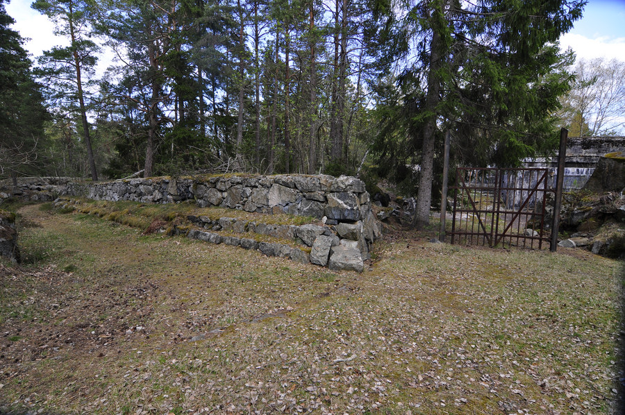
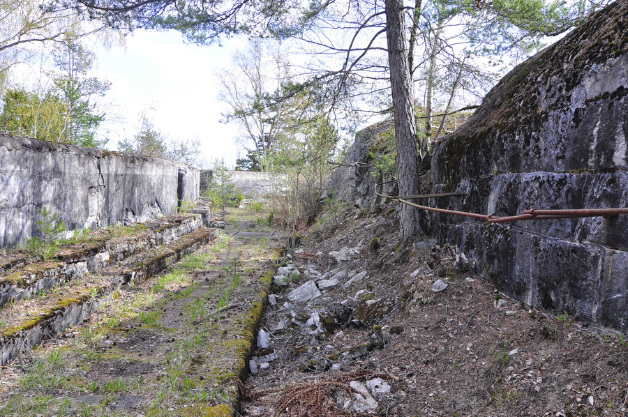
Yes I really don’t have anything to say, like I said I was just aching everywhere and merely documenting at this point.
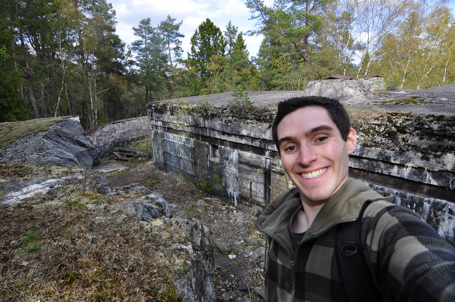
Won’t stop me from forcing out a smile though.
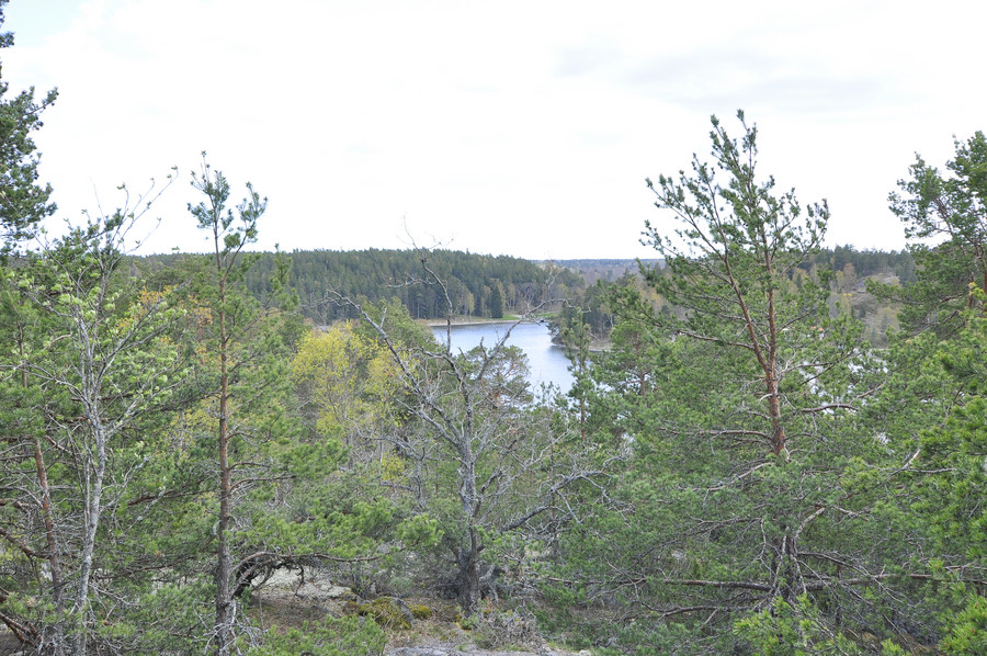
This picture is way too bright. I could have easily fixed it, but who cares. At this lookout point I actually sat down and plotted my return journey. I already had multiple possible routes home written down but I invented a third way which ended up totally not fucking working at all, but anywho I decided to forego the 2 hour direct bus from Myttinge in lui of taking the ferry back, because I decided the ferry was enjoyable enough to experience twice.
Walking back to civilization.
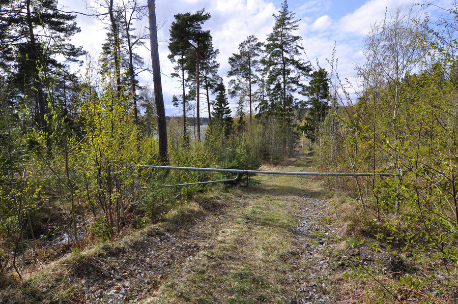
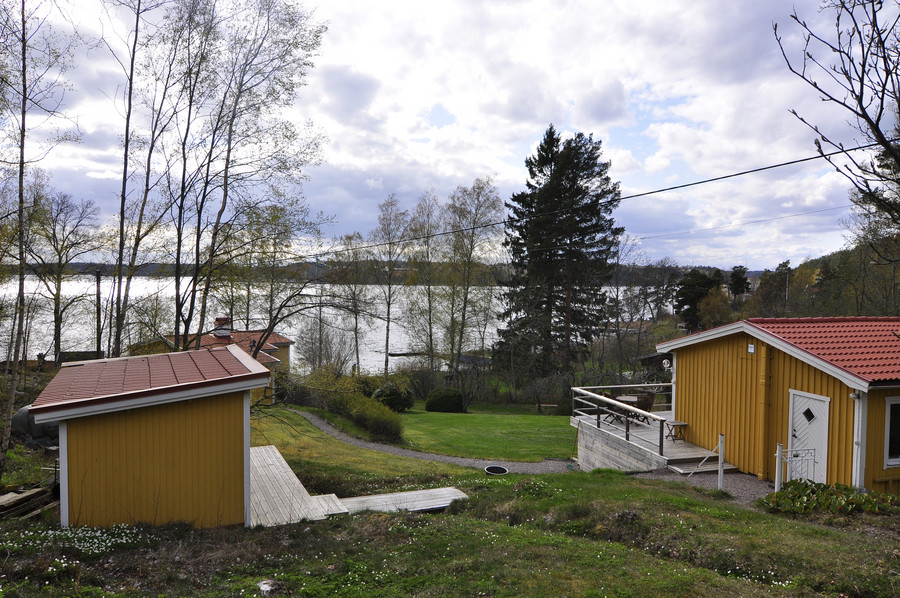
Not as good as Rindö, but still a lovely place to have a summer house.
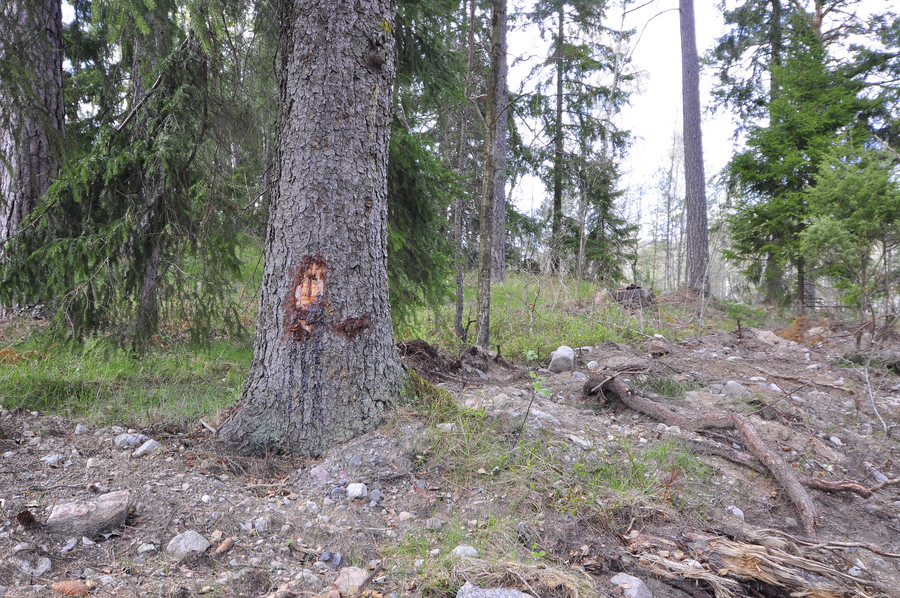
I might be crazy but I thought this looked like Jesus. Hopefully some fundie will try to buy this picture from me.
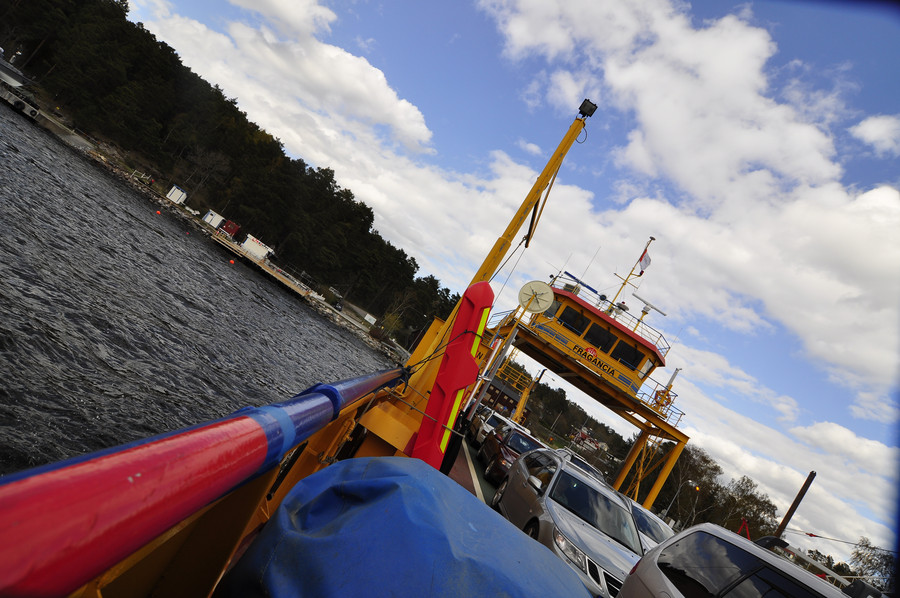
Taking the Fragancia back to Rindö. Yes, the Fragancia. fraggggggggggggggAncciiiiiiiiiiiaaaaaaaaaaaaaaaaaaaaa
If you remember from like a hundred pictures ago (lolol), this was that round thing but now I’m on the other side of the river.
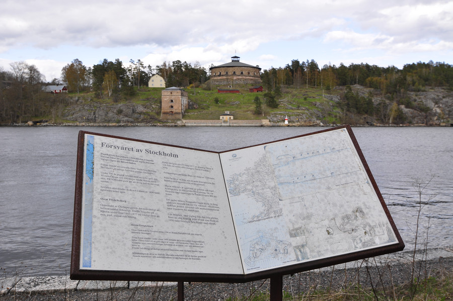
Some cannons and stuff. Ya I’m really giving up on the story telling because like my journey to Myttinge, I’m burning out here at the end. Way too many damn pictures to caption.
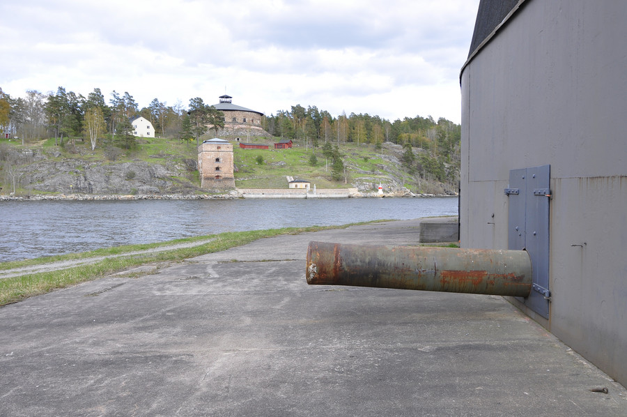
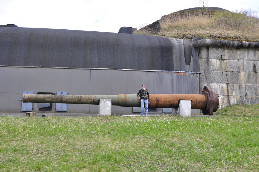
Yes that an impressive distance to cover 🙂
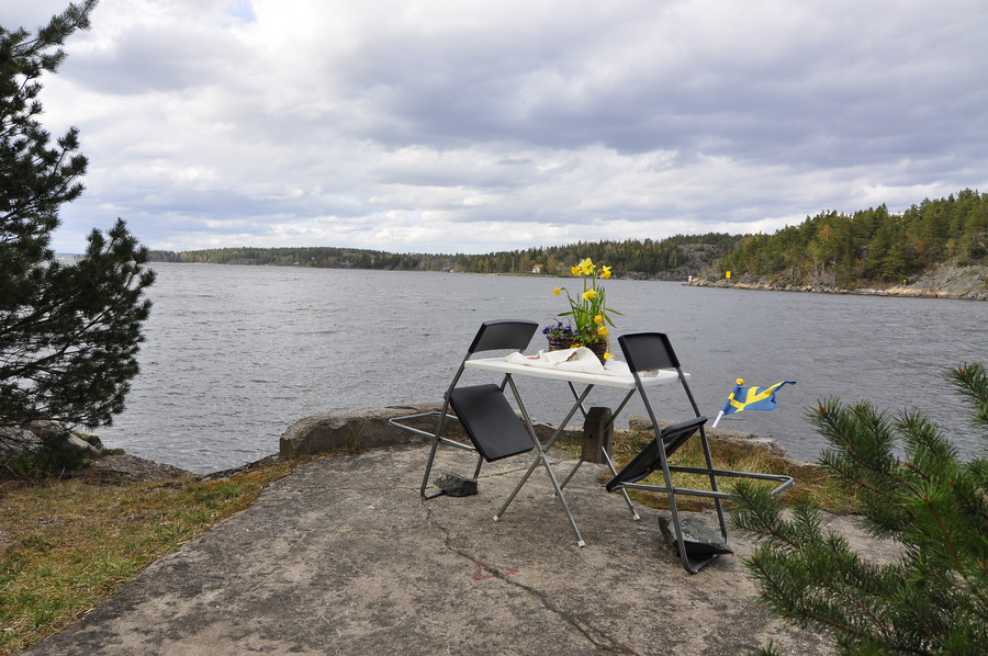
Ok so it turns out that Rindö has its own bunkers that I only planned to go to if I had some extra time, and it turns out I had some extra time before the last boat from Vegabryggen.
This is Byviksfortet (8:e batteriet), with GPS coordinates 59.3999540, 18.4279400:
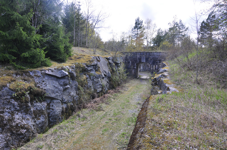
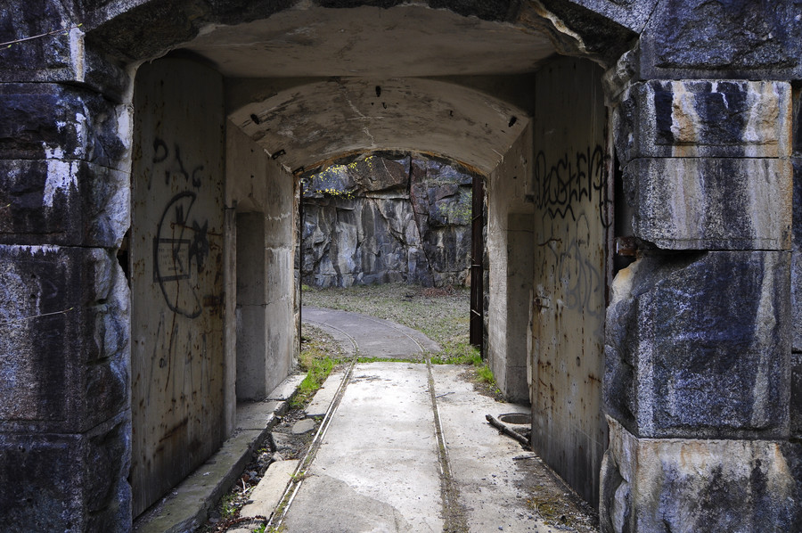
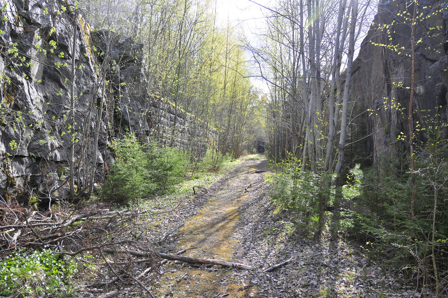
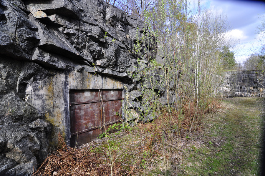
And nearby was a soccer field. I’m just going to classify this as abandoned so I can add it to my list of explored abandoned places. Don’t laugh at me. GPS coordinates are oh fuck it it’s just right across the street.
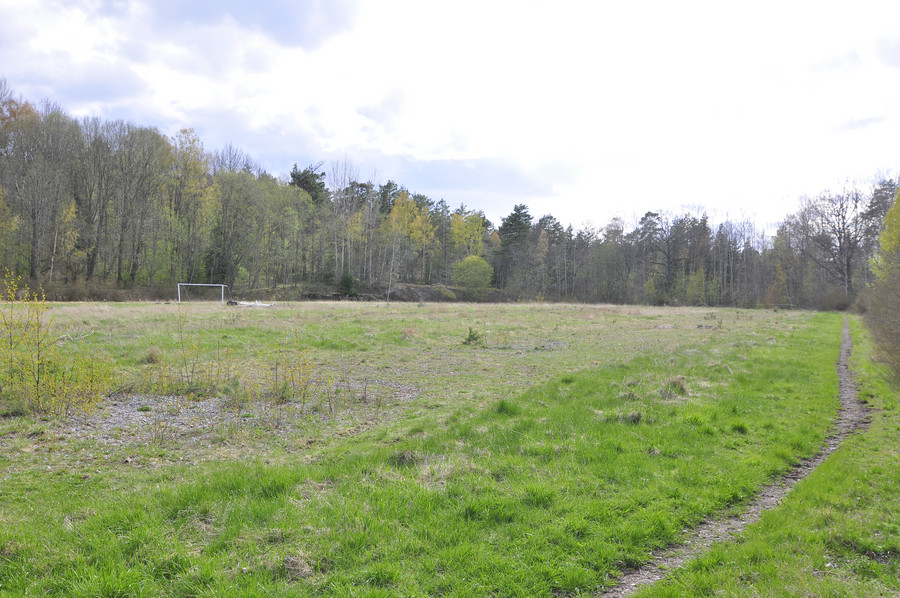
Straight from the fucking camera
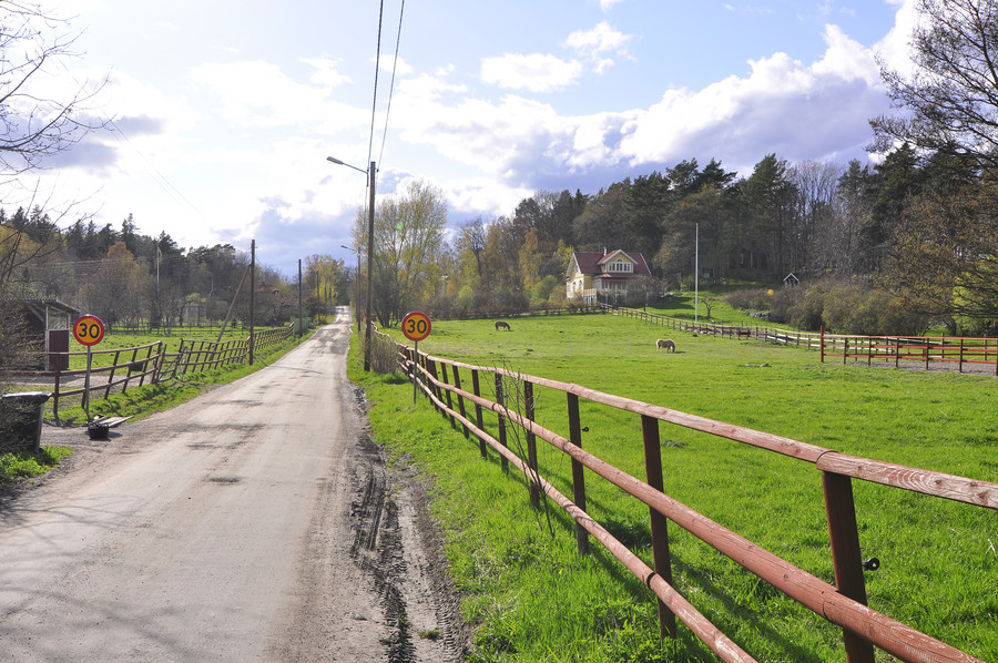
Life seems tranquil here.
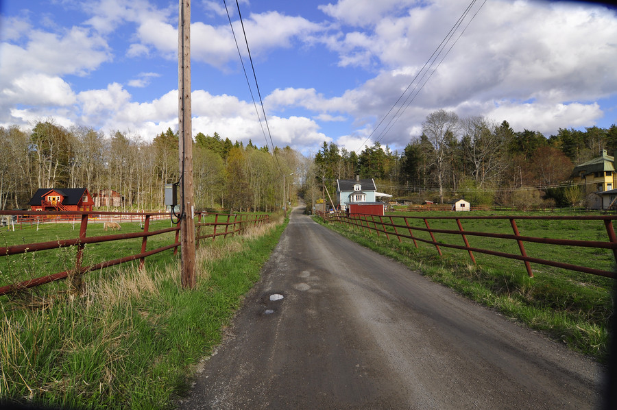
Here we have the prime embodiment of my imagination of Swedish life. SFTC.
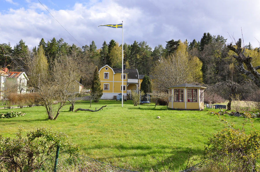
My feet were dying here and I honestly wish that red bus took this road instead of the other one, because I would have actually used it.
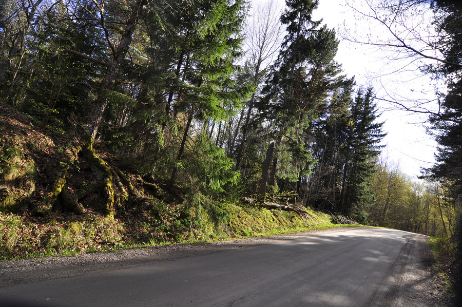
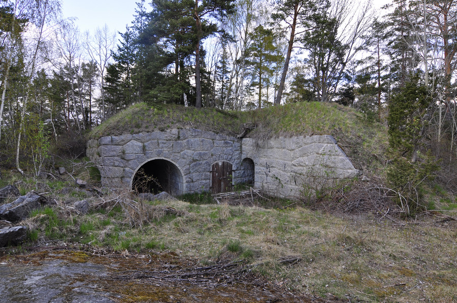
Ok this is once and for all the last military location today, 11:e batteriet with GPS coordinates 59.3990249, 18.3965497.
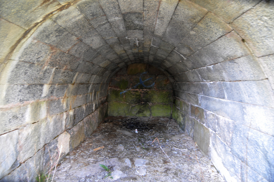
Cough massive fraud going on here… source photo was dark and crap.
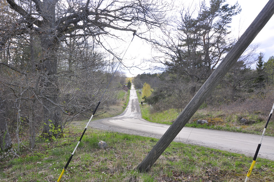
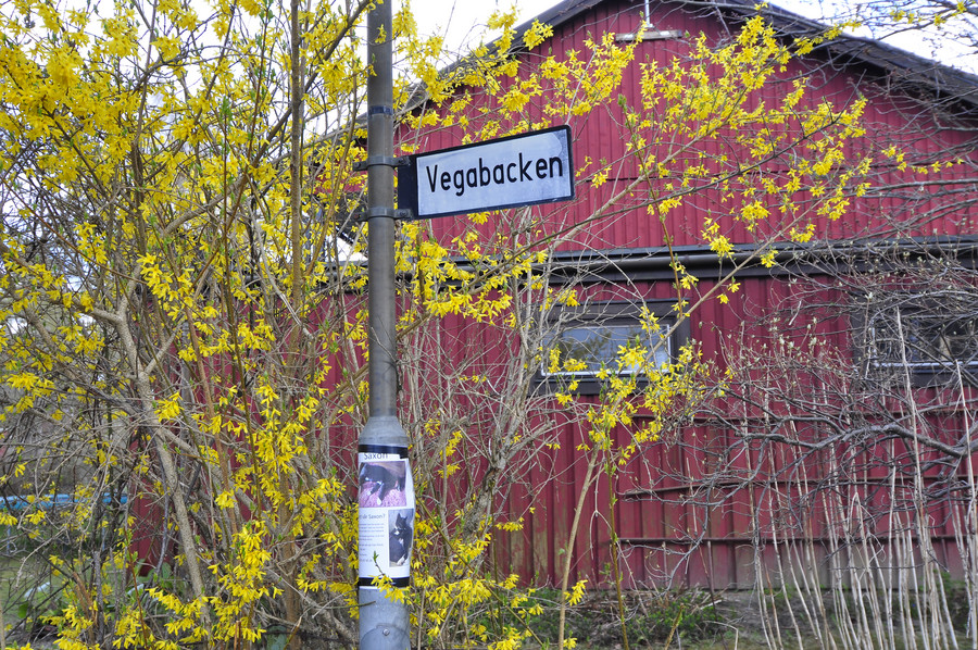
Vegabacken, the road to Vegabryggan
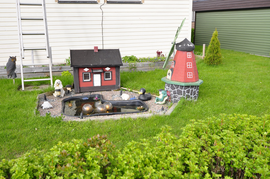
And here we are, right where the day started.
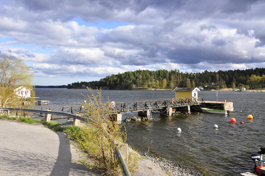
I really was this happy and felt totally accomplished at this point. That is until I watched my vote sail on by down the river without stopping, when I thought it was the last boat out of there.
Turns out I had the schedule for the wrong day by accident. I really felt lost for a moment, I thought I was stuck. This was my preconceived trip planning for coming home:
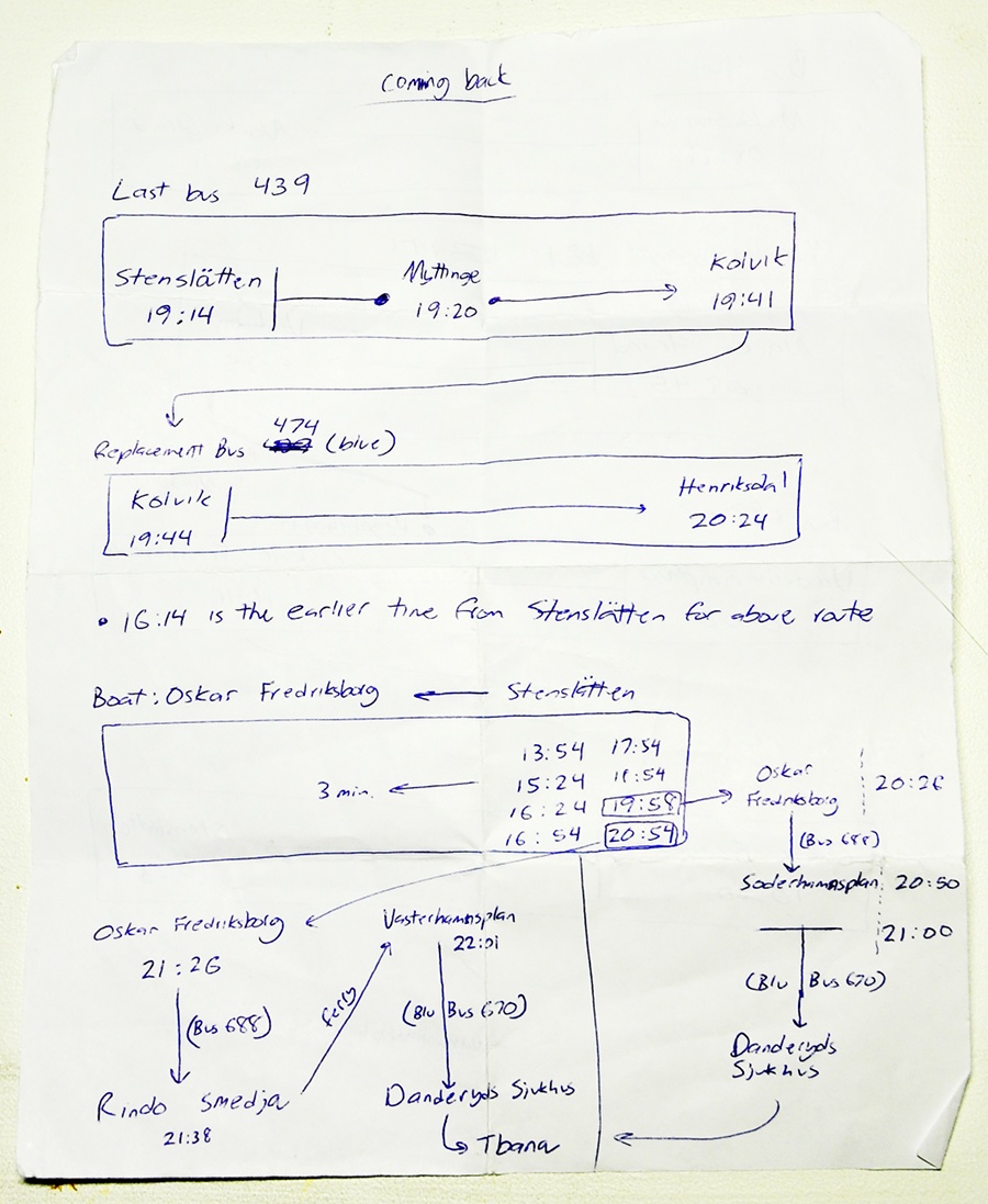
I highly recommend you write down multiple ways of getting home before you leave for exploring, because this has saved me many times before. I knew I would be stuck on the GPS/internet all day with my phone so it was especially important I have a paper version in case I run out of battery. Anyway just my tip.
I decided to walk across Rindö (remember Vegabryggan is in the middle) to the other side that’s closest to Vaxholm, hoping that there would be some other ferry I could take.
Remember that’s the same castle as seen from the boat approaching Vaxholm.
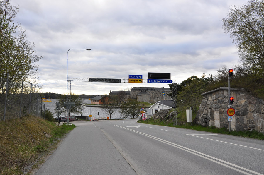
To my delight it turns out the same type of car ferry goes inbtetween this side of Rindö and Vaxholm, just like the one from the other side to Myttinge. Nina saved the say.
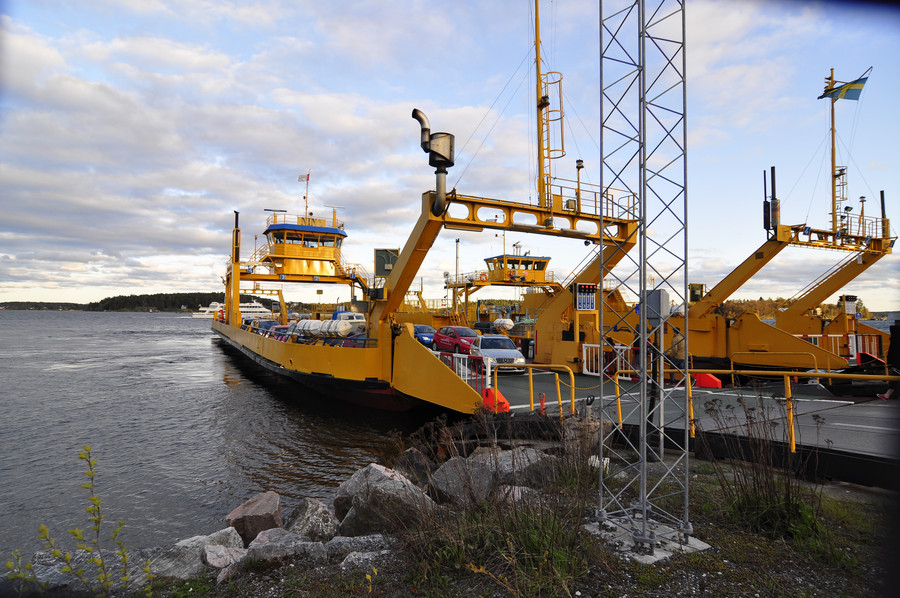
These ferries aren’t documented on SL’s trip planner so you wouldn’t know about them until you saw one, so I was really relieved when I got to the other side of the island and realized I wasn’t stranded.
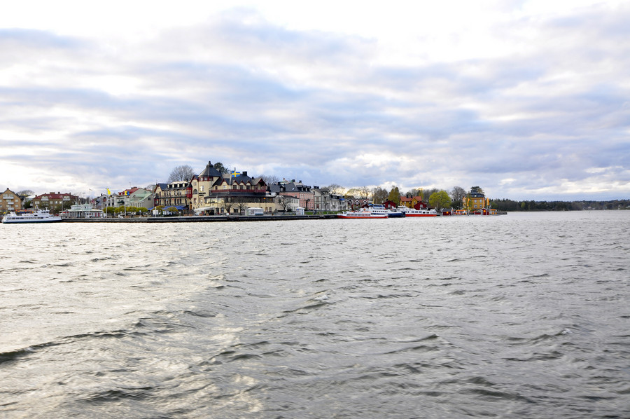
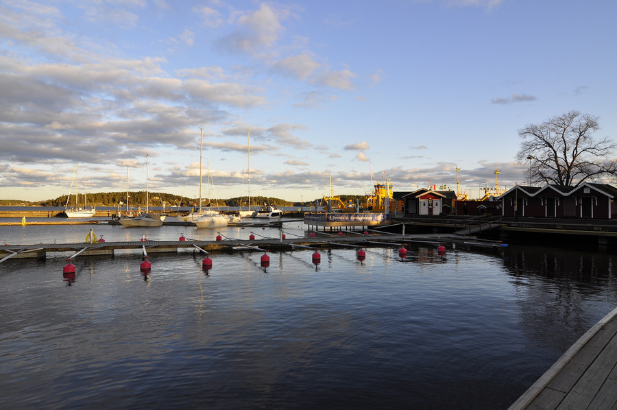
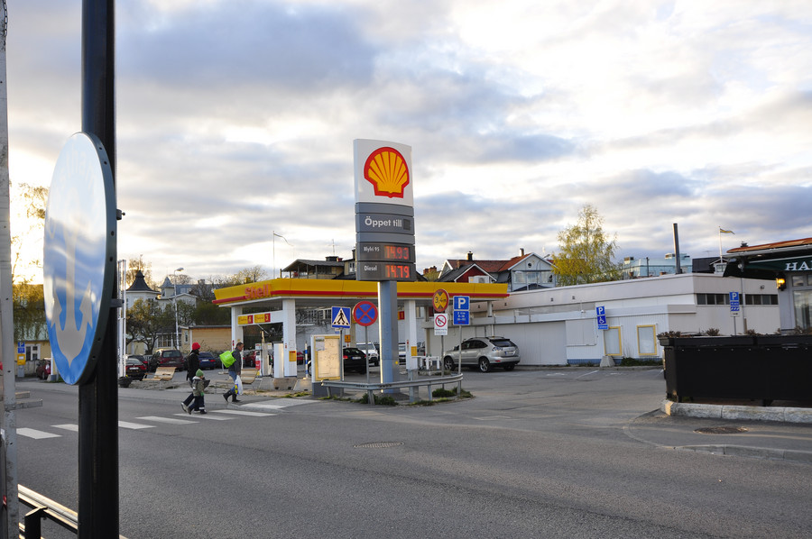
And to top it off, here we have a shell station serving SEK 14.93 per litre of gas. According to lol google, that’s OVER EIGHT DOLLARS PER GALLON. YA.
The end, hope you enjoyed the journey as much as I did (impossible, maybe try going next time loser).

