First post: Myttinge / Rindö Adventure in Stockholm County
If you remember from like a hundred pictures ago (lolol), this was that round thing but now I’m on the other side of the river.
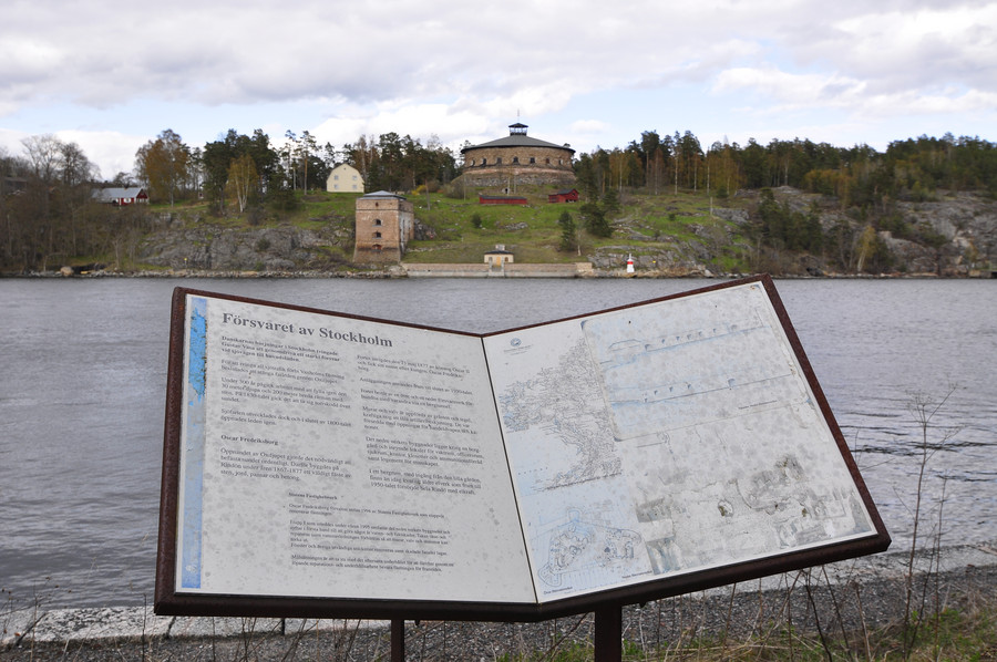
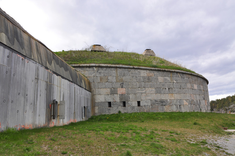
Some cannons and stuff. Ya I’m really giving up on the story telling because like my journey to Myttinge, I’m burning out here at the end. Way too many damn pictures to caption.
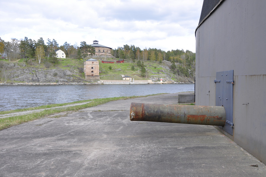
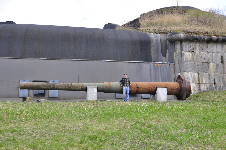
Yes that an impressive distance to cover 🙂
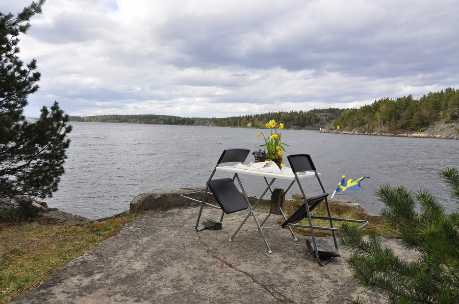
Ok so it turns out that Rindö has its own bunkers that I only planned to go to if I had some extra time, and it turns out I had some extra time before the last boat from Vegabryggen.
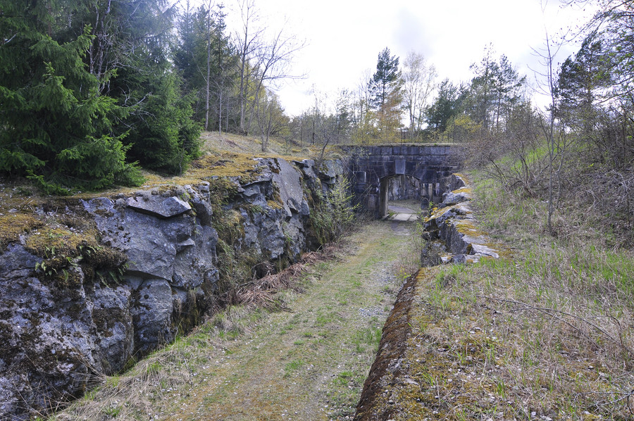
This is Byviksfortet (8:e batteriet), with GPS coordinates 59.3999540, 18.4279400:
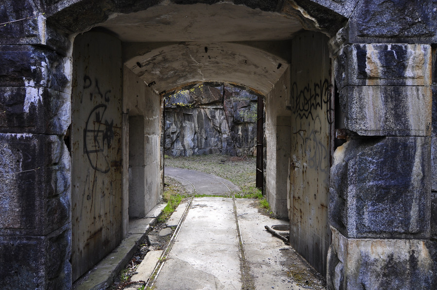
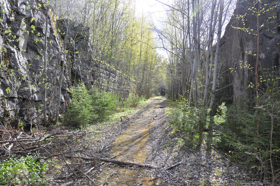
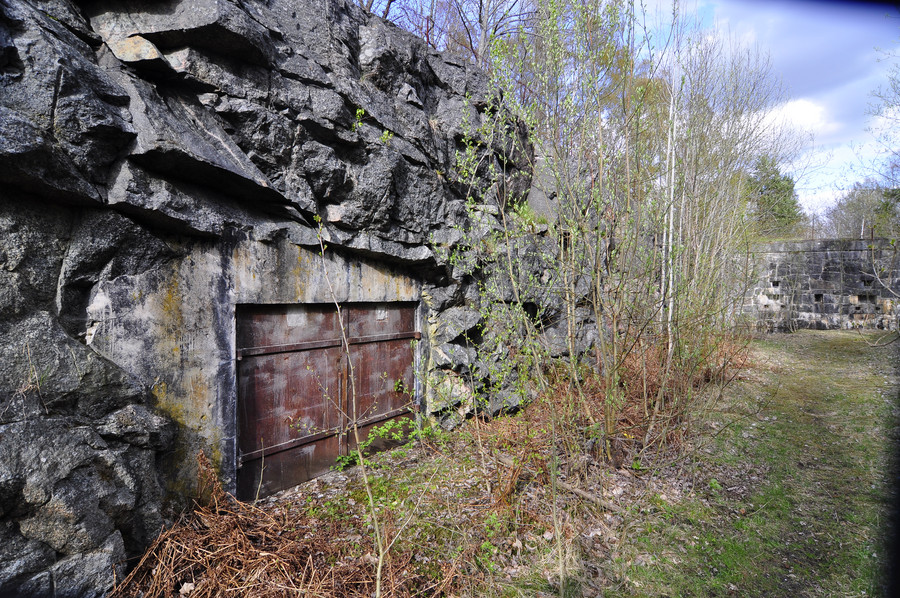
And nearby was a soccer field. I’m just going to classify this as abandoned so I can add it to my list of explored abandoned places. Don’t laugh at me. GPS coordinates are oh fuck it it’s just right across the street.
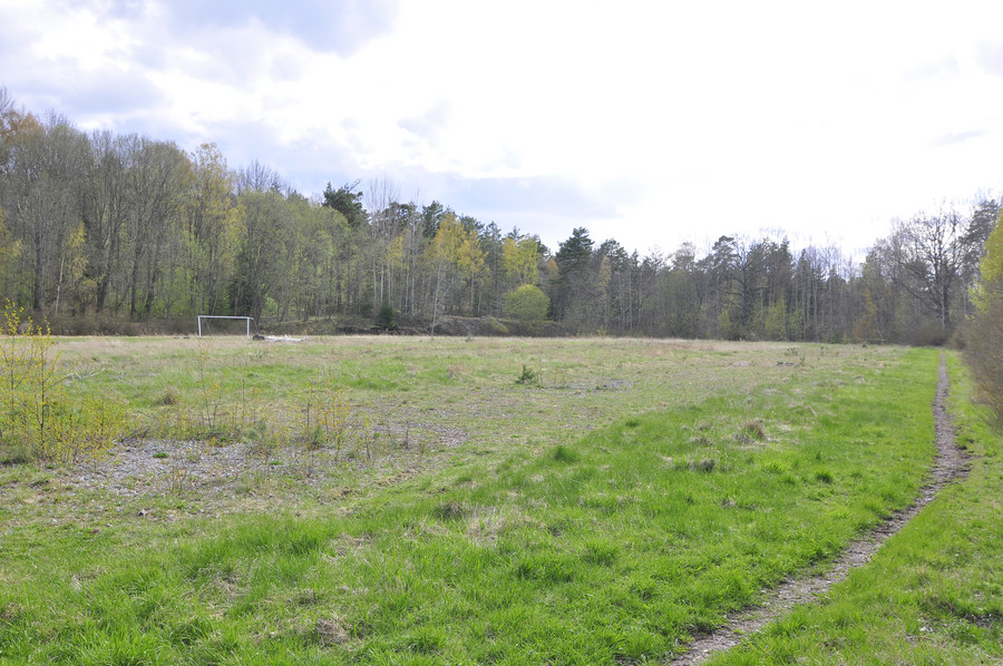
Straight from the fucking camera
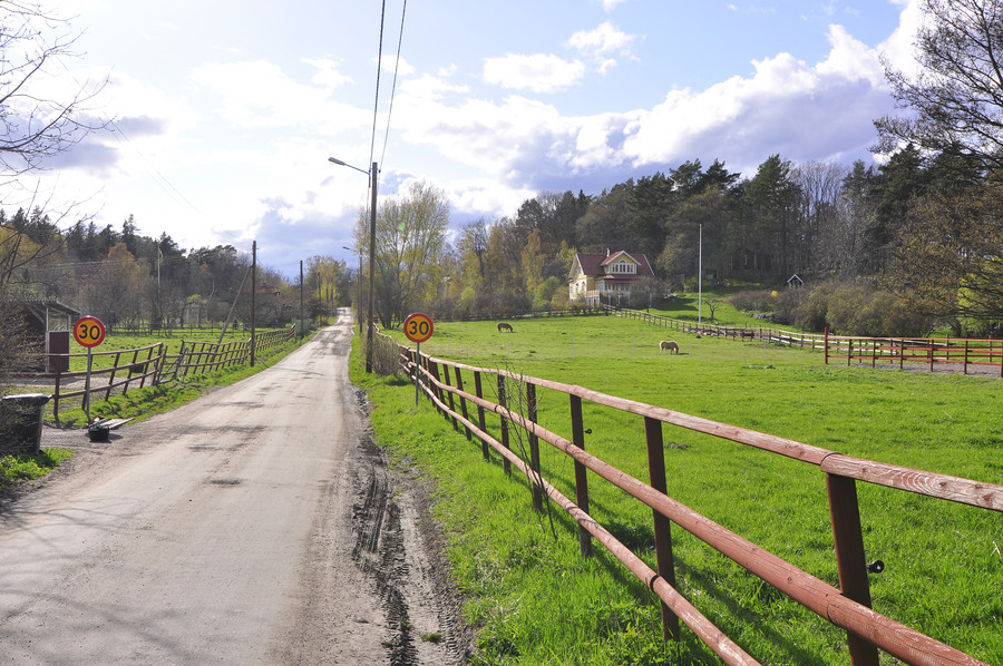
Life seems tranquil here.
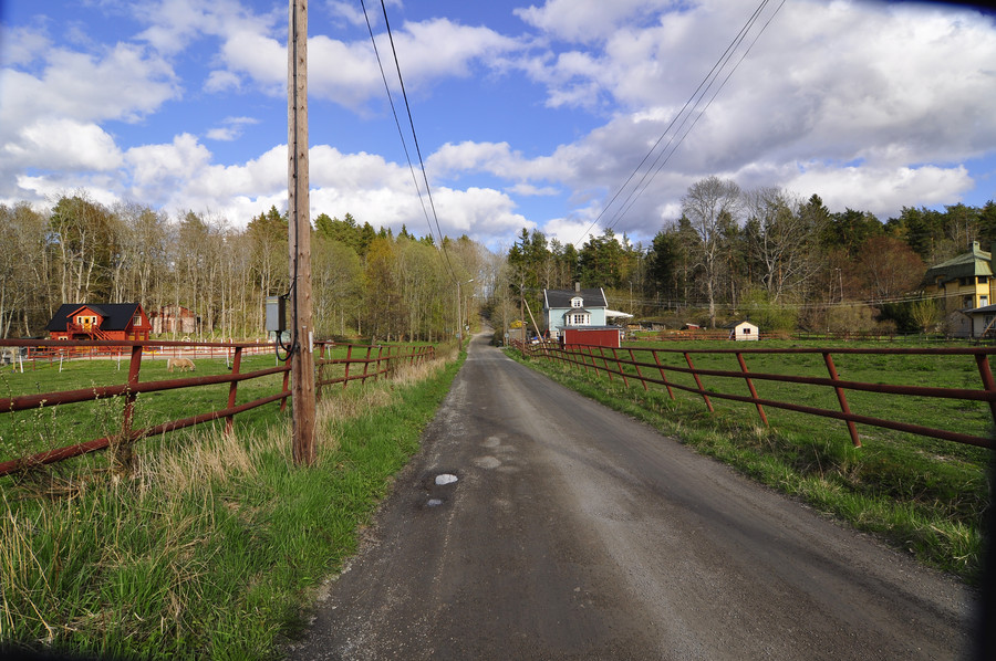
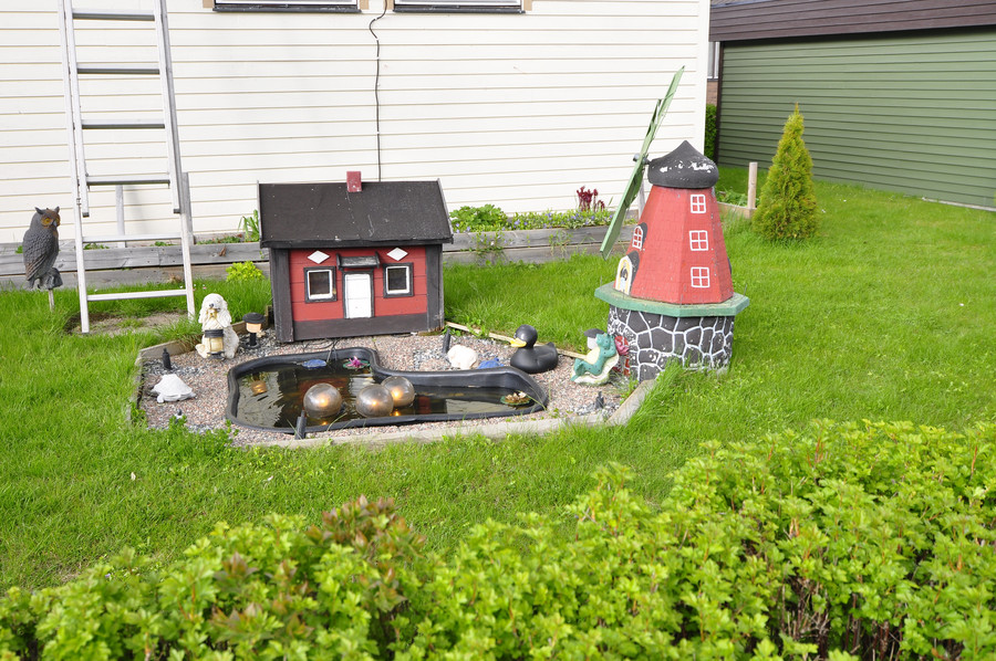
Here we have the prime embodiment of my imagination of Swedish life. SFTC.
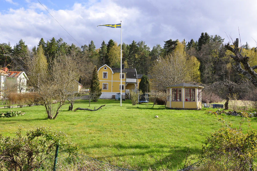
My feet were dying here and I honestly wish that red bus took this road instead of the other one, because I would have actually used it.
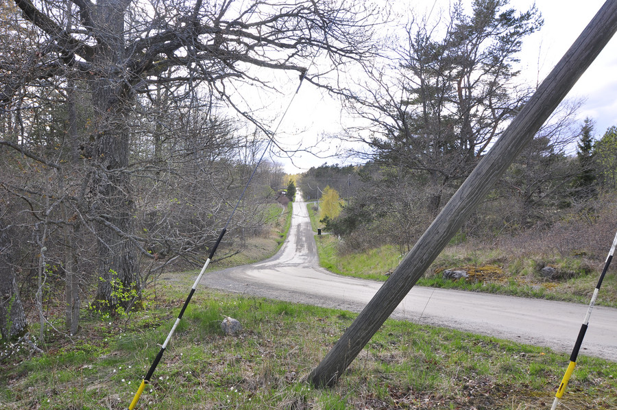
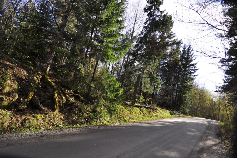
Ok this is once and for all the last military location today, 11:e batteriet with GPS coordinates 59.3990249, 18.3965497.
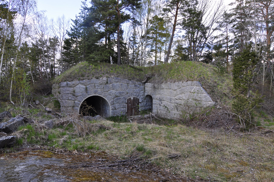
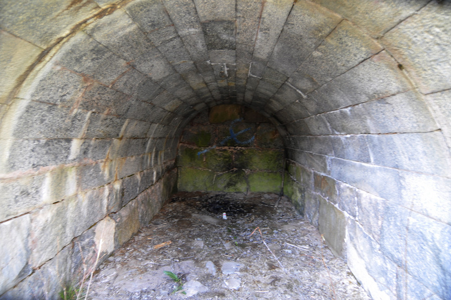
Cough massive fraud going on here… source photo was dark and crap.
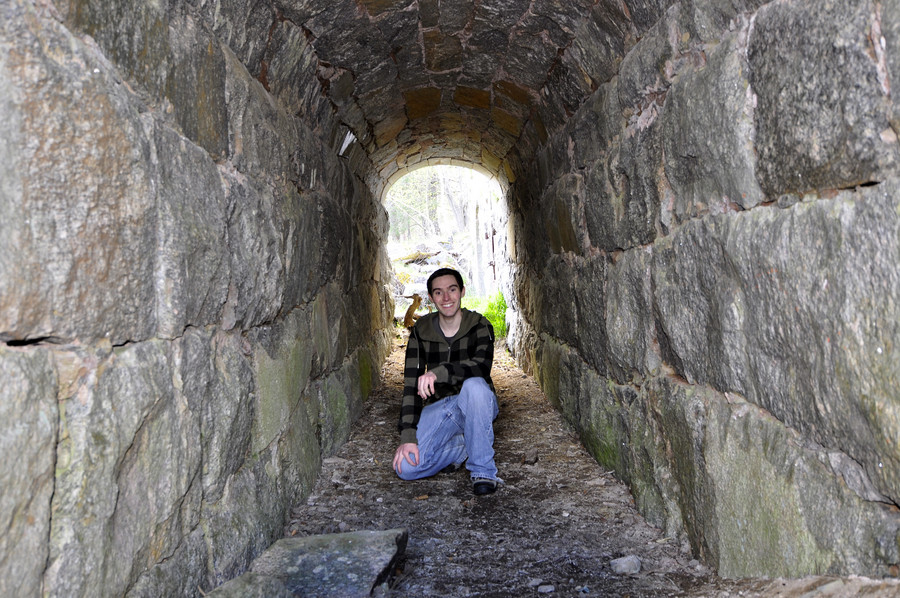
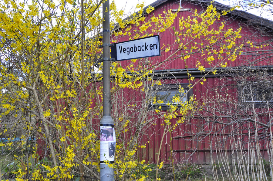
Vegabacken, the road to Vegabryggan
