First post: Myttinge / Rindö Adventure in Stockholm County
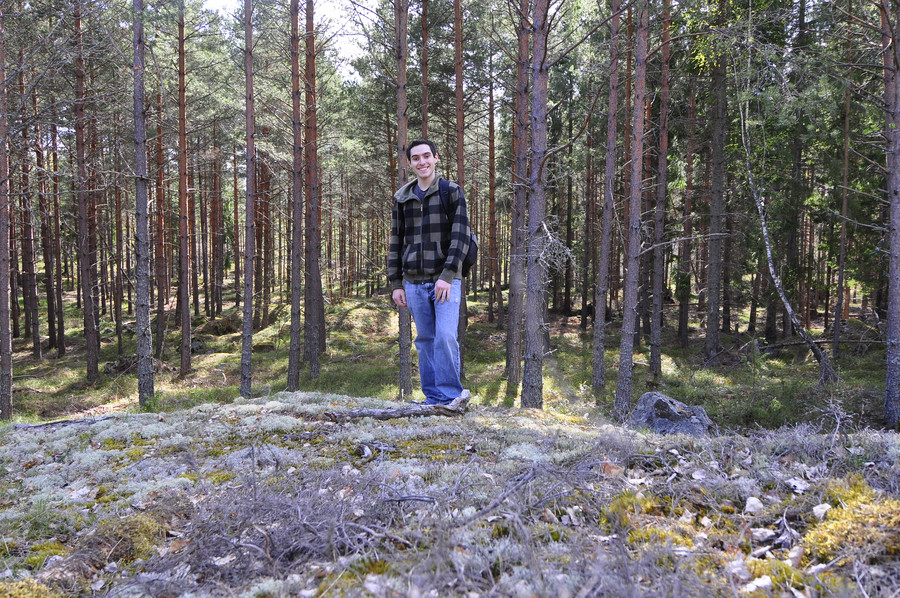
And then I was like standing and there were like these trees and stuff.
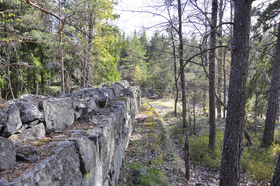
Random wall along the trail. GPS Coordinates 59.3963912, 18.4642322.
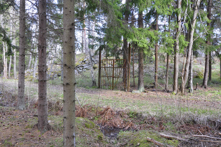
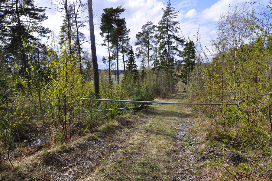
Also a delicious gate, that really does go to nowhere. There is no fort or anything so idk what that thing is thinking being there.
Here is 2:a batteriet (or is it supposed to be 2:e?), GPS coordinates 59.395582, 18.464651:
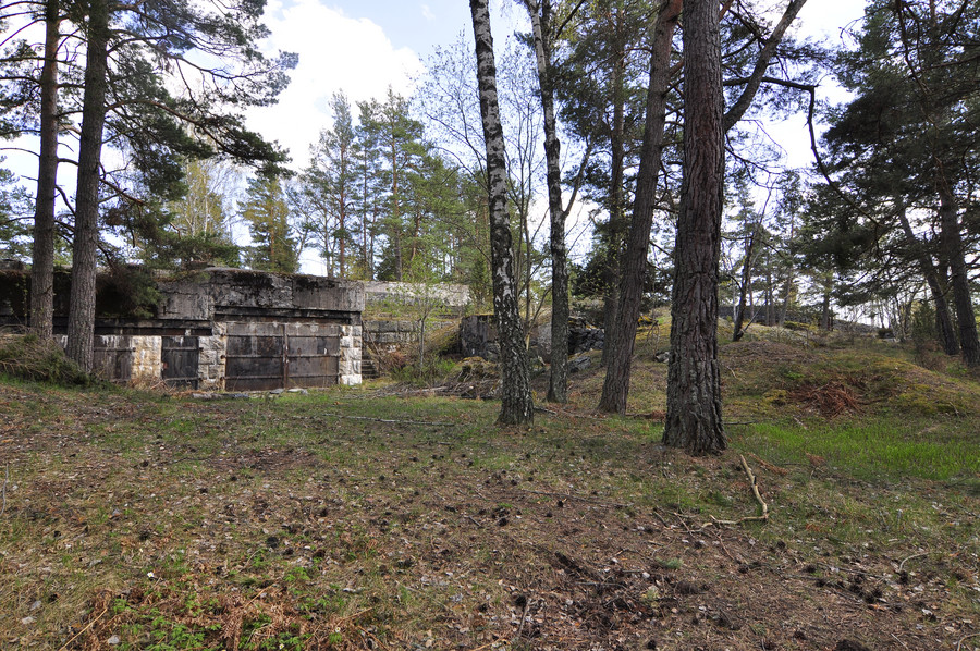
I think it’s a beautiful mix of nature and decay.
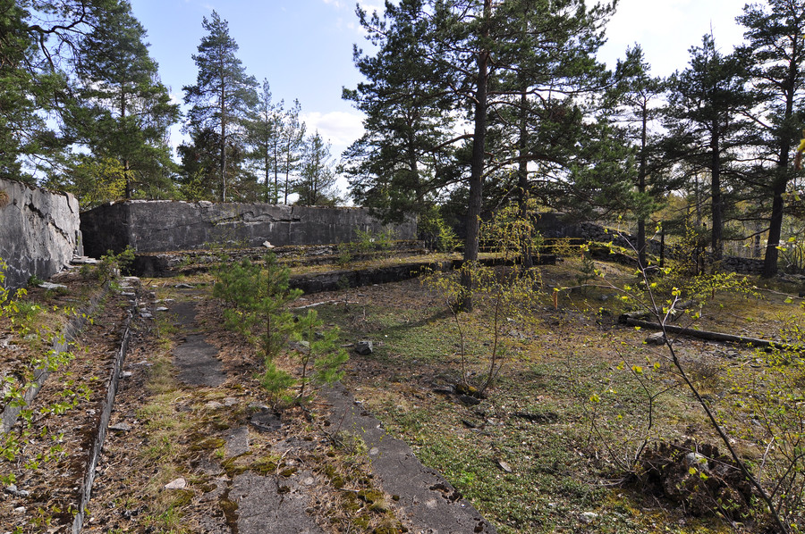
This was my singular attempt at taking a photo whose composition was preconceived with a tinge of effort. Enough of that now.
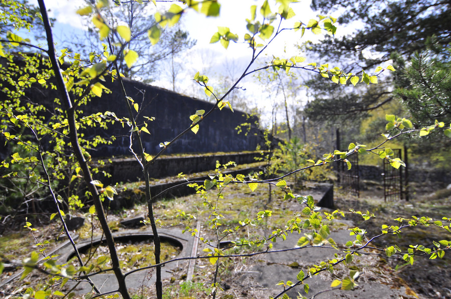
Okok my eyes don’t focus exactly like that… but I was honestly getting bored at this point. These things were fun at first, but by the 10th one it was just not exciting anymore. Actually, the one thing I remembered about this location was that it was next to a car road, and I subsequently saw the first humans walking in over 5 hours. It really pissed me off that these people think they can just walk in the forest wherever they want and disrupt my solitude.
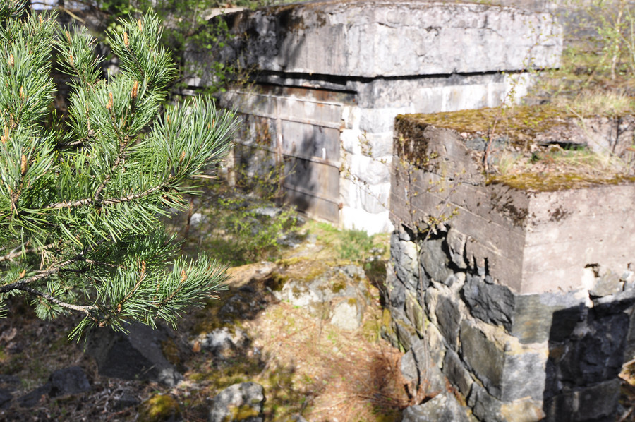
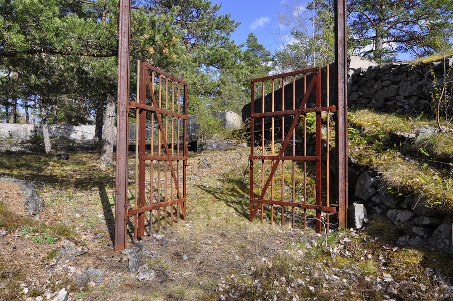
Oh yes this one had another gate of course, I had to post it but saved you from the version with me in it.
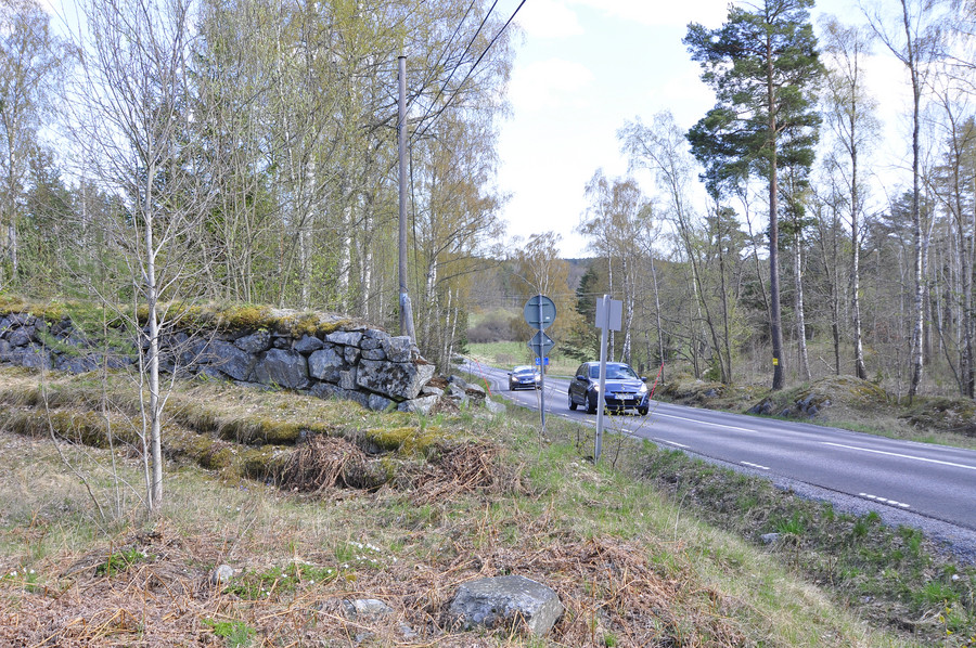
Cars to remind me I’m not anyplace exciting.
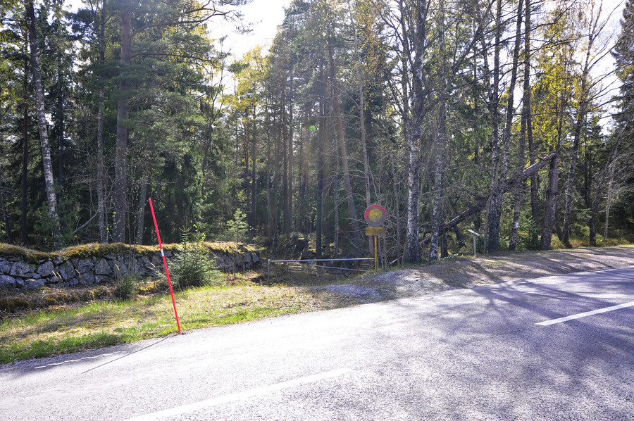
And the path continued on the other side of the road. OH ya, so about this path I’m walking on. Originally my plan was to just hike straight through the forest to each pushpin on my map by way the crow flies, and that suited me well in the beginning because I magically stumbled upon that underwater place that wasn’t on my map. However, I came to realize that all of these places were connected by an unpaved path through the forest that wasn’t on google or any other maps.
It took the fun out of my adventure because I wasn’t really being adventurous anymore, just walking down some road instead of plowing through the forest trying to find things. But like I said I was bored and my feet were killing me, and by this point it was merely a mission to collect gps coordinates so I could declare “been there done that” and strike this place off my list without feeling like I regretfully missed anything.
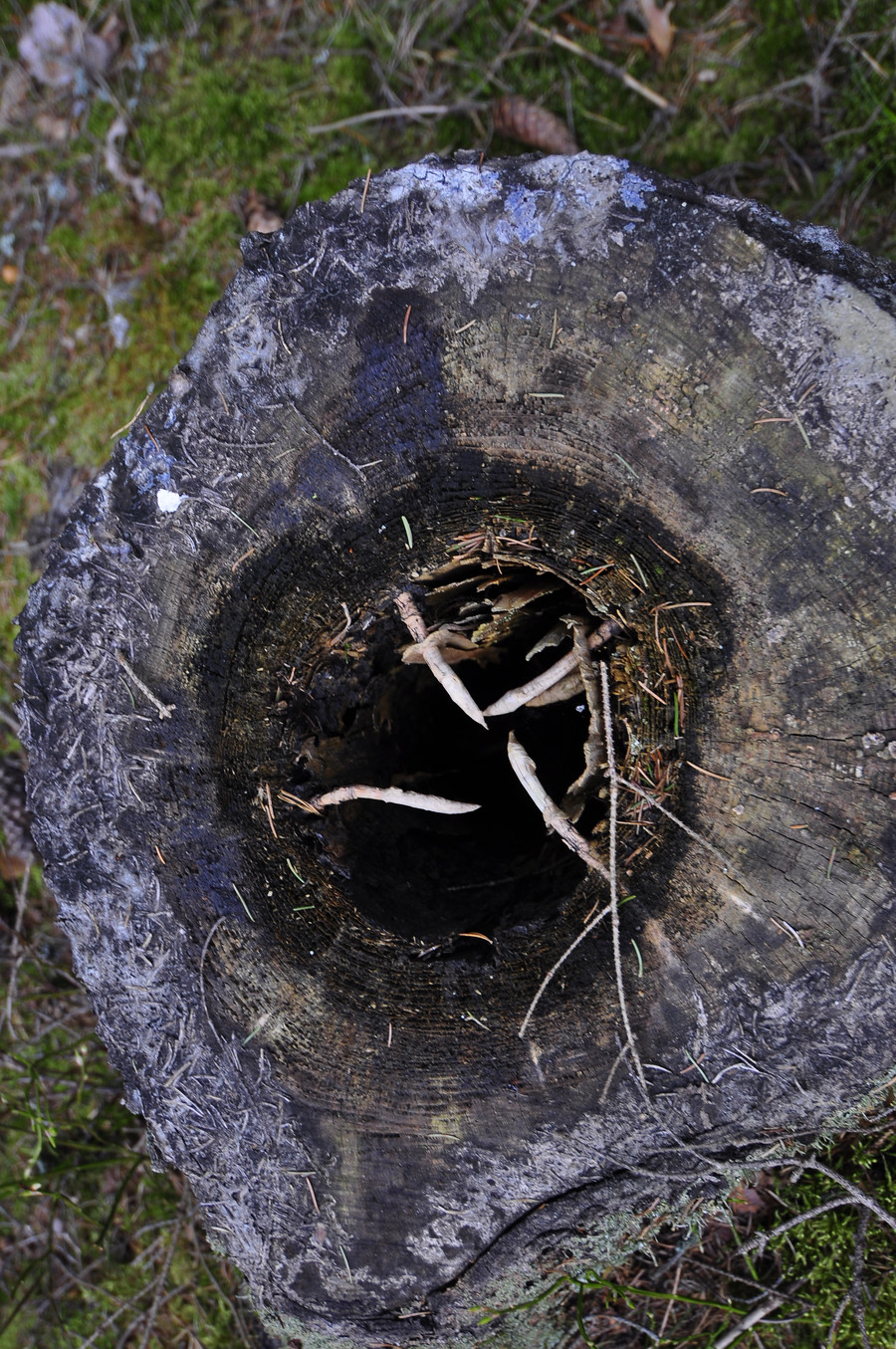
This is rather interesting, it’s looking down the inside of a tree trunk. It sort of reminded me of that monster that ate jabba the hut.
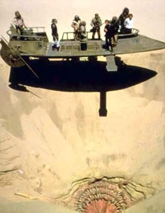
yes thank you wikipedia, this thing
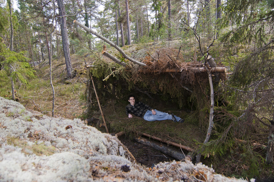
Ok this was epic, I found this bed made of pine branches in the middle of nowhere. Like the wilderness survival merit badge on steroids… I never got that merit badge, fuck boyscouts. 🙂
Anywho somebody definitely slept here, there was fresh firewood next to it. GPS coordinates of this top class destination A++ would go again are 59.3925211, 18.4604321.
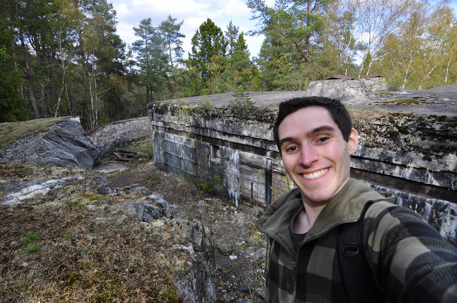
Here’s the last place of interest on Myttinge, 1:a batteriet with GPS coordinates 59.3920078, 18.4601853.
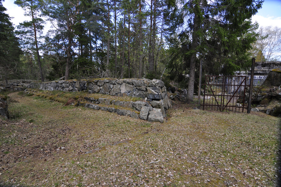
Yes I really don’t have anything to say, like I said I was just aching everywhere and merely documenting at this point.
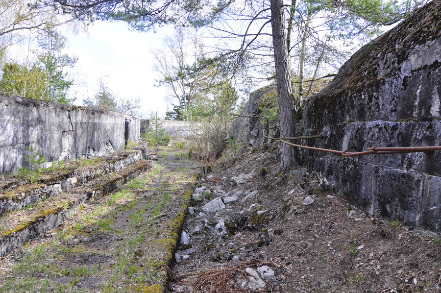
Won’t stop me from forcing out a smile though.
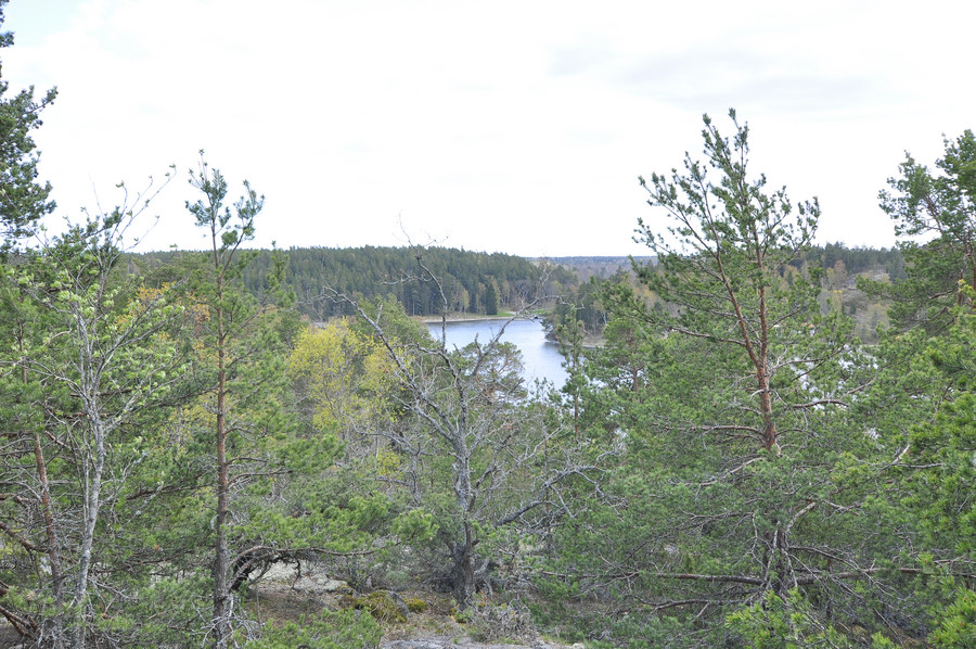
This picture is way too bright. I could have easily fixed it, but who cares. At this lookout point I actually sat down and plotted my return journey. I already had multiple possible routes home written down but I invented a third way which ended up totally not fucking working at all, but anywho I decided to forego the 2 hour direct bus from Myttinge in lui of taking the ferry back, because I decided the ferry was enjoyable enough to experience twice.
Walking back to civilization.
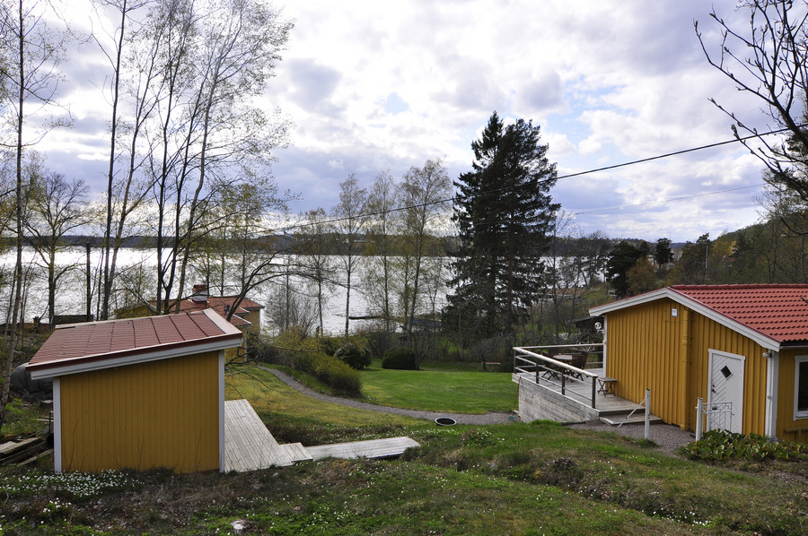
Not as good as Rindö, but still a lovely place to have a summer house.
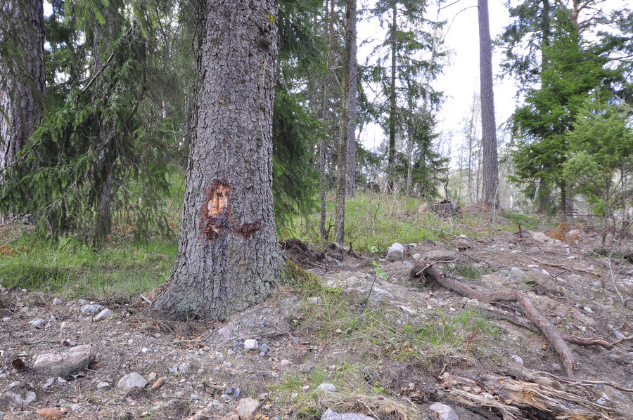
I might be crazy but I thought this looked like Jesus. Hopefully some fundie will try to buy this picture from me.
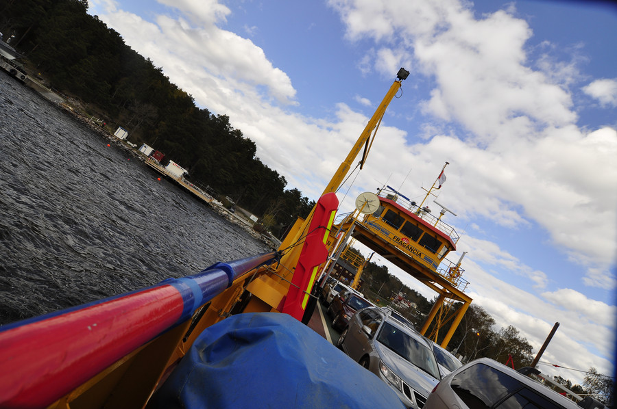
Taking the Fragancia back to Rindö. Yes, the Fragancia. fraggggggggggggggAncciiiiiiiiiiiaaaaaaaaaaaaaaaaaaaaa
