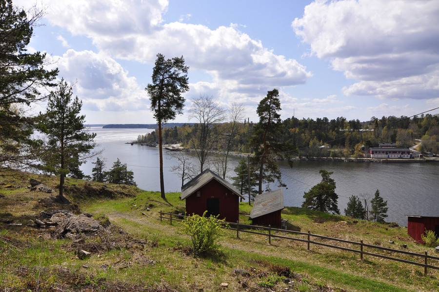
First post: Myttinge / Rindö Adventure in Stockholm County
This clearly used to be used for something military related, but I have only done a cursory web search so far. I imagine that today it’s just used as a pedestrian tunnel to walk straight through the tower hill instead of walking around it by road. In any case it was damp and echoey.
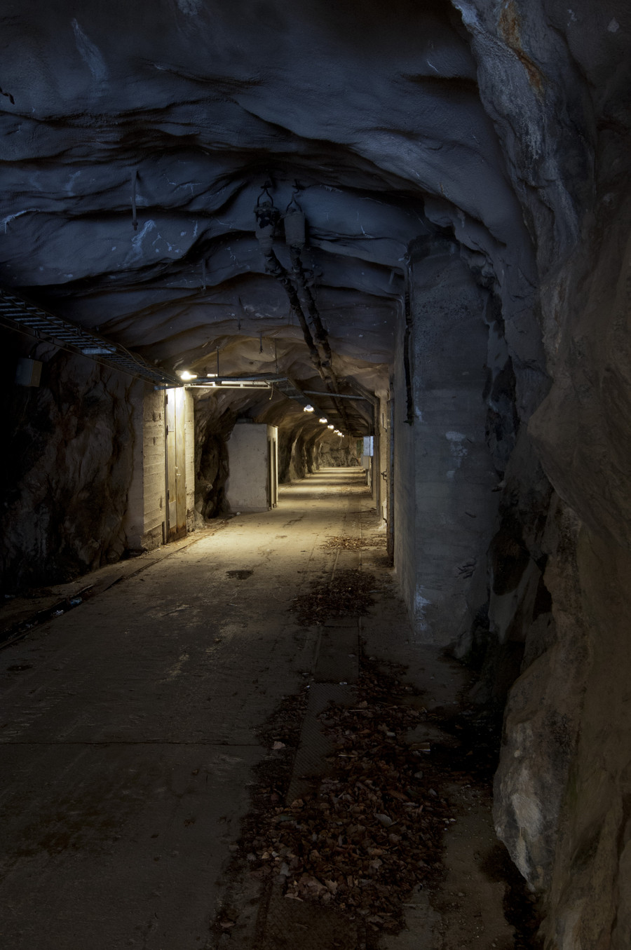
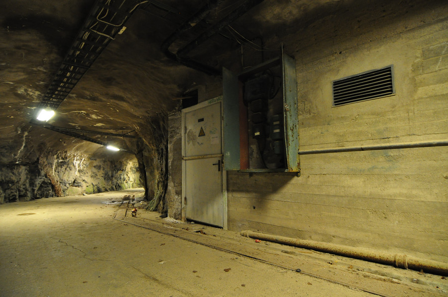
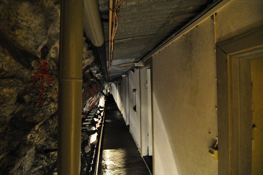
There was one door, and only one door, which was adjar. I opened it up and took a photo in flash, then quickly walked away. It was a pitch black corridor and scary. All the photos I took in here have long exposure times, and I had to brace my camera against the walls/ground to keep it steady enough. It was much darker in there than these pictures make evident, and I felt tense the whole time.
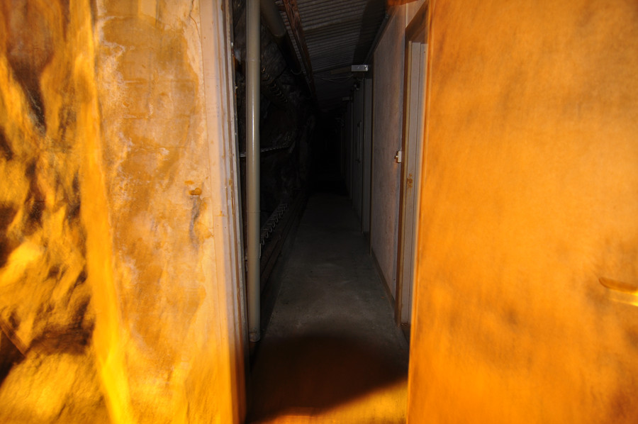
I walked around the bend and continued out the other side.
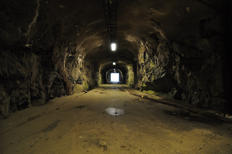
Here I’m on the other side of the tower hill, and you can see how there are two tunnels. The one on the left is boarded up, the one on the right is where I came through. All the doors in the hallway were facing the inner side, so I imagine there were long corridors behind them connecting with the other tunnel. I walked back through the way I came to get a chance at more pictures.
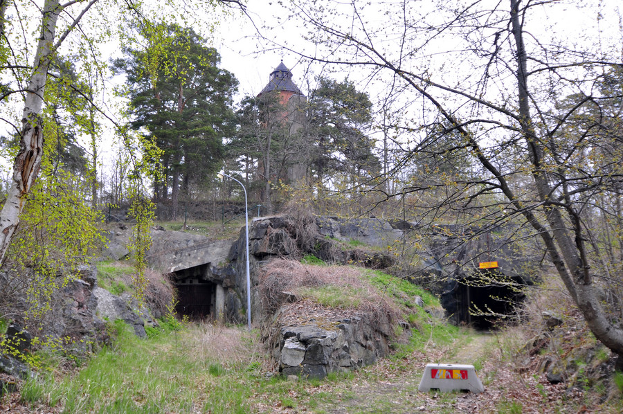
Btw the gps coordinates for the tunnel entrance in the below photo are 59.3936880, 18.4341785
I actually brought my maglight with me in anticipation of ending up somewhere dark, cuz i hella think ahead yo. I put the camera on my backpack on the ground and took this long exposure with my flashlight shining down. I really wish I had the balls to walk down there, but even with my flashlight I just couldn’t do it.
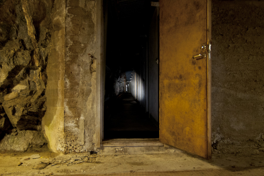
I mean really, this was the most exciting thing I came across in the entire 9 hour day I spent out there exploring. It was nagging in the back of my mind all day for how much I wanted to just walk down there and explore the closed tunnel and see what artifacts I could find, but I was by myself and was afraid of zombies.
Here’s the best picture I took.
I also took a short video.
It gives a more realistic sense of the lighting situation.
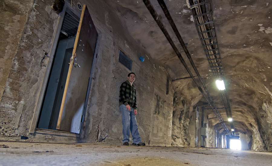
Quick note about photoshop and how I use it. The following image is the jpeg developed by my camera. The white balance is clearly fucked up.
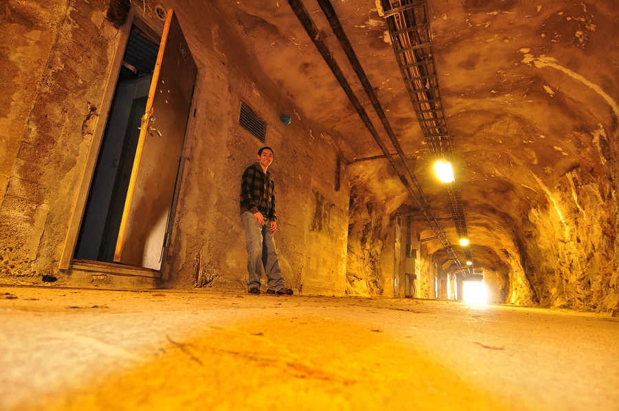
And two seconds later, magic. The thing is, the first photo is closer to reality than the second. The white balance in real life was fucked up, because the lights in the ceiling were in fact yellow. Going with what I said at the beginning of this post, my pictures here aim to recreate my adventure as accurately as possible. Most photo retouching I do is only to further these times where I know better than the camera, so I would forego the correction in the latter image and post the yellow one instead.
I’ve stripped the pictures of exif information in an effort to make them smaller, but I will let you know of any egregious photoshop lies.
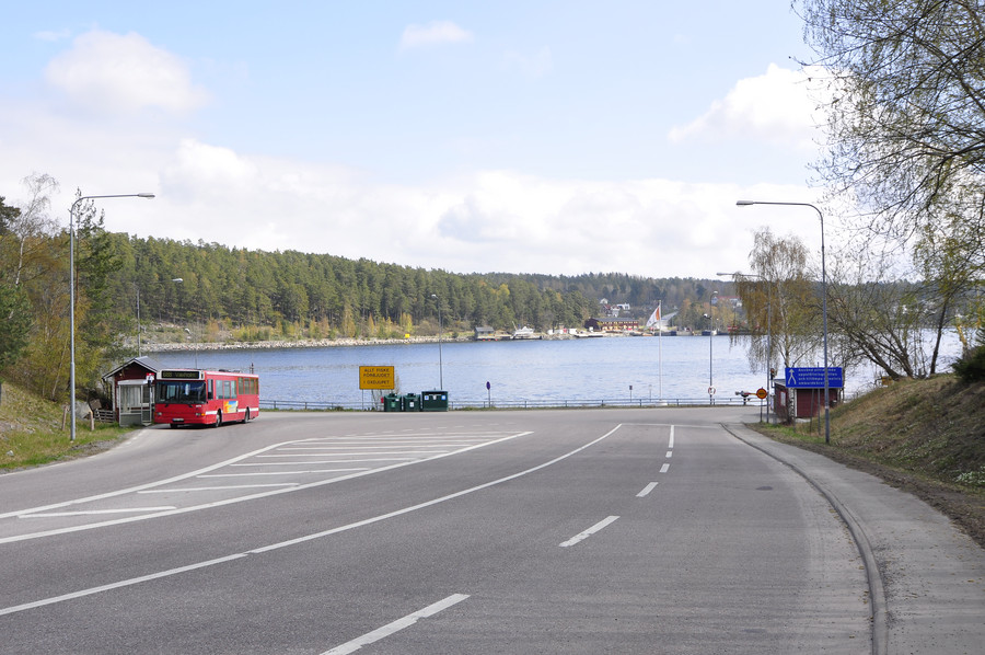
After all the tunnel excitement, I walk down to the dock for the last hop across the channel to Myttinge.
I’ve shown lots of discretion on posting self shots, there are way more in my folder than I’d like anyone to know about. That yellow boat is the car ferry that goes back and forth between here and Myttinge all day, and like all car ferries off the island, the fare is free. I was delightfully surprised when the crewmember told me this, and he just said that Stockholm has apparently decided it’s in the interest of society to provide connections to this island. I swear the population of Rindö is probably no more than 1000, it’s downright epic they have a bus service and boats.
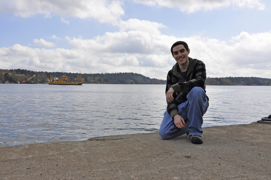
Taking the ferry across.
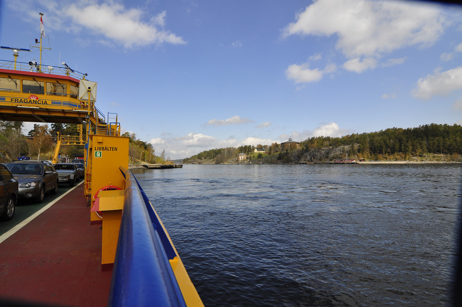
Straight from the camera [SFTC]. Sometimes you just get these perfect shots.
Ok so here is my first WWI artifact from Myttinge. This one is exciting because it wasn’t in my GPS, I just completely stumbled upon it randomly with luck. I’m not exactly sure what it is. It was like a mini burried pillbox, but not tall enough to stand inside of. That door is maybe one meter tall. While I can tell temperature by metric now I still think in feet, but I will always say meters to sound European. 🙂
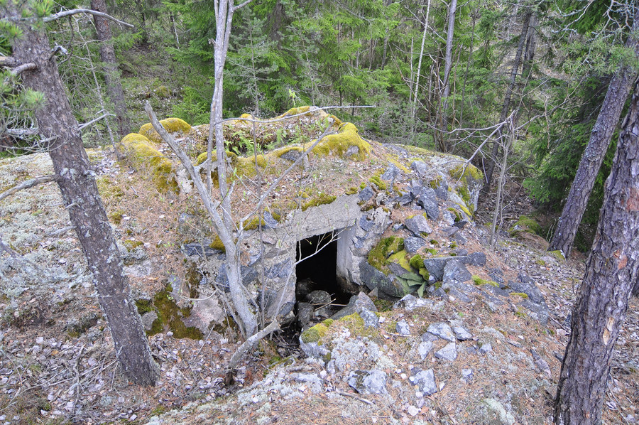
Looking inside, you can see there’s a skylight but not much else. I’m not sure how big it is to the left because the water prevented me from poking my head inside.
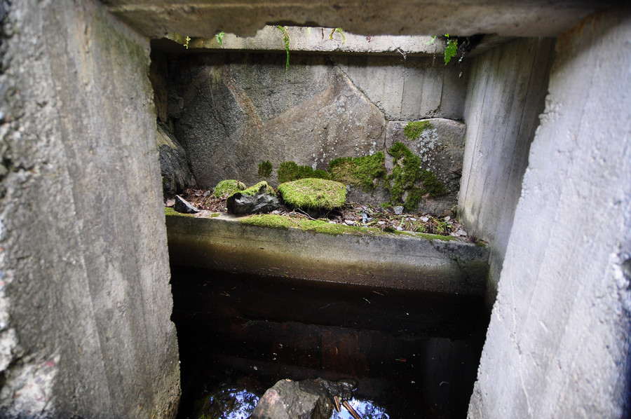
The GPS coordinates for this find are 59.3988949, 18.4453415.
Every time I found something interesting I took a picture with my cellphone so I could harvest the GPS data later.
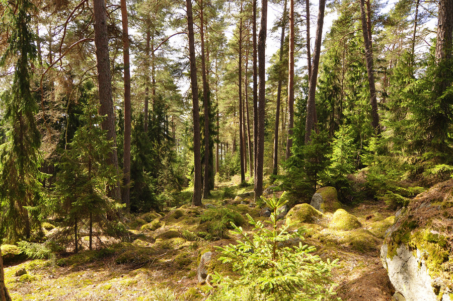
So here’s the deal about this trip. The night before I took a list of coordinates from from the svenska wikipedia page and created a Google KML file out of it, which you can load in Google Maps. I wish it were more exotic than it sounds, but I was essentially just trekking through the forest with Maps on my phone. That’s what made it so exciting when I found things I wasn’t looking for, like the tunnel on Rindö and this bunker I’ll show you later.
Here is a picture of me standing on a rock.
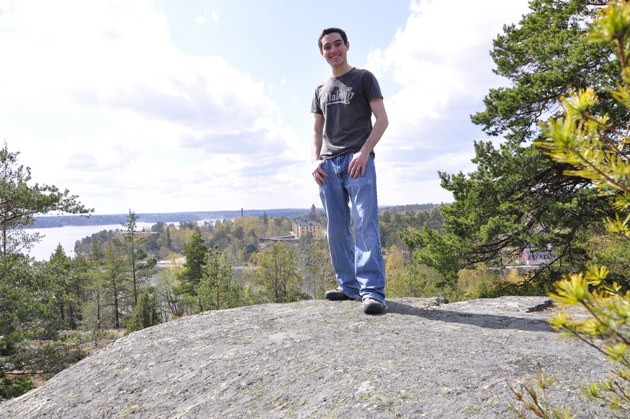
So basically, I’m not going to venture all the way out to the middle of nowhere and then not have any pictures to prove I was at such and such a place. I take a lot of pictures of myself standing in front of shit. Sometimes it’s to mark a scenic location like above, and sometimes it’s just to show “and here I was walking down this path…”
Since I’m by myself I have to set my camera on top of something and use the timer, which often times is a lot harder than you might think. It’s kind of like an art form that takes lots of practice to get good results, and even though I do have lots of practice I still often end up with this:
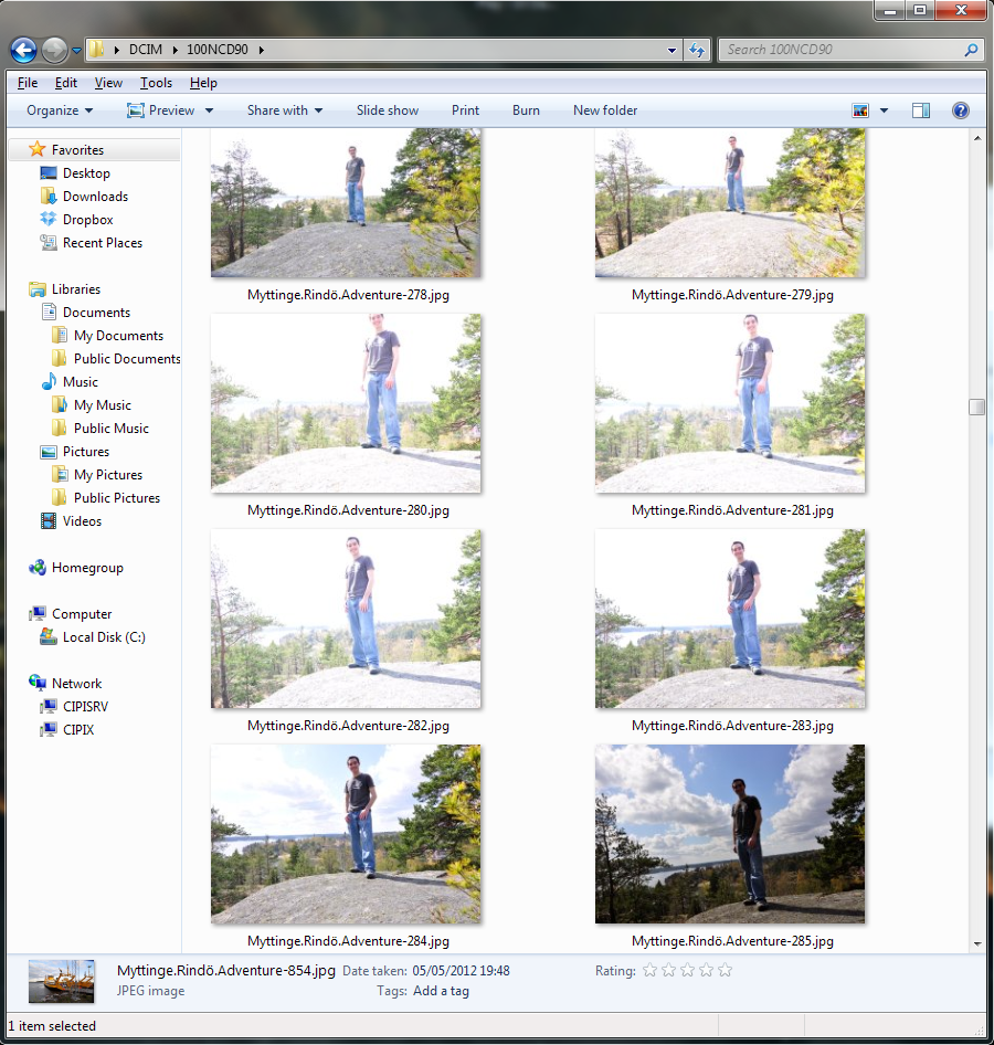
I kept getting fucked because the clouds were moving fast and every time I set the timer the light would change within the 10 seconds and expose wrongly. But I’m not ashamed to show it–behind every picture I’ve cherry picked for this post there’s probably one or two more that didn’t turn out right. I’m really not a great photographer… I took over 800 photos on this one day, and most of them are garbage. Anywho, now you know my dirty secret. Moving along now.
Yep some round thing.
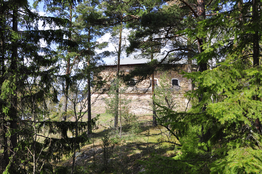
Very beautiful view. The GPS coordinates for this and the circle thing are 59.3995962, 18.4422960.
