Day trip to Innsbruck–gem in the Tyrolean Alps
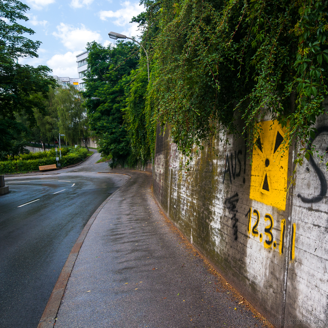
I found myself walking up a winding road called Höhenstraße, which later turned out to be the exact way of reaching the Hungerburg neighborhood where the tramway terminal is located. I really have a terrific fucking sense of direction and luck, let me tell you.
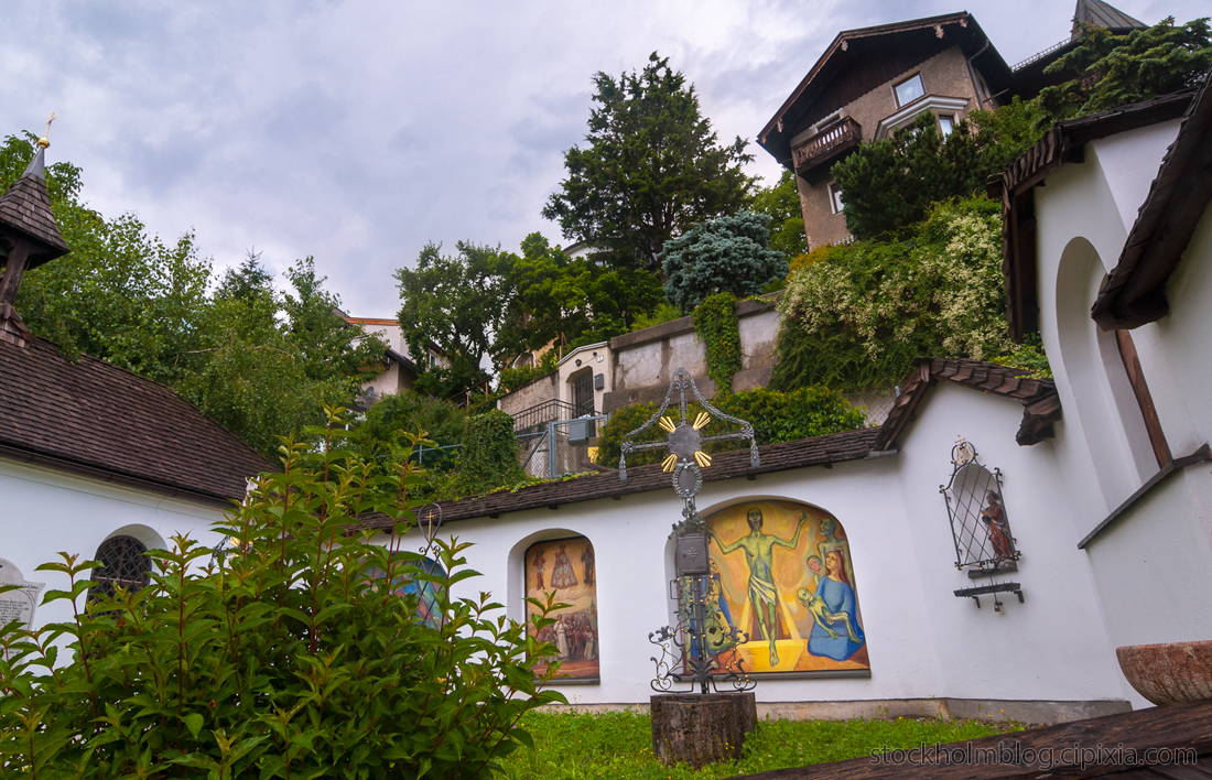
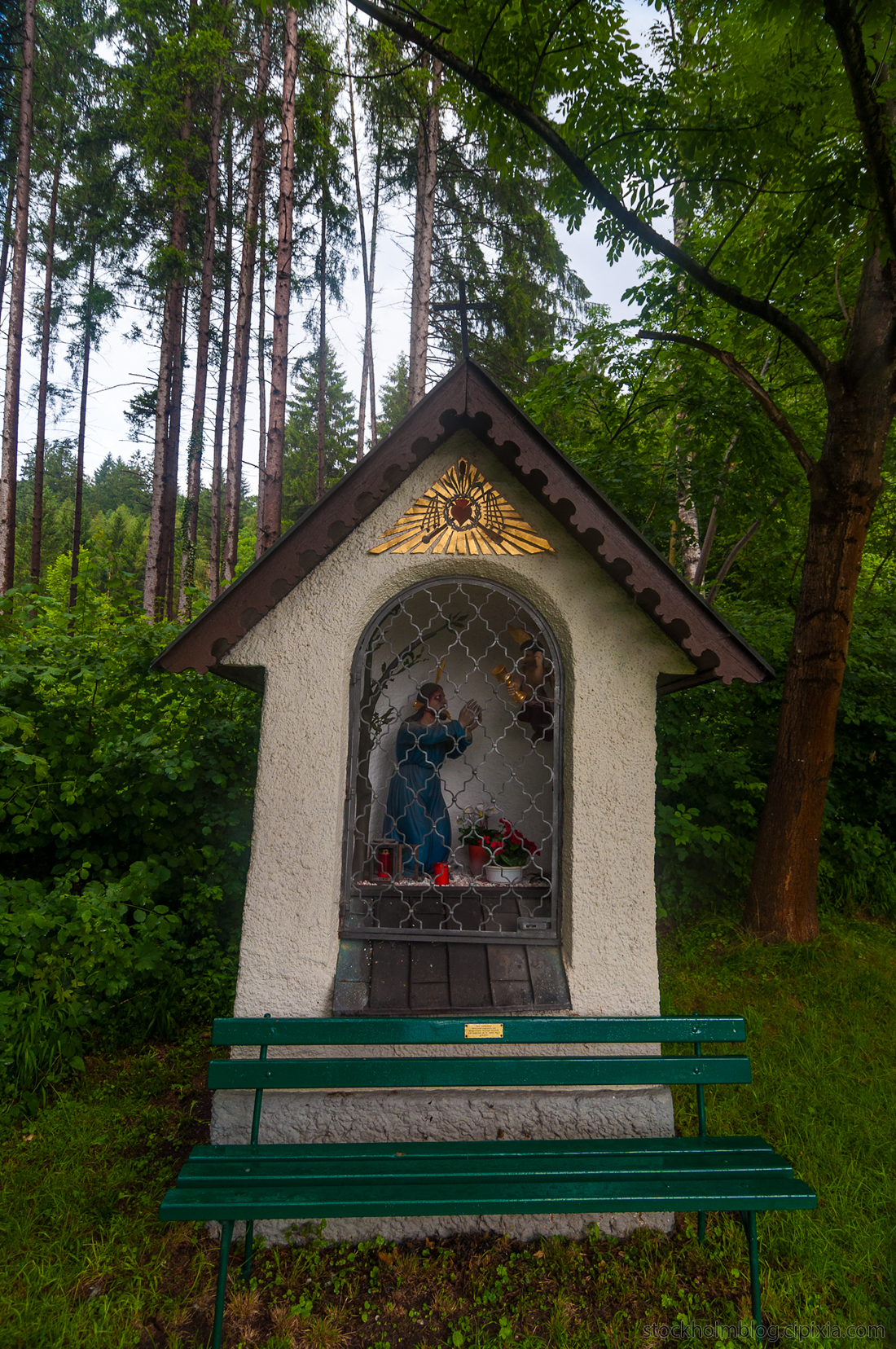
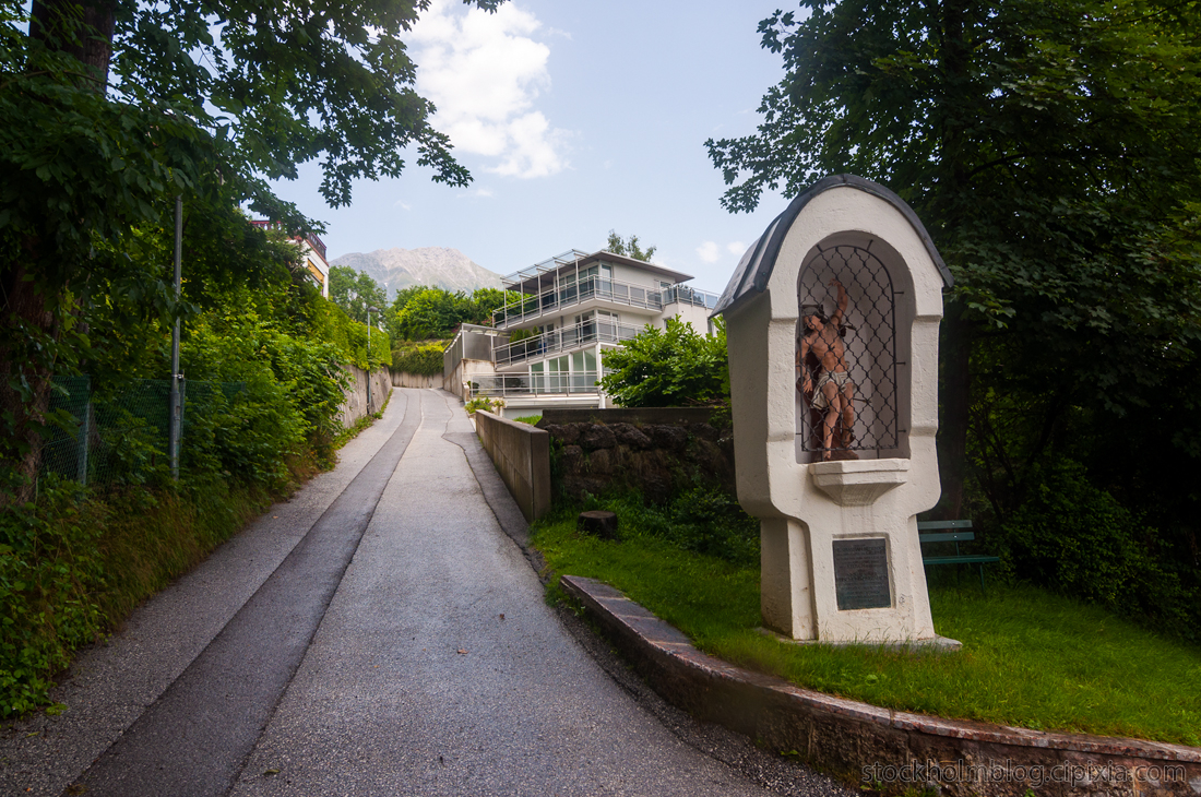
Here is a colourful religious site on the side of the road. I was really taken aback by how prolifically religious symbols are ingrained in Austrian architecture and culture, compared to the zero traces of religion I see here in the Bay Area.
I walked on and on. I was confident this road made a good choice of direction because a city bus passed me; it had to go somewhere significant and if not I could always ride the bus back down.
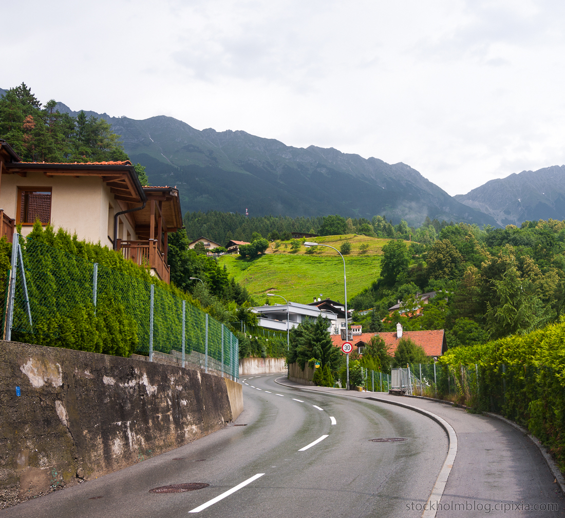
As I rounded this bend, the pedestrian sidewalk ended for some reason. I didn’t want to keep walking up this winding road with no sidewalk, so I took a detour down the driveway to the right.
First though I turned around and snapped this photo showing the altitude I had reached so far. Definitely a ways outside of the city center, I had been walking about an hour and twenty minutes since I arrived. When I like to go on an adventure, I really do like to go on an adventure and try my best to go off the beaten path and stay away from tourist traps.
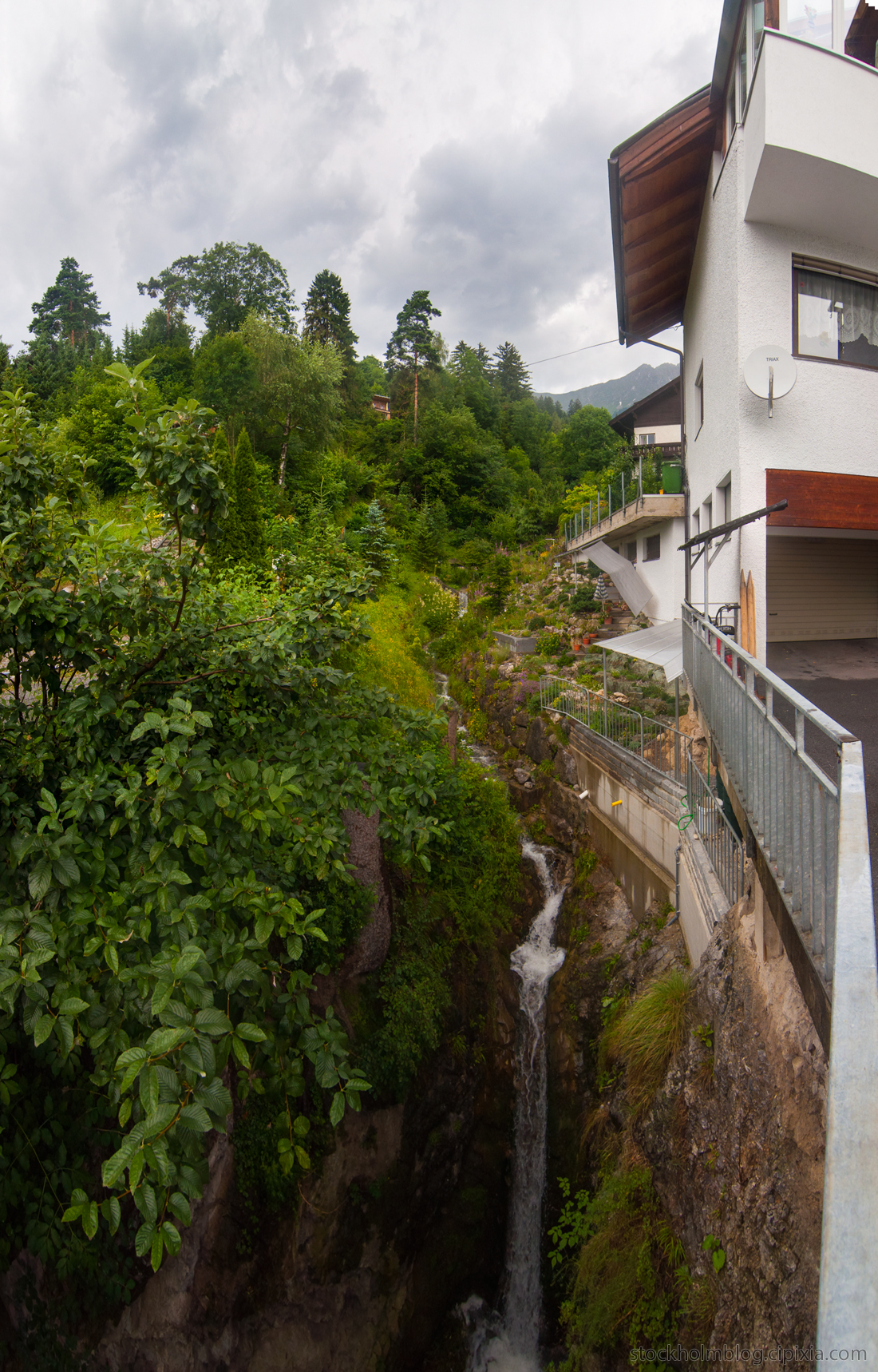
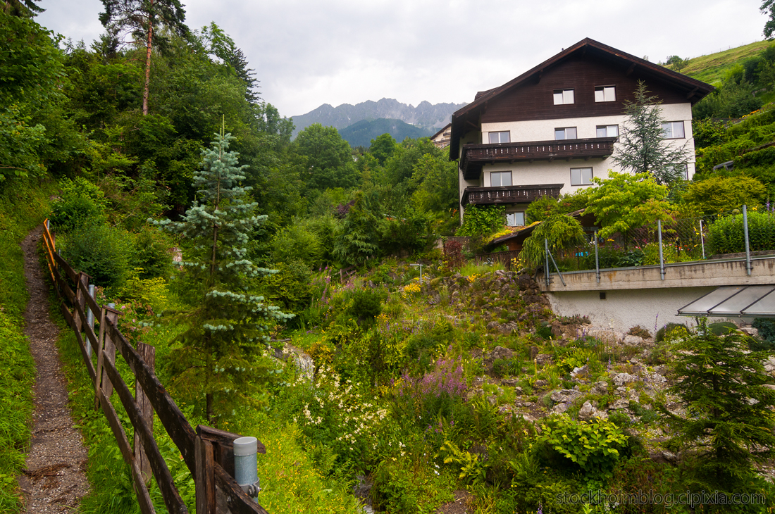
Back to the detour. I came to this beautiful house situated next to a small stream on the edge of a nature area. There was a footpath leading up into the trees, and I just hoped it wasn’t private property and ended up taking me somewhere useful.
These people have one hell of a front yard.
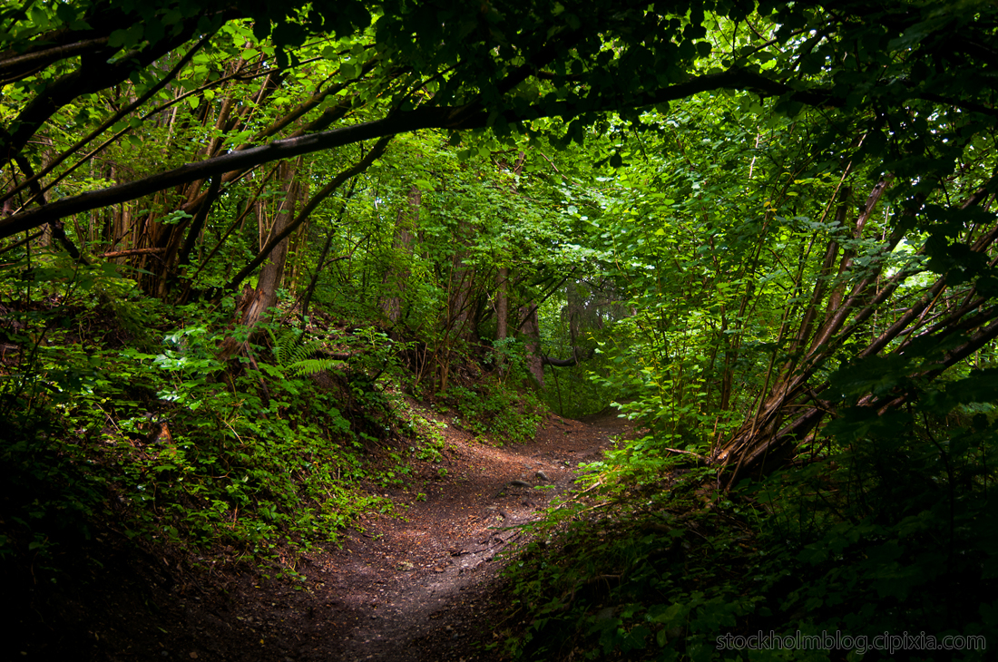
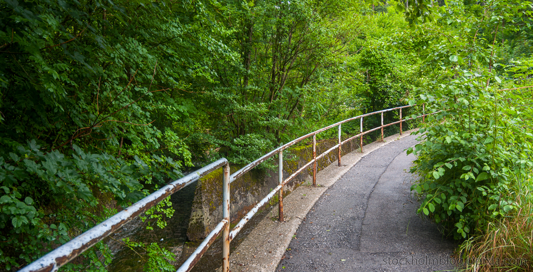
I thought this picture was cool because of how the trees made almost a tunnel over the path.
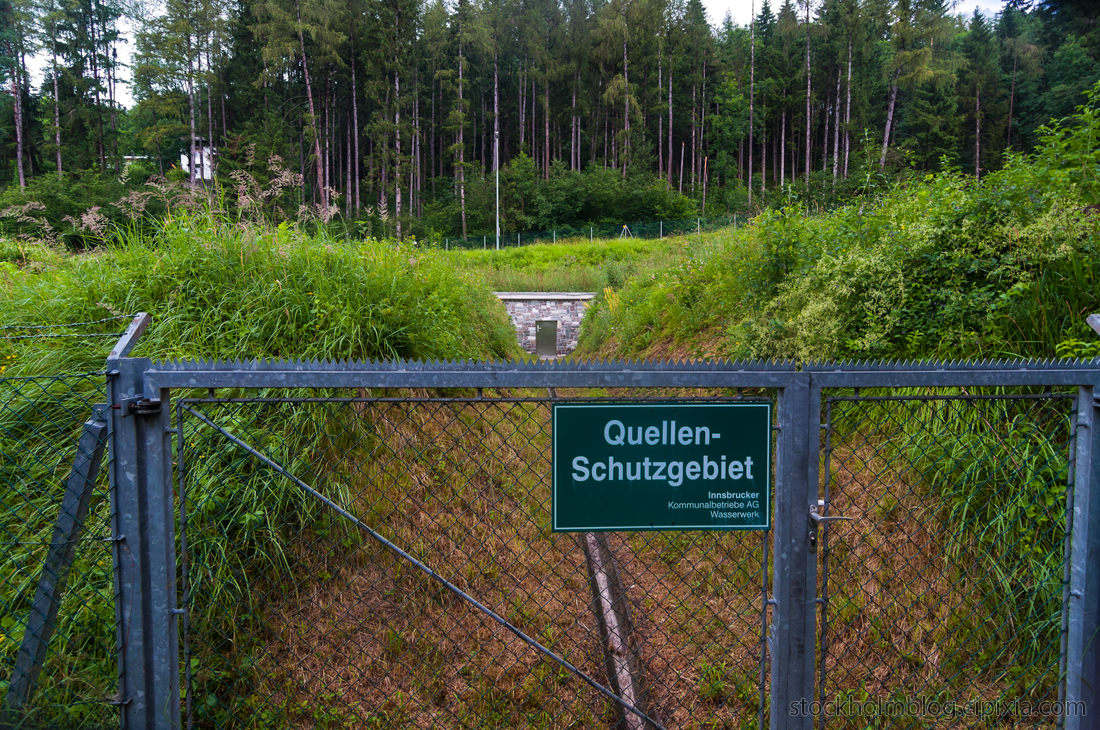
Near the top of the path where it rejoined the road, I found this interesting bunker-like entrance. The sign says something about wasserwerk or waterworks, so I’m guessing it has something to do with the municipal water supply. The area above ground that they cleared trees for was massive too, so there must be a huge facility underground here.
Just one of many Jesus shrines I came across.
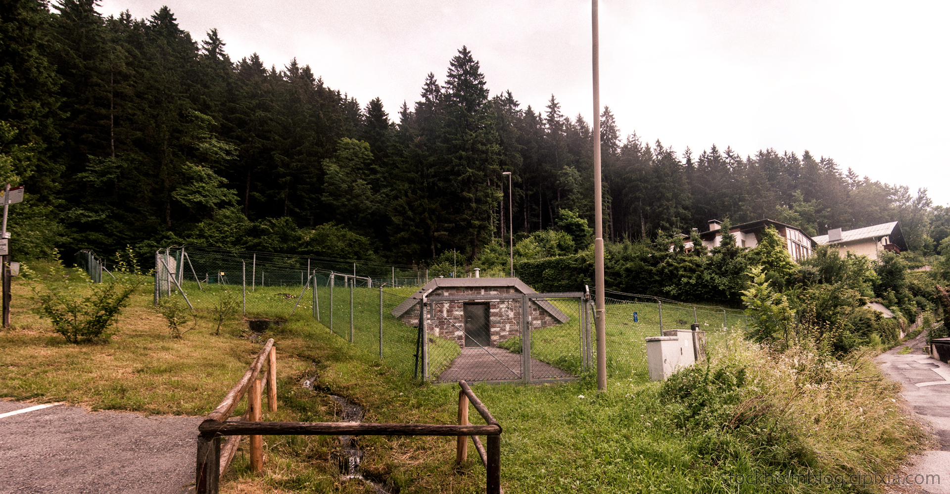
When the trail opened back up onto the road, I found another bunker entrance. There was also some big fenced off area across the street with ventilation shafts coming out of the ground. I really wish I could go inside and see what was going on. The coordinates for this location area are 11.38930768712401, 47.280091080675845.
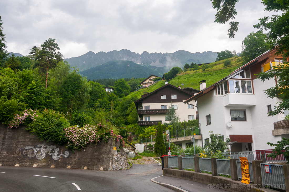
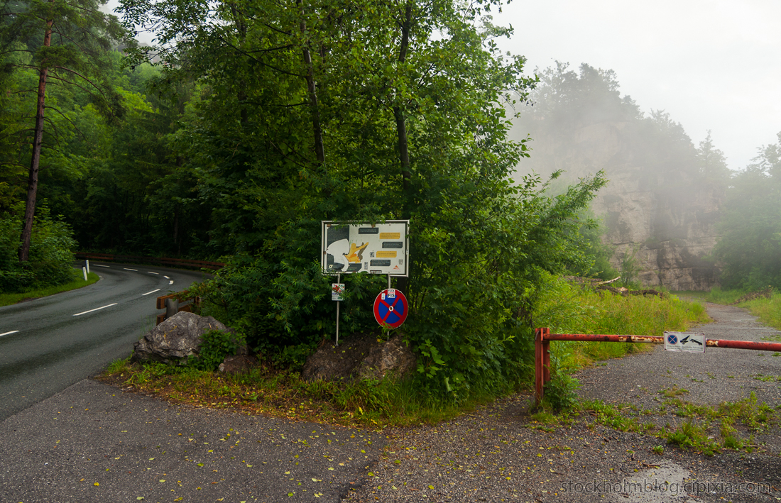
I continued walking up the road and reached the altitude where a mist started to roll in. Here I faced a junction where I could continue on without a sidewalk on the left, or explore the closed road to the right. The choice was obvious.
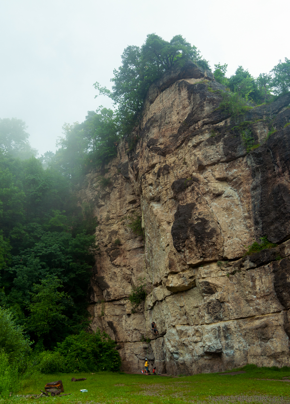
It turned out to lead to a rock climbing area, and there were people doing just that.
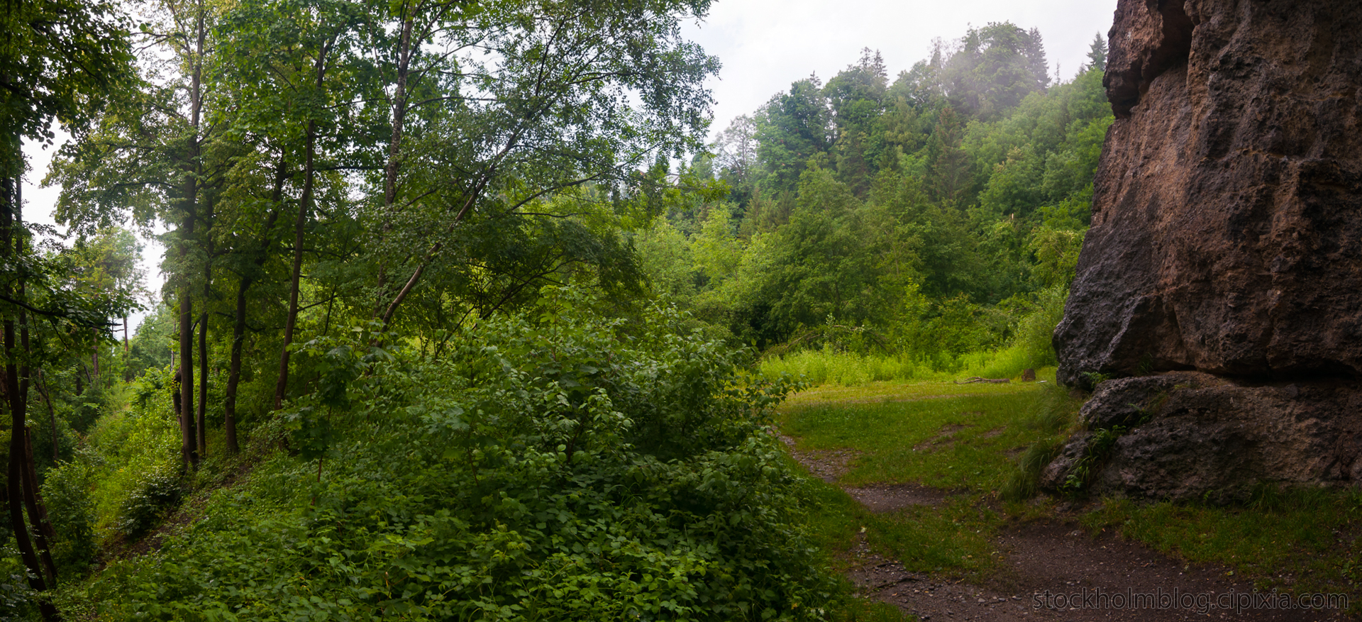
I walked around the cliff and found a trail that continued behind it, and here is looking back towards the road.
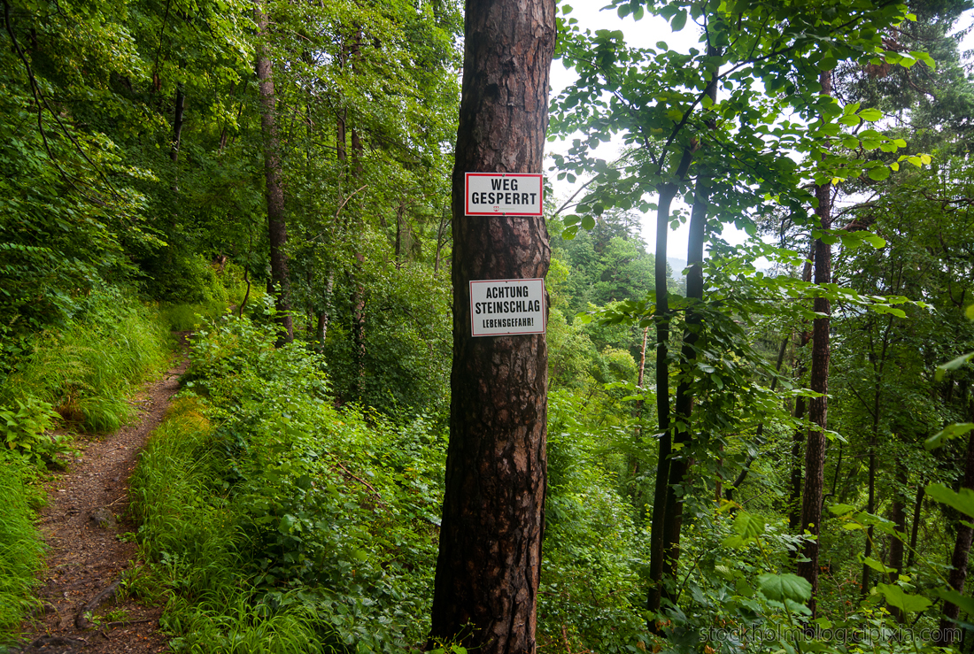
I’m not sure what the signs say but that font face doesn’t look very inviting. After walking so far out of the city center and up this mountain, I was hoping for a payoff in the form of a grand vista point.
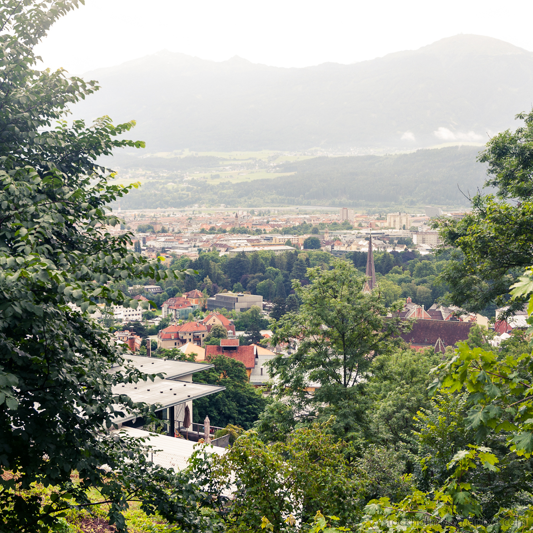
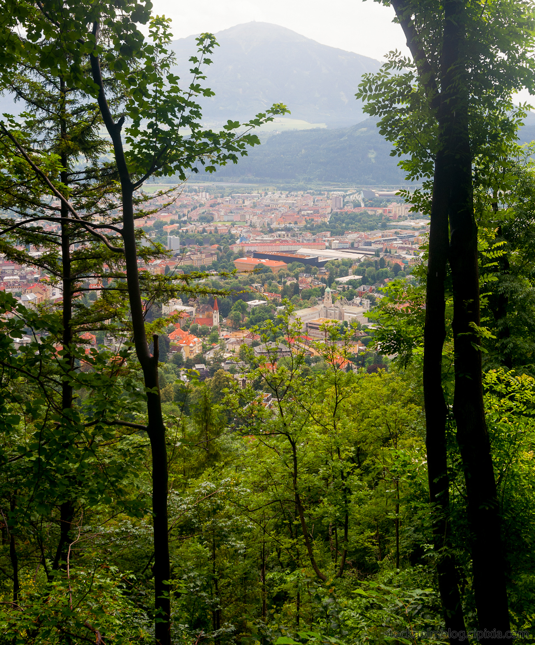
Bits and pieces of Innsbruck peaked through the trees, but the view was always obscured.
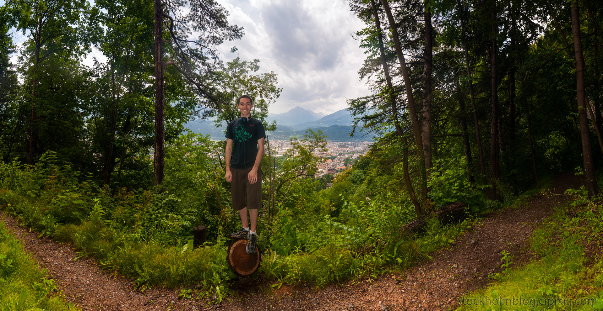
Here I’m capitalizing on a panorama opportunity 😀 .
As I kept walking the sun suddenly came out and made everything bright, but then quickly fell behind the clouds again. My small trail ended up merging with a much larger hiking trail, and from there I found an exit onto residential streets.
Here is another random Jesus shrine.
