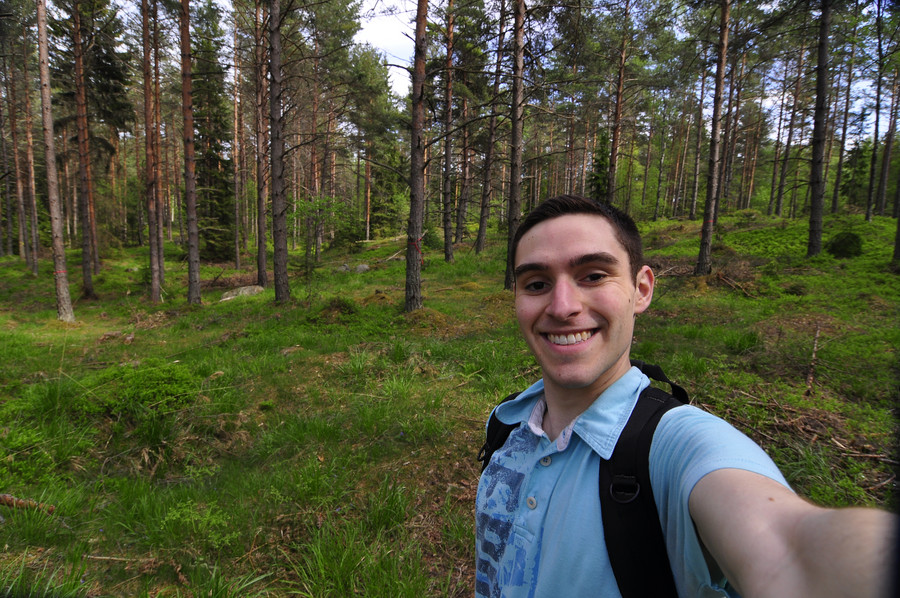
Nackareservatet: 16km hike from Saltsjö-Duvnäs to Erstaviken
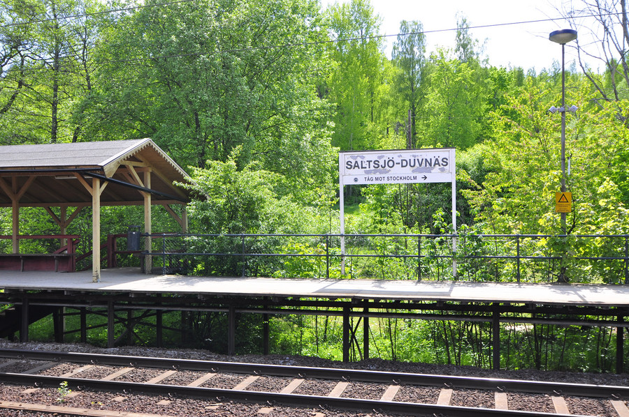
It was a beautiful, sunny day yesterday and I decided to capitalize on it by making a long journey through the forests of Nacka kommun’s nature reserve. I took the Saltsjöbana a few stops further than mine and got off at Saltsjö-Duvnäs station, which is right on the edge of the wilderness.
I couldn’t believe how colorful some of these photos turned out straight from the camera, but it really was a pleasant day.
I recorded the GPS coordinates of my hike using the “My Tracks” android app, and embedded the map below. It’s interesting to see the meandering path that resulted from me avoiding the trails at all costs, and forging my own way instead. I find that trailblazing is more adventurous and the isolation more relaxing.
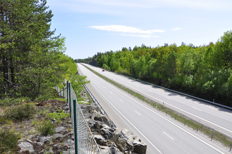
Starting at the train station I quickly came to the freeway which I had to cross. Those towers in the background are the tallest in Nacka and you can see them for miles.
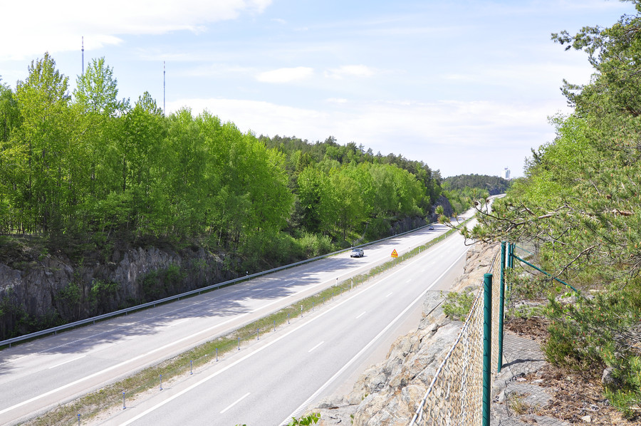
These pictures were taken at about 13:20 in the afternoon, and it’s mindboggling to an American how there can only be a handful of cars on the freeway, suited perfectly by a mere two lanes in either direction. Anyone who’s found themselves in gridlock on LA’s eight lane freeways knows what I’m talking about. Sweden is so tranquil.
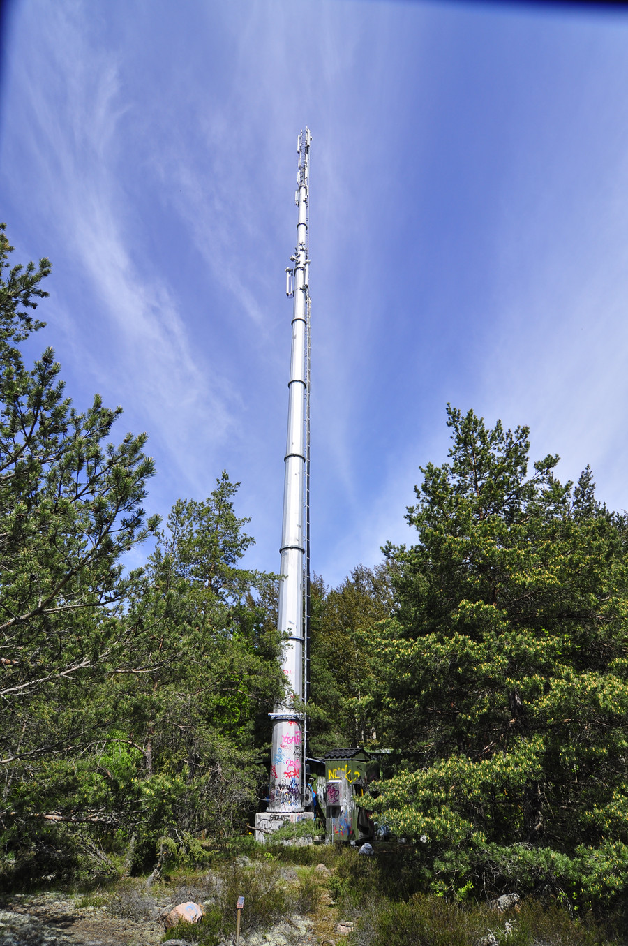
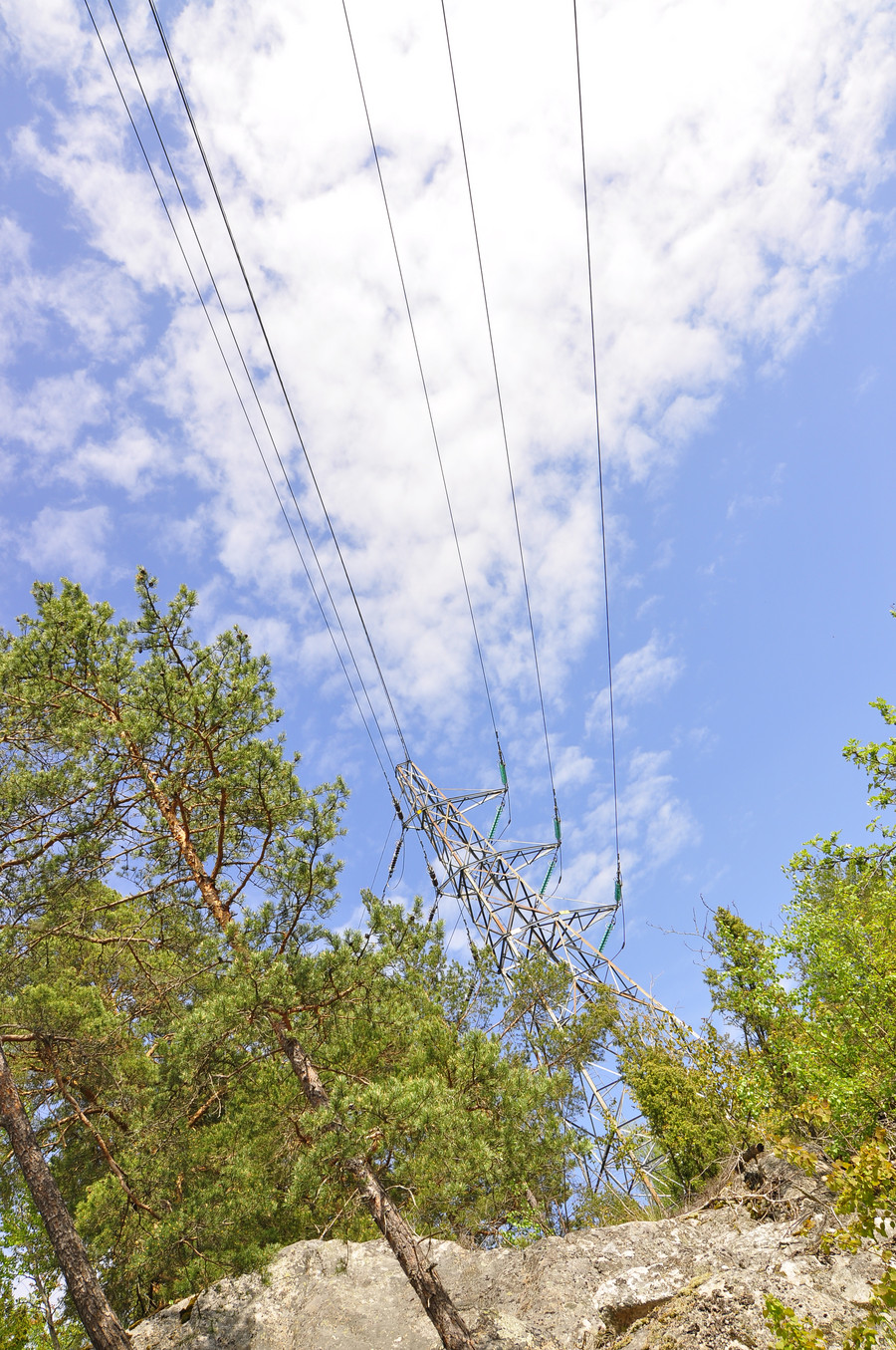
This tower is right behind me from the picture above.
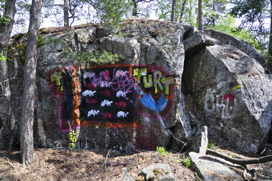
Some random graffiti I found on a rock.
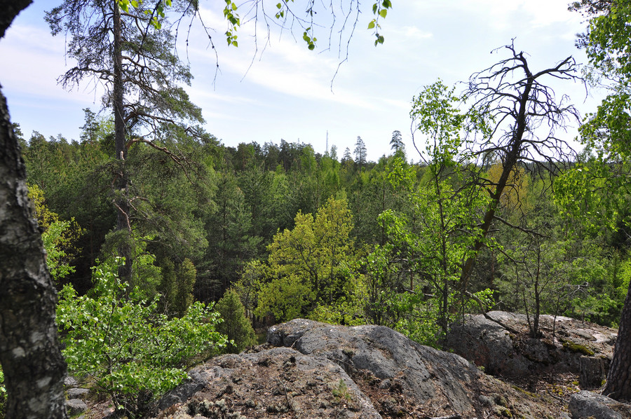
Greeeeeeeen.
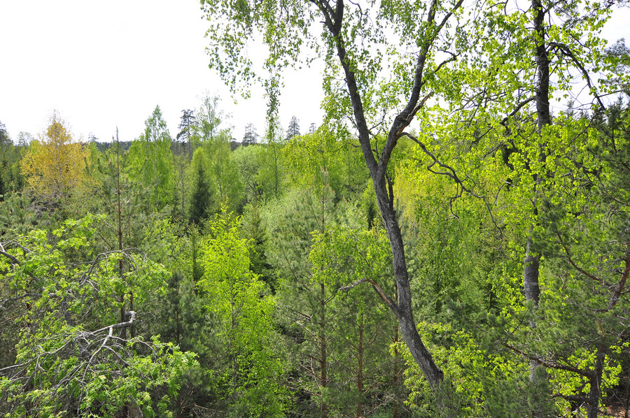
This road ran perpendicular to my path so I crossed over and kept going.
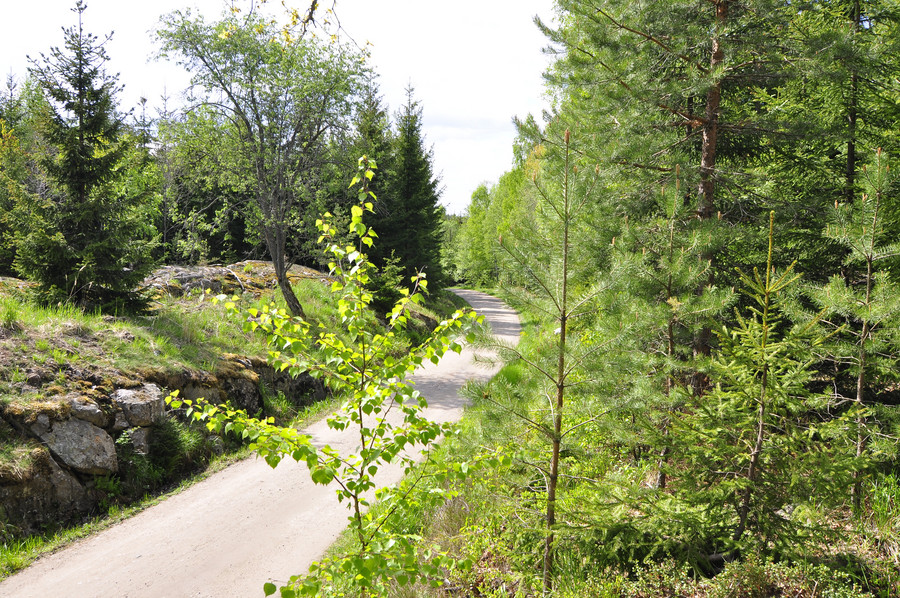
Nacka’s towers.
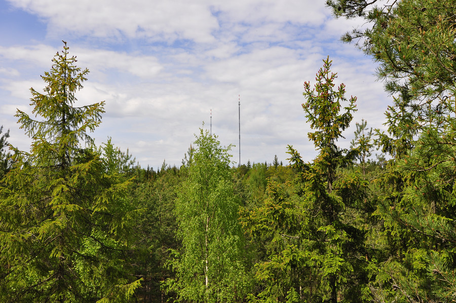
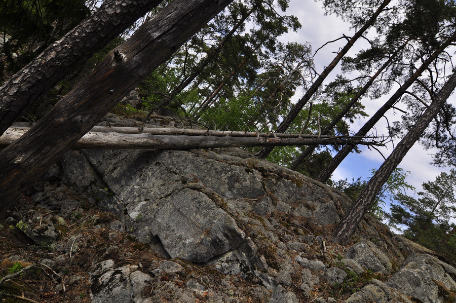
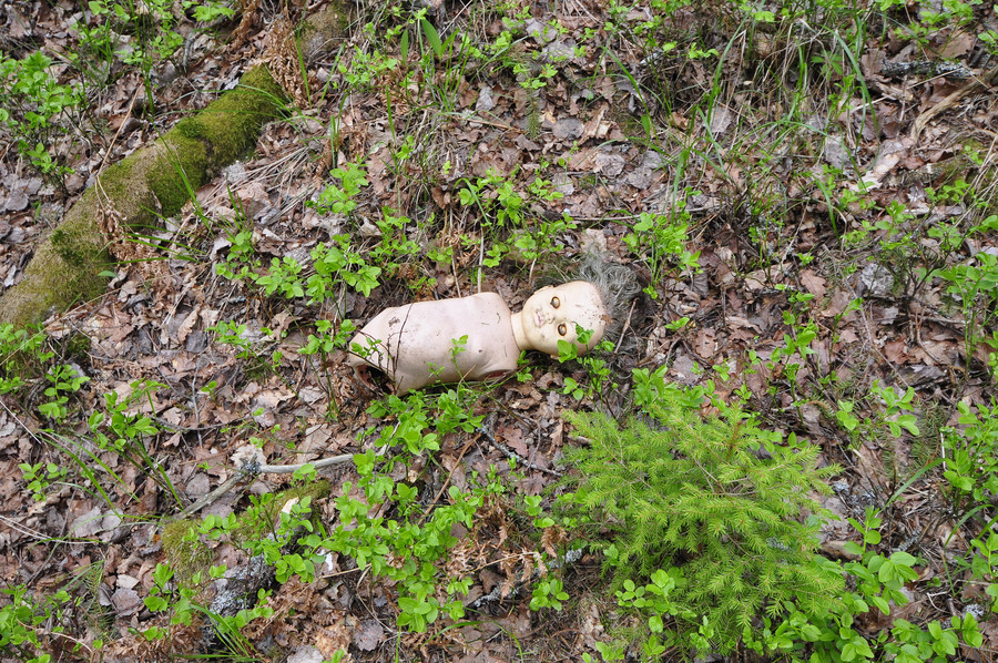
Freakish nightmare.
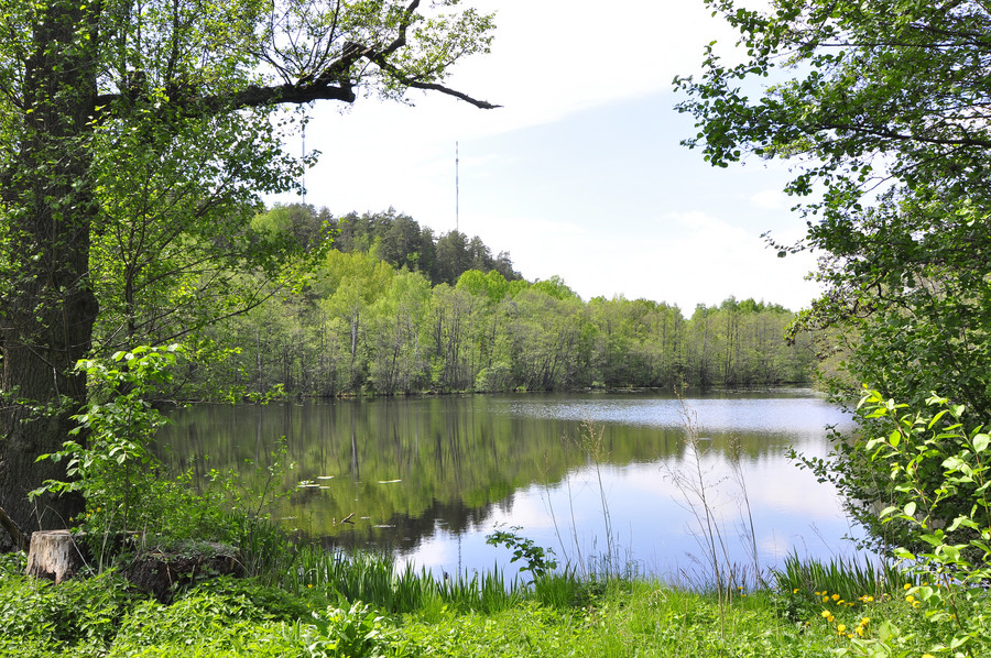
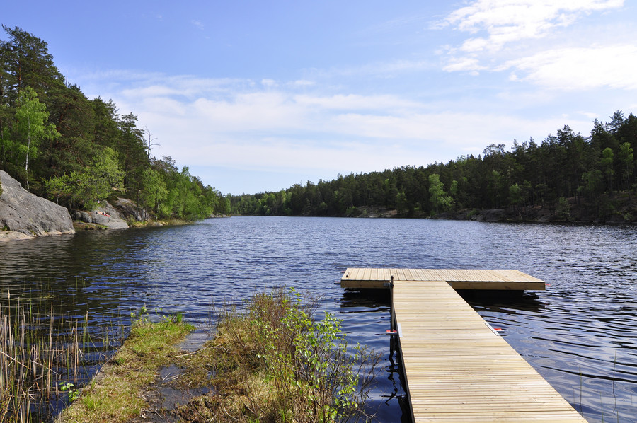
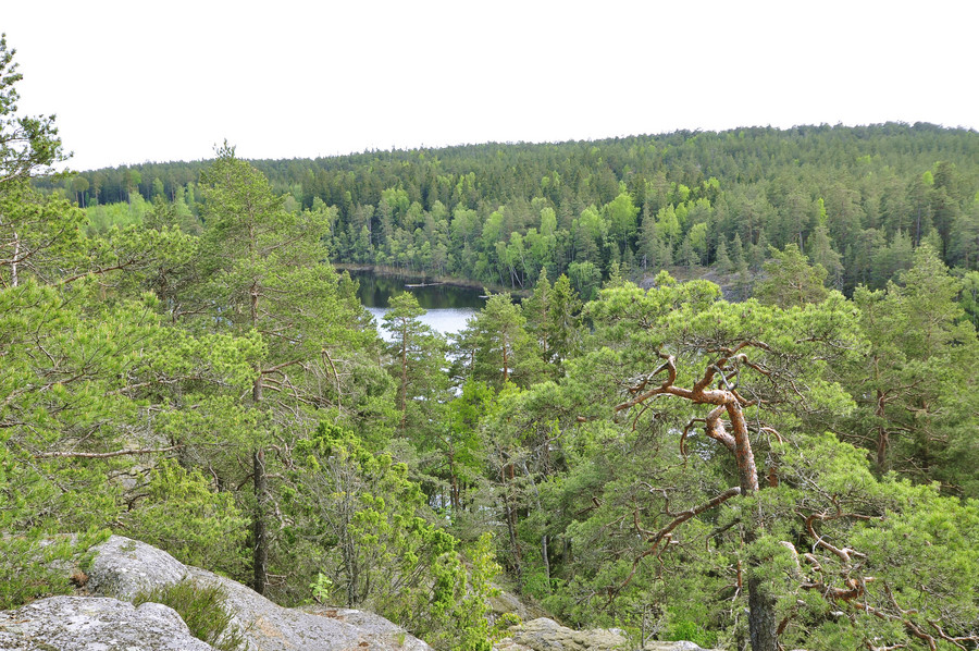
This lake was a welcome change in scenery.
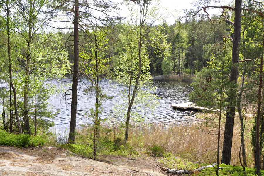
I sat on the dock for a few minutes.
I moved on and started walking up the hill to the side of the lake.
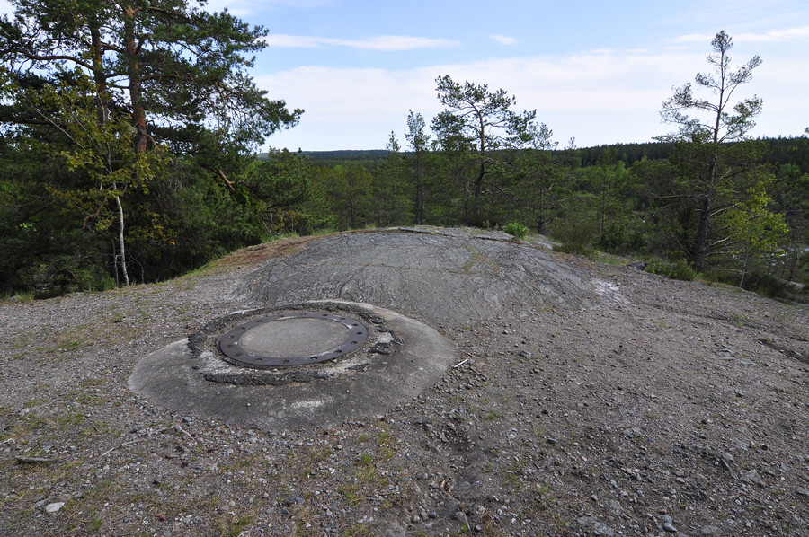
Perhaps a mast once stood here.
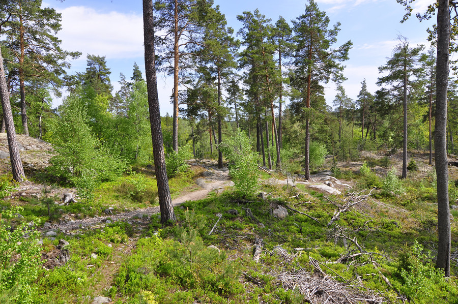
Straight from the fucking camera, it really was this outstanding. I don’t ever want to live somehwere without a forest nearby, which is a far cry from the suburban town I grew up in.
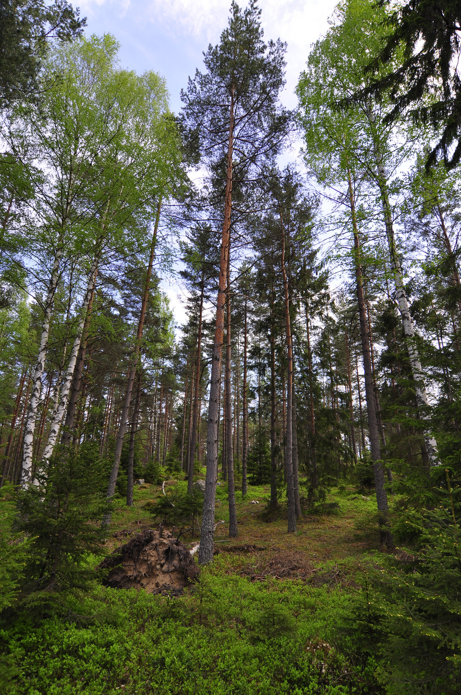
This is the best kind of forest to walk through, where the ground is soft and green and the brush is thin.
